青藏高原250米逐日水体制图(2000-2022)
收藏国家青藏高原科学数据中心2023-12-21 更新2024-03-06 收录
下载链接:
https://data.tpdc.ac.cn/zh-hans/data/763cfc76-4f18-4c11-b45b-ec23d5fc769d
下载链接
链接失效反馈官方服务:
资源简介:
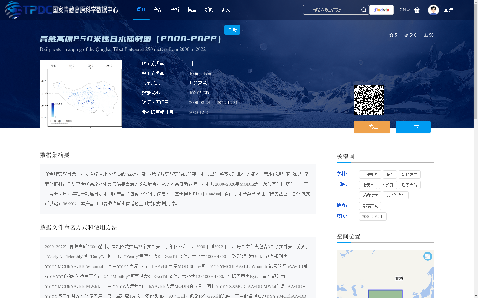
在全球变暖背景下,以青藏高原为核心的“亚洲水塔”区域呈现变暖变湿的趋势,利用卫星遥感可对亚洲水塔区地表水体进行有效的时空变化监测。为研究青藏高原水体受气候等因素的长期影响,及水体高度动态特性,利用2000–2020年MODIS逐日反射率时间序列,生产了青藏高原23年超长期逐日水体制图产品(包含水体结冰信息)。基于同时刻30米Landsat图像的水体分类结果进行精度验证,总体精度可以达到96.90%。本产品可为青藏高原水体遥感监测提供数据支撑。
Against the backdrop of global warming, the "Asian Water Tower" region centered on the Qinghai-Tibet Plateau has shown a trend of warming and wetting. Satellite remote sensing can effectively monitor the spatiotemporal changes of surface water bodies in the Asian Water Tower area. To investigate the long-term impacts of climate and other factors on water bodies on the Qinghai-Tibet Plateau, as well as the highly dynamic characteristics of these water bodies, we produced a 23-year ultra-long-term daily water body mapping product (including water body freezing information) for the Qinghai-Tibet Plateau using daily reflectance time series of MODIS data from 2000 to 2020. The accuracy of this product was verified using water body classification results from 30-meter resolution Landsat images acquired at the same time, with an overall accuracy of 96.90%. This product can provide data support for remote sensing monitoring of water bodies on the Qinghai-Tibet Plateau.
提供机构:
计璐艳
创建时间:
2023-12-18
搜集汇总
数据集介绍
背景与挑战
背景概述
该数据集是青藏高原2000年至2022年逐日水体制图产品,空间分辨率为250米,基于MODIS遥感数据生产,用于监测地表水体的长期动态变化,总体精度达96.90%。数据以GeoTiff格式提供年、月、日三个时间层次的水体覆盖信息,支持开放获取,适用于遥感监测和水资源研究。
以上内容由遇见数据集搜集并总结生成


