河西绿洲区高时空分辨率碳通量数据集(2000-2022)
收藏国家青藏高原科学数据中心2025-07-14 更新2025-07-26 收录
下载链接:
https://data.tpdc.ac.cn/zh-hans/data/5b9786a4-eb18-4ddd-b45d-582540049bdd
下载链接
链接失效反馈官方服务:
资源简介:
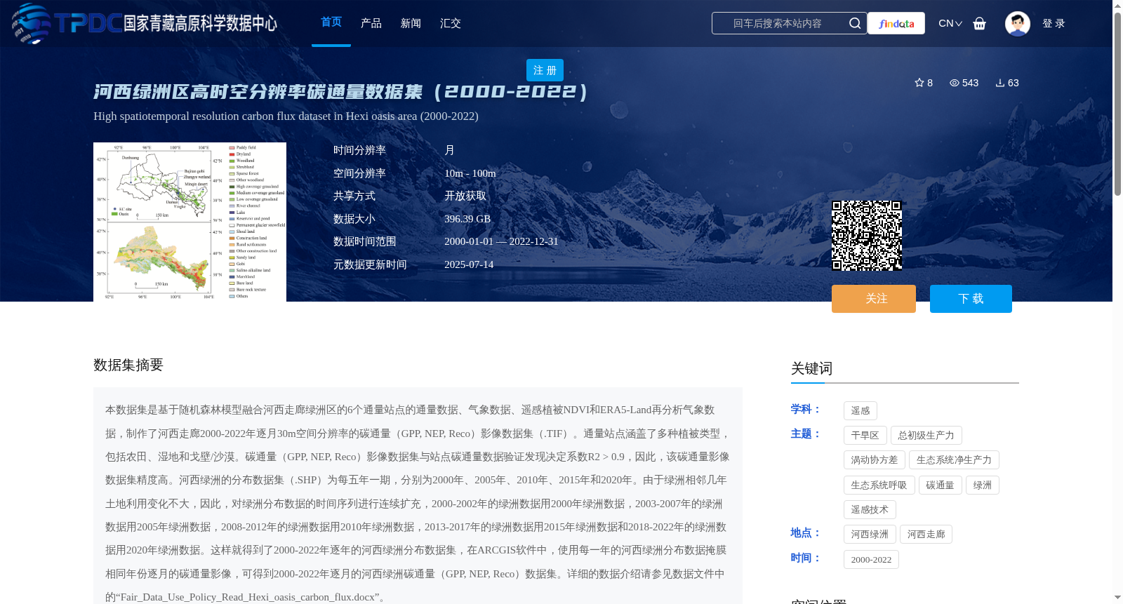
本数据集是基于随机森林模型融合河西走廊绿洲区的6个通量站点的通量数据、气象数据、遥感植被NDVI和ERA5-Land再分析气象数据,制作了河西走廊2000-2022年逐月30m空间分辨率的碳通量(GPP, NEP, Reco)影像数据集(.TIF)。通量站点涵盖了多种植被类型,包括农田、湿地和戈壁/沙漠。碳通量(GPP, NEP, Reco)影像数据集与站点碳通量数据验证发现决定系数R2 > 0.9,因此,该碳通量影像数据集精度高。河西绿洲的分布数据集(.SHP)为每五年一期,分别为2000年、2005年、2010年、2015年和2020年。由于绿洲相邻几年土地利用变化不大,因此,对绿洲分布数据的时间序列进行连续扩充,2000-2002年的绿洲数据用2000年绿洲数据,2003-2007年的绿洲数据用2005年绿洲数据,2008-2012年的绿洲数据用2010年绿洲数据,2013-2017年的绿洲数据用2015年绿洲数据和2018-2022年的绿洲数据用2020年绿洲数据。这样就得到了2000-2022年逐年的河西绿洲分布数据集,在ARCGIS软件中,使用每一年的河西绿洲分布数据掩膜相同年份逐月的碳通量影像,可得到2000-2022年逐月的河西绿洲碳通量(GPP, NEP, Reco)数据集。详细的数据介绍请参见数据文件中的“Fair_Data_Use_Policy_Read_Hexi_oasis_carbon_flux.docx”。
This dataset is a monthly 30-meter spatial resolution carbon flux (GPP, NEP, Reco) image dataset (.TIF) spanning the Hexi Corridor from 2000 to 2022. It was generated by fusing flux data, meteorological data, remote sensing-derived vegetation NDVI, and ERA5-Land reanalysis meteorological data from six flux sites located in the oasis regions of the Hexi Corridor using a random forest model. These flux sites encompass a diverse range of vegetation types, including cropland, wetland, and Gobi/desert. Validation of this carbon flux image dataset against in-situ carbon flux measurements from the flux sites yielded a coefficient of determination (R²) greater than 0.9, confirming its high accuracy. The Hexi Oasis distribution dataset, stored in .SHP format, is released at 5-year intervals for the years 2000, 2005, 2010, 2015, and 2020. Given that land use changes within oases are minimal across consecutive years, we conducted temporal continuity expansion for the oasis distribution dataset time series: oasis data for 2000–2002 use the 2000 version, 2003–2007 use the 2005 version, 2008–2012 use the 2010 version, 2013–2017 use the 2015 version, and 2018–2022 use the 2020 version. This process yields an annual Hexi Oasis distribution dataset for 2000–2022. By using the annual Hexi Oasis distribution data to mask the monthly carbon flux images of the corresponding year in ArcGIS software, we can obtain the monthly Hexi Oasis carbon flux (GPP, NEP, Reco) dataset for the period 2000–2022. For a detailed data description, please refer to the document "Fair_Data_Use_Policy_Read_Hexi_oasis_carbon_flux.docx" included in the data package.
提供机构:
周旭强,王旭峰,任志国,张阳,谭俊磊,NAWAZ Zain
创建时间:
2025-07-13
搜集汇总
数据集介绍
背景与挑战
背景概述
该数据集包含2000-2022年河西走廊绿洲区逐月30m分辨率的碳通量数据(GPP、NEP、Reco),通过多源数据融合生成,验证精度高,适用于碳循环和生态系统研究。
以上内容由遇见数据集搜集并总结生成


