喜马拉雅山30m遥感影像(1980,2000,2020)
收藏国家青藏高原科学数据中心2023-02-24 更新2024-03-01 收录
下载链接:
https://data.tpdc.ac.cn/zh-hans/data/40eebc7c-cdab-4f1d-9063-362f7c33f9b3
下载链接
链接失效反馈官方服务:
资源简介:
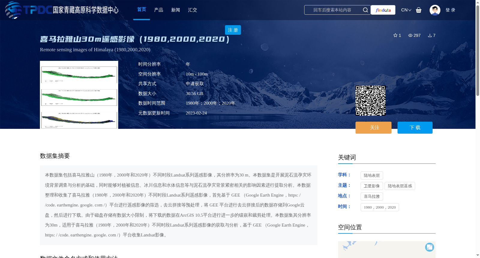
本数据集包括喜马拉雅山(1980年,2000年和2020年)不同时段Landsat系列遥感影像,其分辨率为30 m。本数据集是开展泥石流孕灾环境背景调查与分析的基础,同时能够对植被信息、冰川信息和水体信息等与泥石流孕灾背景紧密相关的影响因素进行提取分析。本数据整理和收集了喜马拉雅(1980年,2000年和2020年)不同时段Landsat系列遥感影像,首先基于 GEE (Google Earth Engine,https: / /code. earthengine. google. com /)平台进行遥感影像的筛选,去云拼接等预处理,将 GEE 平台进行去云拼接后的数据存储到Google云盘,然后进行下载。由于磁盘存储有数据大小限制,将下载的数据在ArcGIS 10.5平台进行进一步的镶嵌和裁剪处理。本数据集其分辨率为30m,适用于喜马拉雅(1980年,2000年和2020年)不同时段Landsat系列遥感影像的获取与分析,基于 GEE (Google Earth Engine,https: / /code. earthengine. google. com /)平台收集Landsat影像。
This dataset includes Landsat series remote sensing images of the Himalayas captured in three distinct periods (1980, 2000, and 2020), with a spatial resolution of 30 m. It serves as a foundational resource for surveys and analyses of the environmental background predisposing debris flow disasters, and enables extraction and analysis of factors closely linked to debris flow disaster-prone backgrounds, including vegetation, glacier, and water body information. This dataset compiles and collects Landsat series remote sensing images of the Himalayas across different time periods. First, remote sensing images were screened and preprocessed via cloud removal and mosaicking on the Google Earth Engine (GEE, https://code.earthengine.google.com/) platform. The preprocessed data generated on the GEE platform was stored in Google Drive before being downloaded. Owing to storage size limitations of local disks, the downloaded data underwent further mosaicking and clipping processing using the ArcGIS 10.5 platform. With a 30 m spatial resolution, this dataset is applicable to the acquisition and analysis of Landsat series remote sensing images of the Himalayas for 1980, 2000, and 2020, and Landsat images were collected using the GEE (Google Earth Engine, https://code.earthengine.google.com/) platform.
提供机构:
朱亚茹
创建时间:
2023-02-23
搜集汇总
数据集介绍
背景与挑战
背景概述
该数据集包含1980年、2000年和2020年喜马拉雅山30米分辨率的Landsat遥感影像,适用于泥石流孕灾环境背景调查及植被、冰川和水体信息分析。数据经过GEE平台预处理和ArcGIS后期处理,总大小为30.56 GB。
以上内容由遇见数据集搜集并总结生成


