洞庭湖流域1:25万分级河网数据集(2002年)
收藏国家地球系统科学数据中心2024-09-04 更新2024-03-04 收录
下载链接:
https://www.geodata.cn/data/datadetails.html?dataguid=271893300594232&docId=2702
下载链接
链接失效反馈官方服务:
资源简介:
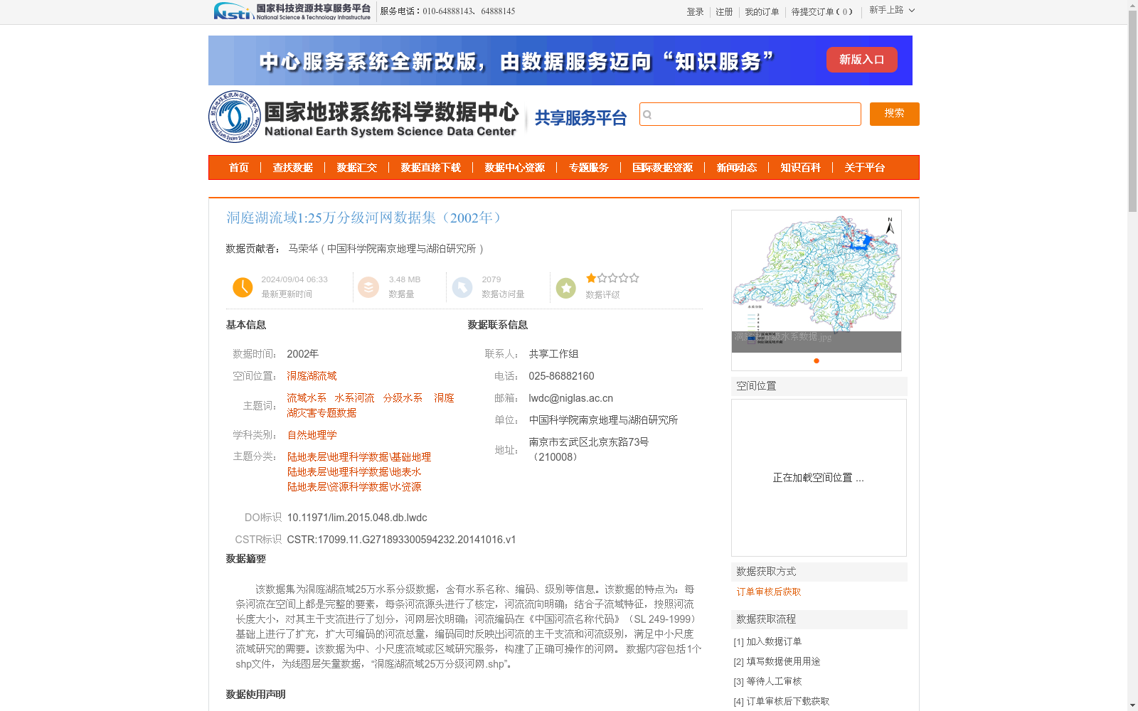
该数据集为洞庭湖流域25万水系分级数据,含有水系名称、编码、级别等信息。该数据的特点为:每条河流在空间上都是完整的要素,每条河流源头进行了核定,河流流向明确;结合子流域特征,按照河流长度大小,对其主干支流进行了划分,河网层次明确;河流编码在《中国河流名称代码》(SL 249-1999)基础上进行了扩充,扩大可编码的河流总量,编码同时反映出河流的主干支流和河流级别,满足中小尺度流域研究的需要。该数据为中、小尺度流域或区域研究服务,构建了正确可操作的河网。
数据内容包括1个shp文件,为线图层矢量数据,“洞庭湖流域25万分级河网.shp”。
This dataset is a 1:250,000-scale hierarchical river system dataset for the Dongting Lake Basin, which contains information such as river system names, codes and hierarchy levels.
The characteristics of this dataset are as follows:
1. Each river is a complete spatial feature, with verified source locations and clear flow directions;
2. Combined with sub-basin characteristics, main stems and tributaries are classified based on river length, resulting in a clearly hierarchical river network;
3. The river codes are expanded based on the *Code for Chinese River Names* (SL 249-1999), increasing the total number of codable rivers. The codes simultaneously reflect the main-tributary relationship and hierarchy level of rivers, meeting the research needs of medium and small-scale basins.
This dataset serves medium and small-scale basin or regional research, and has constructed a correctly formatted and operable river network.
The dataset includes one shapefile (SHP), which is a line-layer vector data named "Dongting Lake Basin 1:250,000 Hierarchical River Network.shp".
提供机构:
中国科学院南京地理与湖泊研究所
创建时间:
2014-10-16
搜集汇总
数据集介绍
背景与挑战
背景概述
该数据集是2002年洞庭湖流域的1:25万分级河网矢量数据,以shp线图层格式提供,包含水系名称、编码和级别等信息。其特点在于每条河流在空间上完整、源头核定、流向明确,并基于河流长度和子流域特征划分主干支流,河网层次清晰;河流编码在《中国河流名称代码》基础上进行了扩充,支持中小尺度流域研究。数据质量优良,适用于自然地理学和水资源相关的中小尺度研究。
以上内容由遇见数据集搜集并总结生成


