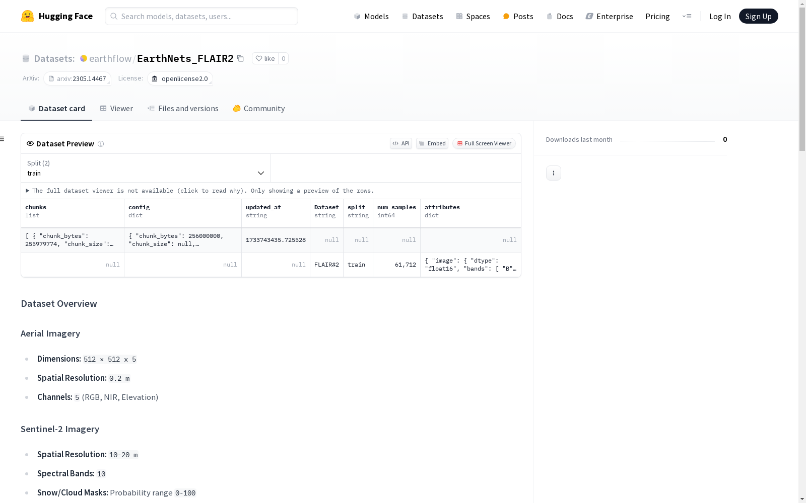
EarthNets_FLAIR2
收藏数据集概述
航空影像
- 尺寸:
512 × 512 x 5 - 空间分辨率:
0.2 m - 通道:
5(RGB, NIR, Elevation)
Sentinel-2 影像
- 空间分辨率:
10-20 m - 光谱波段:
10 - 雪/云掩膜: 概率范围
0-100 - 多时间步: 格式
T × 10 × W × H(其中T,W,H变化)
标签 (掩膜)
- 尺寸:
512 × 512 - 类别数量:
13
类别
| 类别ID | 类别名称 | 可视化与提示 |
|---|---|---|
| 0 | 建筑物 | 🏠 |
| 1 | 透水面 | 🌱 (可行走/多孔) |
| 2 | 不透水面 | 🏙 (混凝土/沥青) |
| 3 | 裸土 | 🏜 (暴露的土壤) |
| 4 | 水体 | 💧 |
| 5 | 针叶林 | 🌲 (常绿树) |
| 6 | 阔叶林 | 🍂 (落叶树) |
| 7 | 灌木丛 | 🌿 (灌木/灌丛) |
| 8 | 葡萄园 | 🍇 (葡萄藤) |
| 9 | 草本植被 | 🍀 (草/绿色植物) |
| 10 | 农业用地 | 🌾 (农田/作物) |
| 11 | 耕地 | 🔨 (新耕土壤) |
| 12 | 其他 | ❓ (未分类) |
使用方法
安装 Dataset4EO
git clone --branch streaming https://github.com/EarthNets/Dataset4EO.git
pip install -e .
然后从 Huggingface 仓库下载数据集。
python import dataset4eo as eodata import time
train_dataset = eodata.StreamingDataset(input_dir="optimized_flair2_test", num_channels=5, channels_to_select=[0,1,2], shuffle=True, drop_last=True)
sample = dataset[101]
print(sample.keys())
print(sample["image"])
print(sample["simage"].shape)
print(sample["label"])
引用
@article{garioud2023flair, title={FLAIR# 2: textural and temporal information for semantic segmentation from multi-source optical imagery}, author={Garioud, Anatol and De Wit, Apolline and Poup{e}e, Marc and Valette, Marion and Giordano, S{e}bastien and Wattrelos, Boris}, journal={arXiv preprint arXiv:2305.14467}, year={2023} }
数据集许可证
该数据集使用 "OPEN LICENCE 2.0/LICENCE OUVERTE" 许可证,该许可证由法国政府创建,旨在促进公共管理部门开放数据的传播。