内蒙古土地利用现状面积统计表(旗县)
收藏国家林业和草原科学数据中心2005-06-21 更新2024-03-06 收录
下载链接:
https://www.forestdata.cn/dataDetail.html?id=CSTR:17575.11.0120180621005.020001.V1
下载链接
链接失效反馈官方服务:
资源简介:
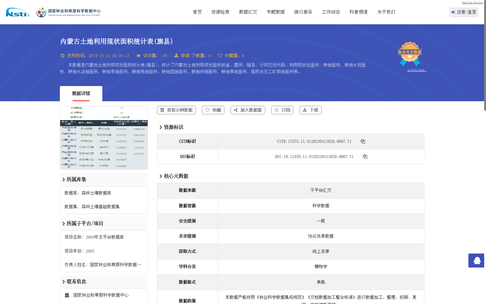
本数据是内蒙古土地利用现状面积统计表(旗县)。统计了内蒙古土地利用现状面积的省、盟市、旗县、行政区划代码、利用现状总面积、耕地面积、耕地水田面积、耕地水浇地面积、耕地旱地面积、耕地菜地面积、耕地园地面积、耕地林地面积、耕地草地面积、居民点及工矿用地面积等。
This dataset is the Current Land Use Area Statistics Table at the Banner and County Level for Inner Mongolia Autonomous Region. It compiles statistical data covering provincial, prefecture-level city, banner and county administrative divisions, their administrative division codes, total current land use area, cultivated land area (comprising paddy field area, irrigated cropland area, rain-fed cropland area, vegetable plot area, garden plot area, forest land area and grassland area of cultivated land), as well as residential and industrial land area, and other related statistical indicators.
提供机构:
国家林业和草原科学数据中心
创建时间:
2005-06-21
搜集汇总
数据集介绍
背景与挑战
背景概述
该数据集是2005年内蒙古自治区旗县级土地利用现状面积统计表,详细记录了省、盟市、旗县的行政区划代码及各类土地利用面积,如耕地、林地、草地等。数据来源于国家林业和草原科学数据中心,经过规范化录入和校对,以表格形式提供,共17列93行,数据量较小,适用于区域土地利用分析。
以上内容由遇见数据集搜集并总结生成


