7种假设海平面上升情境下中国近海月最高海平面高度
收藏地球大数据科学工程2024-04-26 收录
下载链接:
https://data.casearth.cn/sdo/detail/636e17eb819aec5df66b51d7
下载链接
链接失效反馈官方服务:
资源简介:
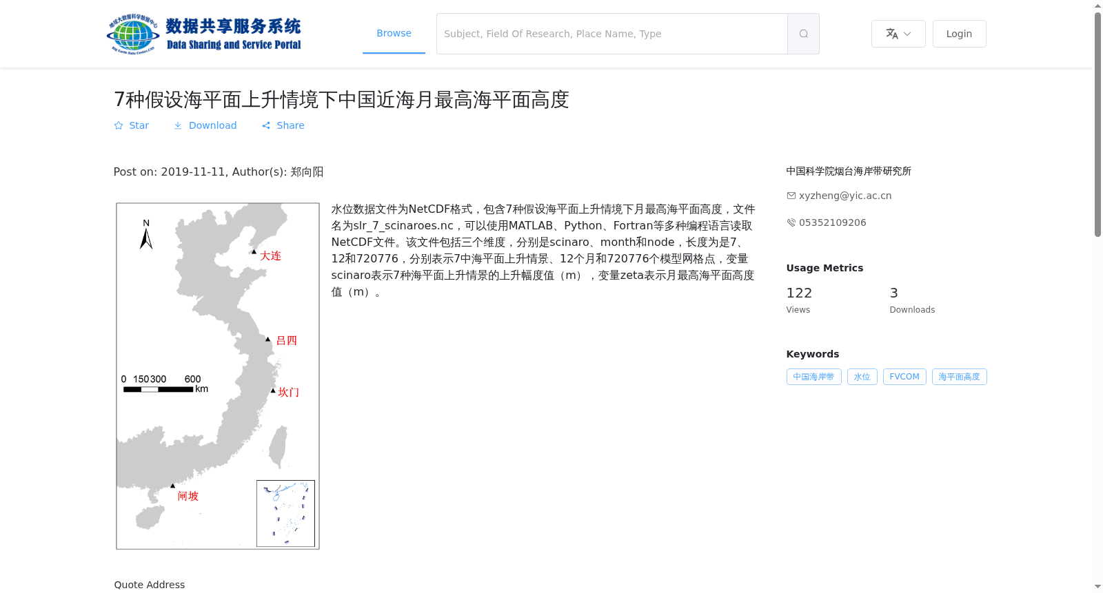
水位数据文件为NetCDF格式,包含7种假设海平面上升情境下月最高海平面高度,文件名为slr_7_scinaroes.nc,可以使用MATLAB、Python、Fortran等多种编程语言读取NetCDF文件。该文件包括三个维度,分别是scinaro、month和node,长度为是7、12和720776,分别表示7中海平面上升情景、12个月和720776个模型网格点,变量scinaro表示7种海平面上升情景的上升幅度值(m),变量zeta表示月最高海平面高度值(m)。
The water level data file is in NetCDF format, containing monthly maximum sea level heights under seven hypothetical sea level rise scenarios. The file is named slr_7_scinaroes.nc. NetCDF files can be read using multiple programming languages such as MATLAB, Python, Fortran and others. This file comprises three dimensions: scinaro, month, and node, with lengths of 7, 12, and 720776 respectively, representing 7 sea level rise scenarios, 12 calendar months, and 720776 model grid points. The variable "scinaro" stores the sea level rise magnitude values (in meters) for the 7 scenarios, while the variable "zeta" stores the monthly maximum sea level height values (in meters).
提供机构:
中国科学院烟台海岸带研究所
搜集汇总
数据集介绍
背景与挑战
背景概述
该数据集提供了7种假设海平面上升情境下中国近海区域的月最高海平面高度数据,以NetCDF格式存储,包含720776个模型网格点的12个月数据,适用于海洋环境变化研究。
以上内容由遇见数据集搜集并总结生成


