TRMM 3B42
收藏disc.gsfc.nasa.gov2024-10-24 收录
下载链接:
https://disc.gsfc.nasa.gov/datasets/TRMM_3B42_7/summary
下载链接
链接失效反馈资源简介:
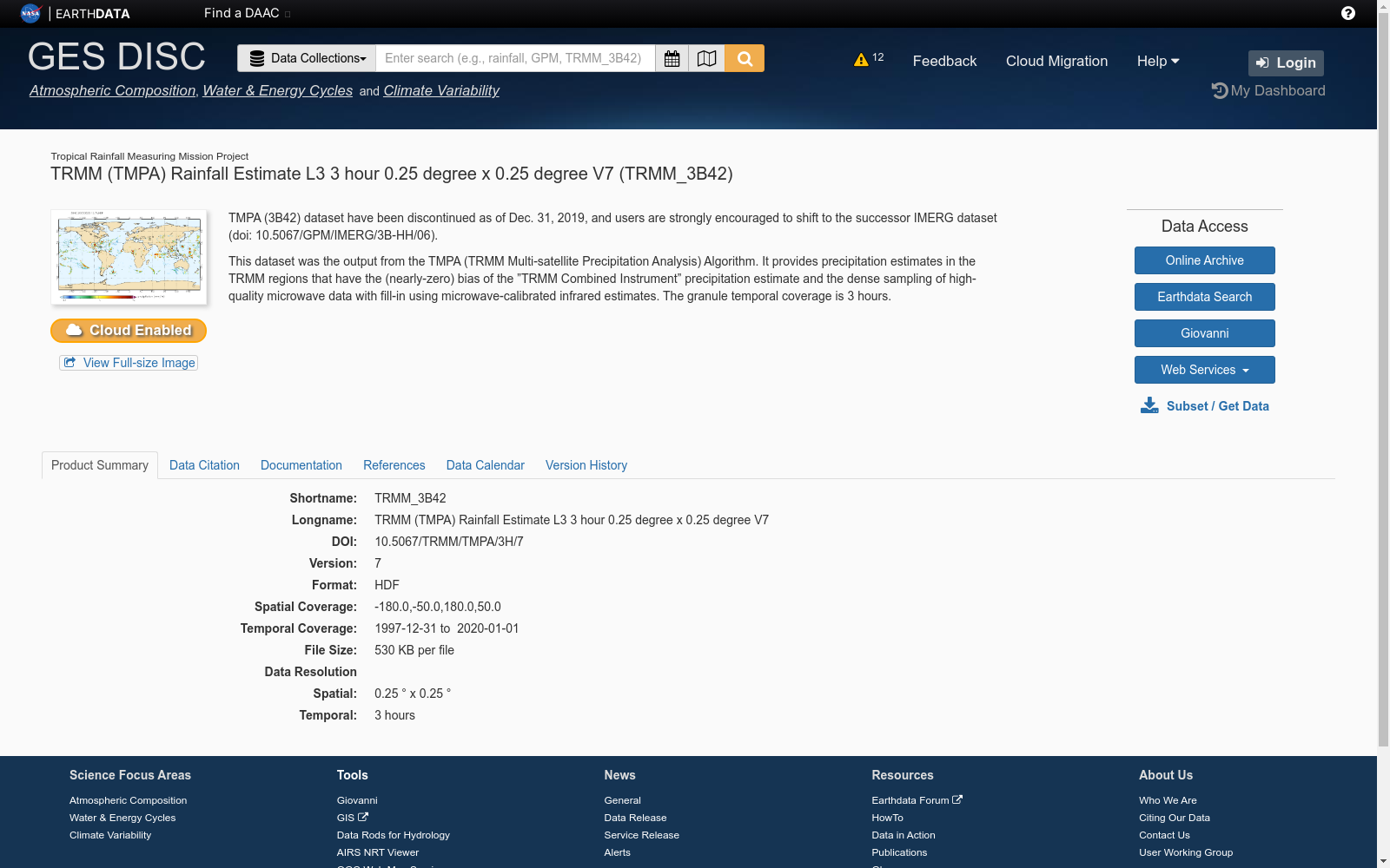
TRMM 3B42 数据集是由NASA和JAXA联合开发的Tropical Rainfall Measuring Mission (TRMM)卫星项目的一部分。该数据集提供了全球热带和亚热带地区的降水估计,包括降雨率和降雨量。数据以3小时的时间分辨率和0.25°的空间分辨率提供。
The TRMM 3B42 dataset is part of the Tropical Rainfall Measuring Mission (TRMM) satellite program jointly developed by NASA and JAXA. This dataset provides precipitation estimates for global tropical and subtropical regions, including rainfall rate and rainfall accumulation. The data is provided with a temporal resolution of 3 hours and a spatial resolution of 0.25°.
提供机构:
disc.gsfc.nasa.gov
AI搜集汇总
数据集介绍
构建方式
TRMM 3B42数据集的构建基于热带降雨测量任务(TRMM)卫星的观测数据,通过多传感器融合技术,包括微波成像仪、降水雷达和红外传感器,实现了对全球热带和亚热带地区降雨量的精确测量。数据处理流程包括原始数据的校正、插值和网格化,最终生成每日、每月和每年的降雨量产品,空间分辨率为0.25°×0.25°。
使用方法
TRMM 3B42数据集可广泛应用于气象学、水文学和环境科学等领域。研究人员可以通过下载官方发布的NetCDF或HDF格式文件,利用GIS软件或编程语言如Python、R进行数据分析和可视化。此外,该数据集还可与其他气象数据集结合,用于构建复杂的气候模型和预测系统。
背景与挑战
背景概述
TRMM 3B42数据集,全称为Tropical Rainfall Measuring Mission 3B42,是由NASA与日本宇宙航空研究开发机构(JAXA)联合开发的热带降雨测量任务的一部分。该数据集自1998年启动以来,已成为全球热带和亚热带地区降雨量监测的重要工具。其核心研究问题集中在通过卫星遥感技术精确测量和分析热带地区的降雨模式,以支持气候变化研究和灾害预警系统。TRMM 3B42数据集不仅提升了对热带降雨机制的理解,还为农业、水资源管理和公共卫生等领域提供了关键数据支持。
当前挑战
TRMM 3B42数据集在构建和应用过程中面临多项挑战。首先,热带地区的复杂气候条件和频繁的云层覆盖增加了数据采集的难度,导致数据缺失和误差。其次,数据集的更新频率和覆盖范围需不断优化,以确保实时性和全面性。此外,数据集的精度依赖于多种卫星传感器的协同工作,如何有效整合这些数据源并减少误差是一个持续的研究课题。最后,数据集的应用需克服不同地区和季节的降雨特征差异,以提供更为精确的降雨预测和分析。
发展历史
创建时间与更新
TRMM 3B42数据集由美国国家航空航天局(NASA)和日本宇宙航空研究开发机构(JAXA)联合创建,首次发布于1998年,随后在2000年进行了首次重大更新。该数据集的持续更新确保了其在全球降水测量中的准确性和时效性。
重要里程碑
TRMM 3B42数据集的重要里程碑包括2001年引入的实时数据处理系统,显著提高了数据的可访问性和应用范围。2015年,随着热带降雨测量任务(TRMM)卫星的退役,数据集的维护和更新工作由后续的GPM(全球降水测量)任务接手,确保了数据集的连续性和技术进步。此外,2017年,TRMM 3B42数据集被整合到GPM的综合多卫星降水分析(IMERG)系统中,进一步提升了其在全球降水监测中的作用。
当前发展情况
当前,TRMM 3B42数据集作为GPM IMERG系统的一部分,继续在全球降水监测和气候研究中发挥关键作用。其高时空分辨率的数据为气象预报、洪水预警和气候模型提供了重要支持。数据集的持续更新和改进,确保了其在应对全球气候变化和极端天气事件中的实用性和可靠性。此外,TRMM 3B42数据集的开放获取政策促进了全球科研合作,推动了相关领域的技术进步和知识共享。
发展历程
- TRMM(Tropical Rainfall Measuring Mission)卫星发射,标志着TRMM 3B42数据集的初步形成。
- TRMM 3B42数据集首次发布,提供全球热带地区的降水数据。
- TRMM 3B42数据集进行首次重大更新,提高了数据的空间和时间分辨率。
- TRMM 3B42数据集开始广泛应用于气候研究和灾害预警系统。
- TRMM卫星退役,但其数据集继续由后续卫星(如GPM)维护和更新。
常用场景
经典使用场景
在气象学领域,TRMM 3B42数据集以其高精度的降水估计而著称。该数据集通过综合多种卫星观测数据,提供全球范围内的三小时降水率估计,尤其在热带和亚热带地区表现卓越。其经典使用场景包括气候模型验证、极端天气事件分析以及水文循环研究,为科学家提供了宝贵的数据支持。
解决学术问题
TRMM 3B42数据集在解决学术研究问题方面具有重要意义。它填补了传统地面观测站覆盖不足的空白,特别是在海洋和偏远地区。通过提供连续、高分辨率的降水数据,该数据集帮助研究人员解决了降水时空分布不均的问题,推动了气候变化、水资源管理和灾害预警等领域的研究进展。
实际应用
在实际应用中,TRMM 3B42数据集被广泛用于农业灌溉、水资源管理、洪水预警和灾害响应等领域。例如,农业部门利用该数据集优化灌溉策略,提高水资源利用效率;水利部门则通过实时降水监测,提前预警洪水风险,减少灾害损失。此外,国际救援组织也利用该数据集进行灾害评估和响应规划。
数据集最近研究
最新研究方向
在气象学领域,TRMM 3B42数据集作为热带降雨测量任务的核心产品,近年来在气候变化和极端天气事件的研究中扮演了关键角色。研究者们利用该数据集的高时空分辨率,深入探讨了全球降雨模式的长期变化趋势及其对气候系统的潜在影响。特别是,结合机器学习和大数据分析技术,TRMM 3B42数据集被广泛应用于预测和模拟极端降雨事件,为防灾减灾提供了科学依据。此外,该数据集还促进了多源遥感数据的融合研究,提升了对复杂气候现象的理解和预测能力。
相关研究论文
- 1The TRMM Multisatellite Precipitation Analysis (TMPA): Quasi-Global, Multiyear, Combined-Sensor Precipitation Estimates at Fine ScalesNASA Goddard Space Flight Center · 2007年
- 2Evaluation of the TRMM 3B42 Precipitation Product Using a High-Density Rain Gauge NetworkUniversity of California, Irvine · 2011年
- 3A Multi-Year Comparison of TRMM 3B42 and GPM IMERG Precipitation Products over the Mekong River BasinNanjing University of Information Science & Technology · 2019年
- 4Evaluation of TRMM 3B42 Precipitation Product in Capturing the Extreme Rainfall Events in the Yangtze River BasinChinese Academy of Sciences · 2017年
- 5Assessing the Performance of TRMM 3B42 Precipitation Product in the Upper Yangtze River BasinNanjing University of Information Science & Technology · 2016年
以上内容由AI搜集并总结生成


