CaneSat
收藏Mendeley Data2024-03-27 更新2024-06-27 收录
下载链接:
https://ieee-dataport.org/documents/canesat
下载链接
链接失效反馈官方服务:
资源简介:
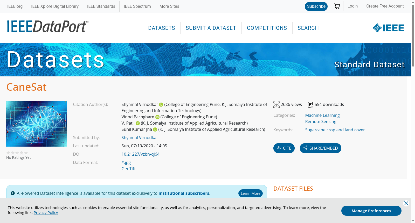
This dataset contains multispectral high resolution 1627 image patches of size 10 x 10 pixels with each pixel size of 10mx10m. These patches are generated from the Sentinel-2 (A/B) satellite images acquired during the period of October 2018 to May 2019. It covered one life cycle (12 months) of the sugarcane crop in the region of the Karnataka, India. Many parameters like plantation season, soil type, plantation type, crop variety and irrigation type that affects the growth of the sugarcane crop are considered while generating the samples. Along with sugarcane crop field areas other land covers are also included for classification purpose. The dataset provides two formats: jpg and tif. Former format includes images with RGB channels and later format includes six bands namely, Red, Green, Blue, Near Infrared, Red Edge and Short-wave infrared. Dataset also provides 3 vegetation indices .tif images such as enhanced vegetation index (EVI), normalized difference vegetation index (NDVI) and green normalized difference vegetation index (GNDVI) separately. All tif image patches are georeferenced and labeled. The focus of this dataset is to support further research in sugarcane crop classification especially in India.
创建时间:
2023-06-28
搜集汇总
数据集介绍
背景与挑战
背景概述
CaneSat数据集是一个用于甘蔗作物分类研究的多光谱卫星图像数据集,包含1627个标记的图像块,覆盖印度卡纳塔克邦甘蔗作物的完整生长周期,并提供多种波段和植被指数信息。该数据集旨在支持甘蔗作物分类研究,特别是针对印度地区的应用。
以上内容由遇见数据集搜集并总结生成


