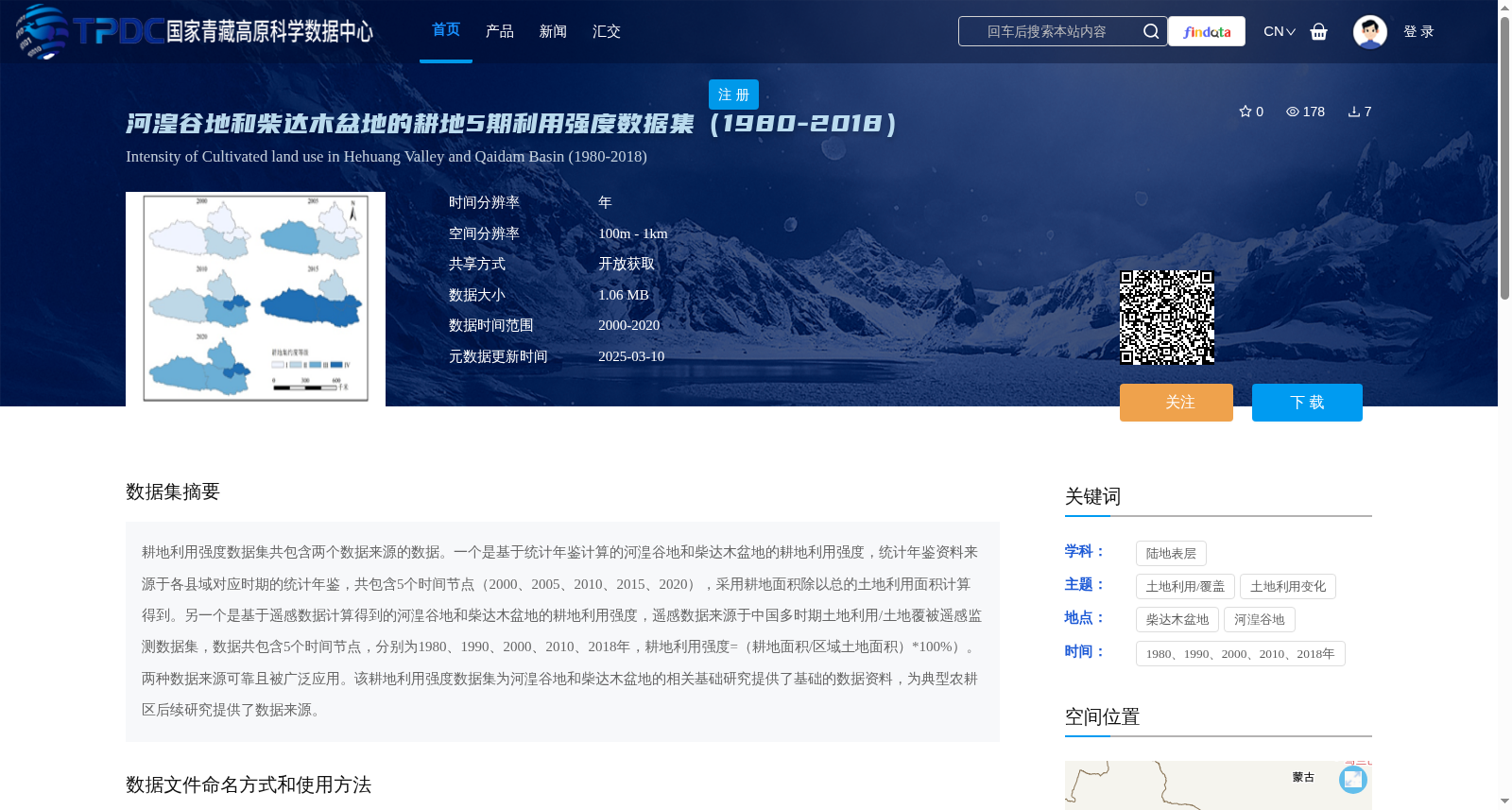
河湟谷地和柴达木盆地的耕地5期利用强度数据集(1980-2018)
收藏资源简介:
耕地利用强度数据集共包含两个数据来源的数据。一个是基于统计年鉴计算的河湟谷地和柴达木盆地的耕地利用强度,统计年鉴资料来源于各县域对应时期的统计年鉴,共包含5个时间节点(2000、2005、2010、2015、2020),采用耕地面积除以总的土地利用面积计算得到。另一个是基于遥感数据计算得到的河湟谷地和柴达木盆地的耕地利用强度,遥感数据来源于中国多时期土地利用/土地覆被遥感监测数据集,数据共包含5个时间节点,分别为1980、1990、2000、2010、2018年,耕地利用强度=(耕地面积/区域土地面积)*100%)。两种数据来源可靠且被广泛应用。该耕地利用强度数据集为河湟谷地和柴达木盆地的相关基础研究提供了基础的数据资料,为典型农耕区后续研究提供了数据来源。
The Cultivated Land Use Intensity Dataset includes data from two sources. One is the cultivated land use intensity of the Hehuang Valley and Qaidam Basin calculated based on statistical yearbooks. The statistical yearbook data are sourced from the annual statistical publications of each county corresponding to the study periods, covering 5 time nodes (2000, 2005, 2010, 2015, 2020), with the value calculated by dividing the cultivated land area by the total land use area. The other is the cultivated land use intensity of the Hehuang Valley and Qaidam Basin calculated using remote sensing data. The remote sensing data are sourced from the China Multi-period Land Use/Land Cover Remote Sensing Monitoring Dataset, which contains 5 time nodes: 1980, 1990, 2000, 2010, and 2018, and the cultivated land use intensity is calculated as (cultivated land area / regional land area) * 100%. Both data sources are reliable and widely applied. This dataset provides fundamental data for basic research related to the Hehuang Valley and Qaidam Basin, and offers a reliable data source for subsequent studies in typical agricultural regions.