东晋-清朝时期南京地图集(公元317-1911年)
收藏国家地球系统科学数据中心2023-11-14 更新2024-03-04 收录
下载链接:
https://www.geodata.cn/data/datadetails.html?dataguid=212628013978843&docId=4413
下载链接
链接失效反馈官方服务:
资源简介:
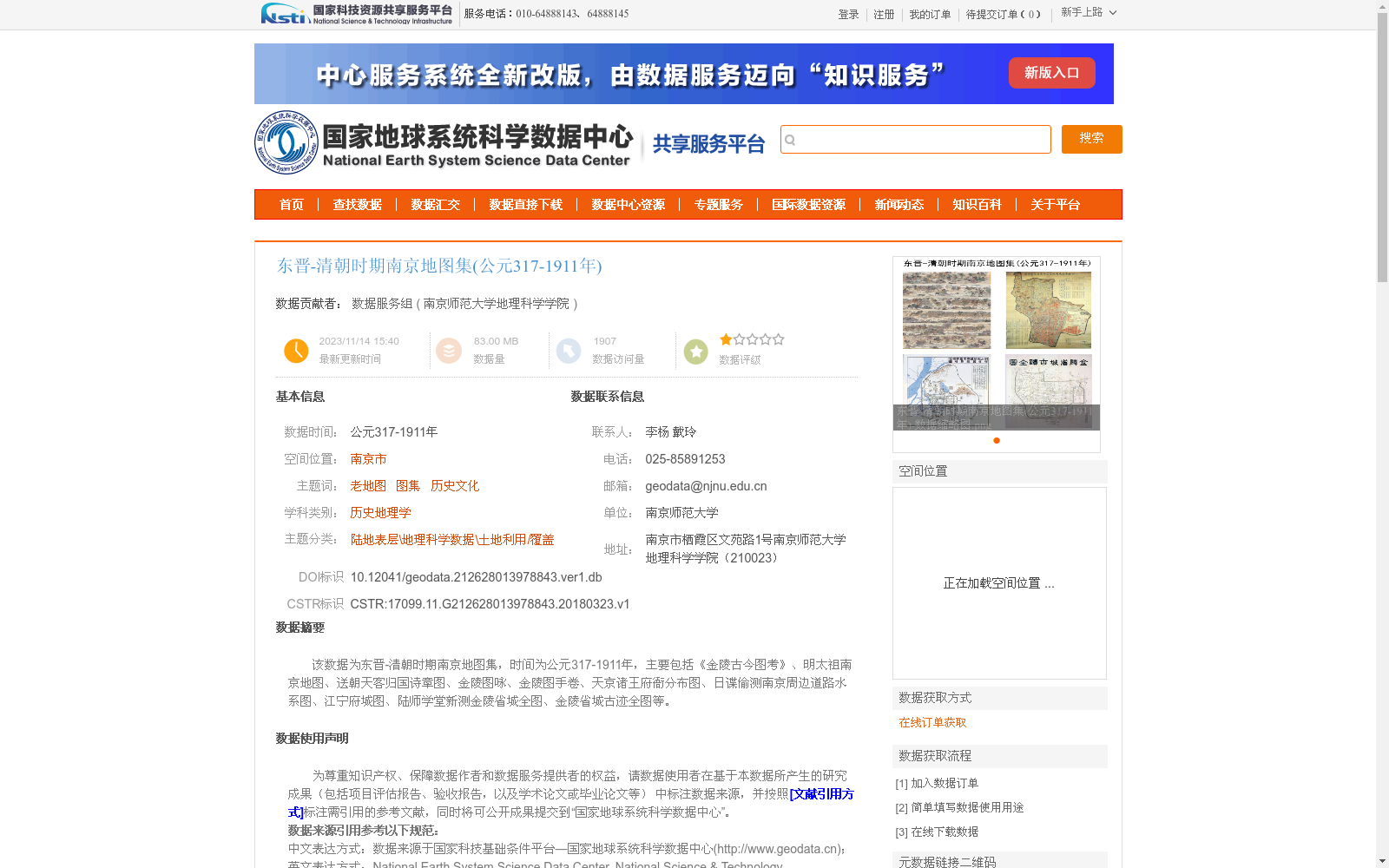
该数据为东晋-清朝时期南京地图集,时间为公元317-1911年,主要包括《金陵古今图考》、明太祖南京地图、送朝天客归国诗章图、金陵图咏、金陵图手卷、天京诸王府衙分布图、日谍偷测南京周边道路水系图、江宁府城图、陆师学堂新测金陵省城全图、金陵省城古迹全图等。
This dataset is an atlas of maps of Nanjing spanning from the Eastern Jin Dynasty to the Qing Dynasty, covering the period 317–1911 AD. It primarily includes *Jinling Gujin Tukao* (A Study of Ancient and Modern Maps of Jinling), Map of Nanjing during the Reign of Emperor Taizu of the Ming Dynasty, Scrolls of Poems and Paintings for Seeing Off Tribute Envoys Returning Home, *Jinling Tuyong* (Poetic Illustrations of Jinling), Handscroll of Jinling Maps, Distribution Map of the Princes' Mansions and Yamen in Tianjing (Nanjing during the Taiping Heavenly Kingdom), Secretly Surveyed Map of Roads and Water Systems in the Vicinity of Nanjing by Japanese Spies, Map of Jiangning Prefectural City, Newly Surveyed Complete Map of the Jinling Provincial Capital by the Land Force Academy, and Complete Map of Historic Sites in the Jinling Provincial Capital, among others.
提供机构:
南京师范大学地理科学学院
创建时间:
2018-03-23
搜集汇总
数据集介绍
背景与挑战
背景概述
该数据集是一个东晋至清朝时期(公元317-1911年)的南京历史地图集,包含《金陵古今图考》、明太祖南京地图等多种老地图,覆盖南京市的空间范围。数据集通过互联网抓取和整理形成,属于历史地理学学科,主题聚焦于老地图、图集和历史文化,具有较高的数据质量和可靠性,适用于历史研究和文化分析。
以上内容由遇见数据集搜集并总结生成


