adadai3132/PanoHK360
收藏资源简介:
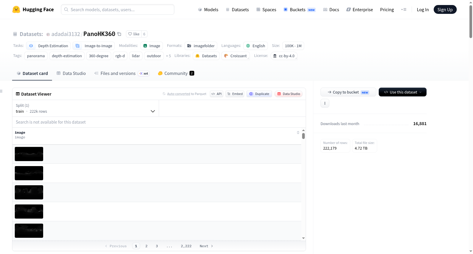
PanoHK360是一个大规模8K城市全景数据集和深度估计基准。该数据集采集于香港的密集城市环境,使用车载多传感器平台(包括Teledyne FLIR Ladybug全景相机和RIEGL VUXR-1HA22测量级激光雷达)同步捕获。数据以等距柱状投影格式提供,分辨率为8000×4000像素。每个帧包含RGB全景图、基于激光雷达的度量深度图、表面法线、原始点云和6自由度相机位姿。深度数据直接来源于激光雷达测量,确保了几何保真度。数据集涵盖连续的户外驾驶序列,包含多样的街道峡谷、交叉路口、建筑立面等复杂场景,适用于深度估计、几何感知和3D重建等计算机视觉任务。数据集已结构化,便于全景深度估计模型的即插即用训练和评估。
PanoHK360 is a large-scale 8K urban panoramic dataset and benchmark for depth estimation. It is captured in dense urban Hong Kong with a vehicle-mounted multi-sensor rig combining a panoramic camera and a survey-grade LiDAR scanner. The data are provided in equirectangular projection format at 8000×4000 resolution. Each frame includes RGB panorama, metric depth derived from LiDAR, surface normals, raw point cloud, and 6-DoF camera pose. Depth annotations are measured directly from LiDAR returns, ensuring geometric faithfulness. The dataset covers continuous outdoor driving sequences with diverse street canyons, intersections, façades, and complex occlusions, suitable for depth estimation, geometric perception, and 3D reconstruction tasks in computer vision. The release is structured for plug-and-play training and evaluation of panoramic depth-estimation models.