长江中下游流域1:100万边界数据集(2009年)
收藏国家地球系统科学数据中心2024-09-04 更新2024-03-04 收录
下载链接:
https://www.geodata.cn/data/datadetails.html?dataguid=258719470994739&docId=2634
下载链接
链接失效反馈官方服务:
资源简介:
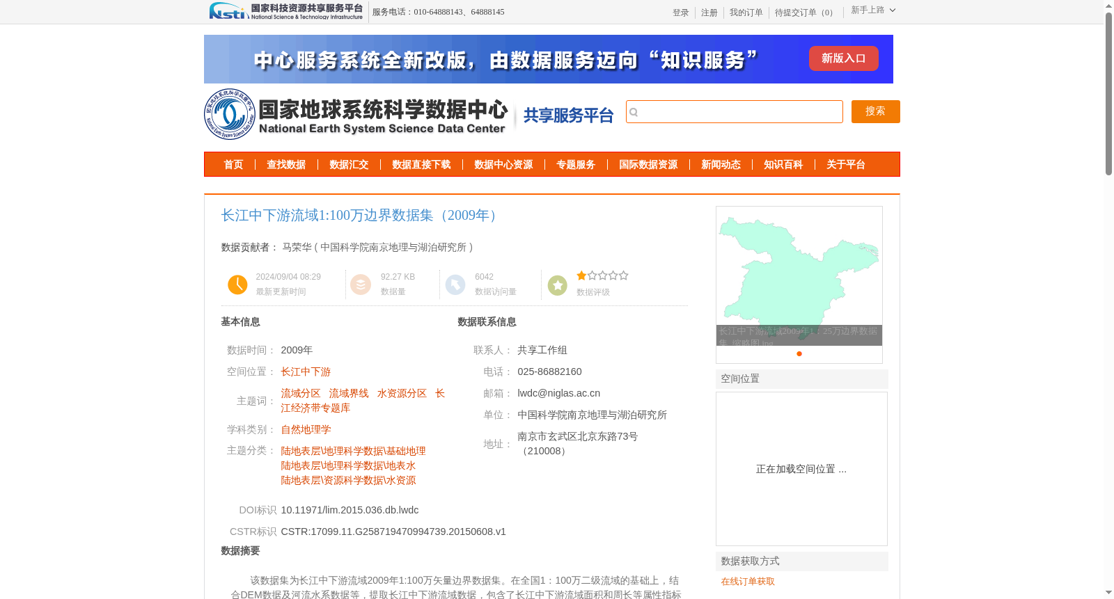
该数据集为长江中下游流域2009年1:100万矢量边界数据集。在全国1:100万二级流域的基础上,结合DEM数据及河流水系数据等,提取长江中下游流域数据,包含了长江中下游流域面积和周长等属性指标信息。
数据内容包含一个shp矢量数据,“中下游流域.shp”。
This dataset is the 1:1,000,000-scale vector boundary dataset for the middle and lower reaches of the Yangtze River, dating to 2009. Derived from the national 1:1,000,000-scale secondary river basin dataset, and integrated with DEM data and river system data, the data of the middle and lower reaches of the Yangtze River basin was extracted, including attribute indicators such as the area and perimeter of the basin. The dataset contains a single shp vector dataset named "middle_and_lower_reaches_basin.shp".
提供机构:
中国科学院南京地理与湖泊研究所
创建时间:
2015-06-08
搜集汇总
数据集介绍
背景与挑战
背景概述
该数据集是2009年长江中下游流域的1:100万矢量边界数据,包含流域面积和周长等属性信息,适用于自然地理学和水资源研究。
以上内容由遇见数据集搜集并总结生成


