2000-2019中亚五国土地退化零增长实现情况的空间分布图
收藏地球大数据科学工程2024-04-21 收录
下载链接:
https://data.casearth.cn/sdo/detail/636e17ed819aec5df66b523a
下载链接
链接失效反馈官方服务:
资源简介:
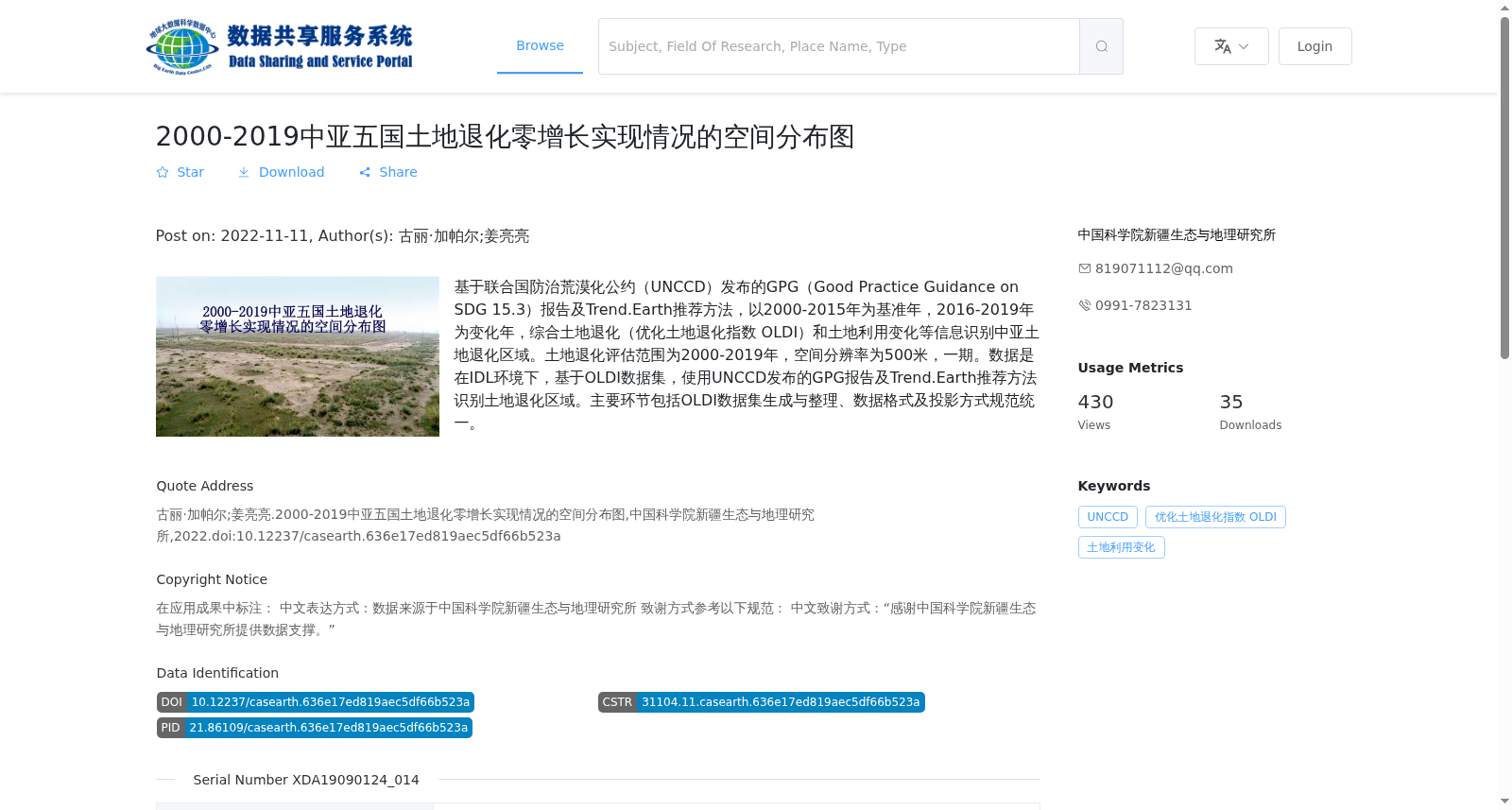
基于联合国防治荒漠化公约(UNCCD)发布的GPG(Good Practice Guidance on SDG 15.3)报告及Trend.Earth推荐方法,以2000-2015年为基准年,2016-2019年为变化年,综合土地退化(优化土地退化指数 OLDI)和土地利用变化等信息识别中亚土地退化区域。土地退化评估范围为2000-2019年,空间分辨率为500米,一期。数据是在IDL环境下,基于OLDI数据集,使用UNCCD发布的GPG报告及Trend.Earth推荐方法识别土地退化区域。主要环节包括OLDI数据集生成与整理、数据格式及投影方式规范统一。
Based on the Good Practice Guidance on SDG 15.3 (GPG) report released by the United Nations Convention to Combat Desertification (UNCCD) and the recommended methods of Trend.Earth, taking 2000–2015 as the baseline period and 2016–2019 as the change period, land degradation regions in Central Asia were identified by integrating information including land degradation (Optimized Land Degradation Index, OLDI) and land use change. The land degradation assessment spans the period 2000–2019, with a spatial resolution of 500 meters, Phase I. The data were generated by identifying land degradation areas based on the OLDI dataset, using the GPG report released by UNCCD and the recommended methods of Trend.Earth in the IDL (Interactive Data Language) environment. The core procedures include the generation and organization of the OLDI dataset, as well as the standardization of data formats and projection methods.
提供机构:
中国科学院新疆生态与地理研究所
搜集汇总
数据集介绍
背景与挑战
背景概述
该数据集基于联合国防治荒漠化公约(UNCCD)的GPG报告和Trend.Earth推荐方法,评估了2000-2019年中亚五国土地退化零增长实现情况,通过优化土地退化指数(OLDI)和土地利用变化信息识别退化区域。数据以500米空间分辨率的栅格格式(GeoTiff)呈现,覆盖基准年2000-2015年和变化年2016-2019年,适用于土地退化监测和可持续发展目标研究。
以上内容由遇见数据集搜集并总结生成


