格尔木-那曲、共和-玉树高等级公路沿线10km缓冲区多年冻土温度、稳定性(2005-2015)
收藏资源简介:
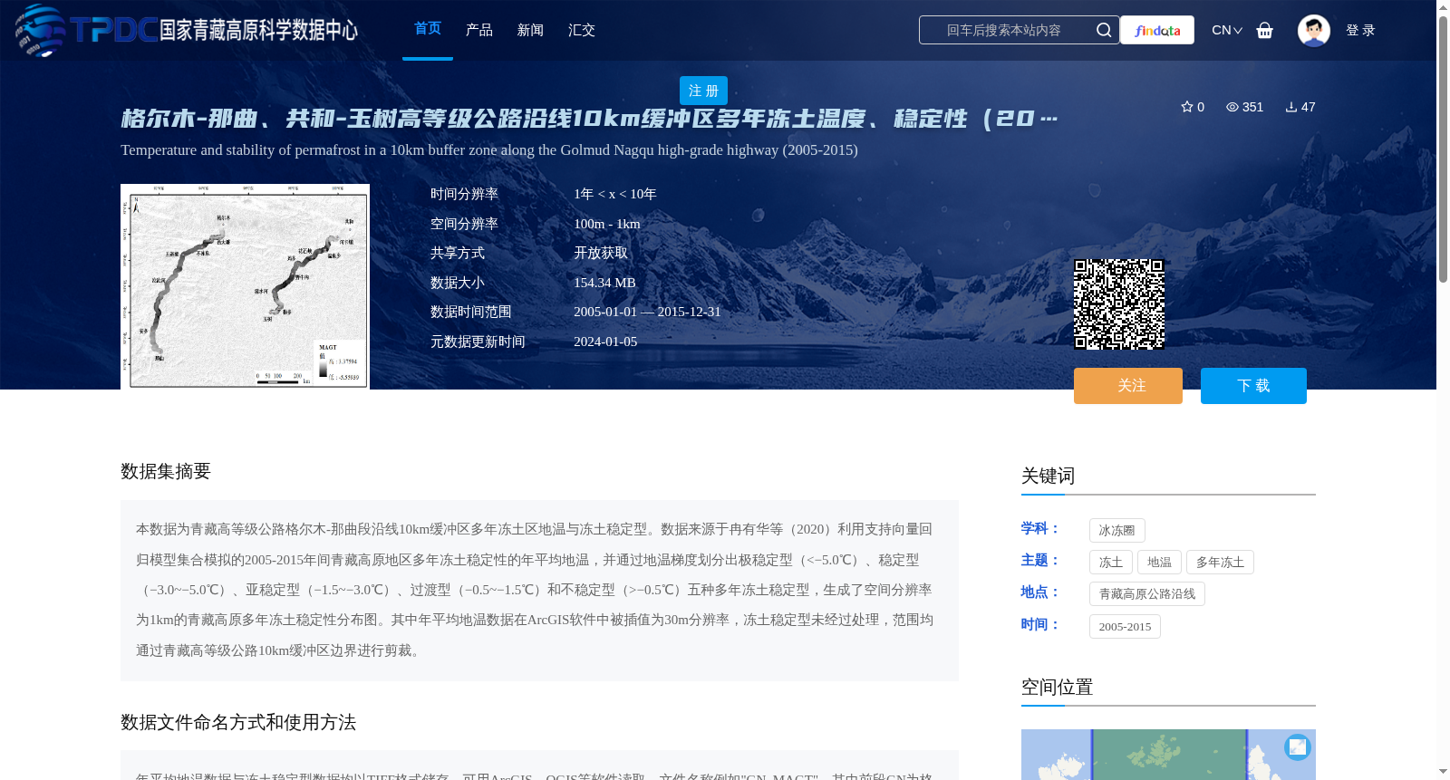
本数据为青藏高等级公路格尔木-那曲段沿线10km缓冲区多年冻土区地温与冻土稳定型。数据来源于冉有华等(2020)利用支持向量回归模型集合模拟的2005-2015年间青藏高原地区多年冻土稳定性的年平均地温,并通过地温梯度划分出极稳定型(<−5.0℃)、稳定型(−3.0~−5.0℃)、亚稳定型(−1.5~−3.0℃)、过渡型(−0.5~−1.5℃)和不稳定型(>−0.5℃)五种多年冻土稳定型,生成了空间分辨率为1km的青藏高原多年冻土稳定性分布图。其中年平均地温数据在ArcGIS软件中被插值为30m分辨率,冻土稳定型未经过处理,范围均通过青藏高等级公路10km缓冲区边界进行剪裁。
This dataset provides ground temperature and permafrost stability classification data for permafrost regions within the 10-kilometer buffer zone along the Golmud-Nagqu section of the Qinghai-Tibet Expressway. The core data originates from the annual mean ground temperature products of permafrost stability across the Qinghai-Tibet Plateau during 2005–2015, which were simulated by Ran Youhua et al. (2020) using ensemble support vector regression models. Five categories of permafrost stability were delineated based on ground temperature gradients: extremely stable (<−5.0℃), stable (−3.0 to −5.0℃), metastable (−1.5 to −3.0℃), transitional (−0.5 to −1.5℃), and unstable (>−0.5℃). A spatial distribution map of permafrost stability over the Qinghai-Tibet Plateau with a spatial resolution of 1 km was produced accordingly. Notably, the annual mean ground temperature data was interpolated to a 30 m resolution using ArcGIS software, while the permafrost stability classification data remained unprocessed. Both datasets were clipped using the boundary of the 10-kilometer buffer zone along the Qinghai-Tibet Expressway.