青藏高原冰川物质平衡(2019-2020)
收藏资源简介:
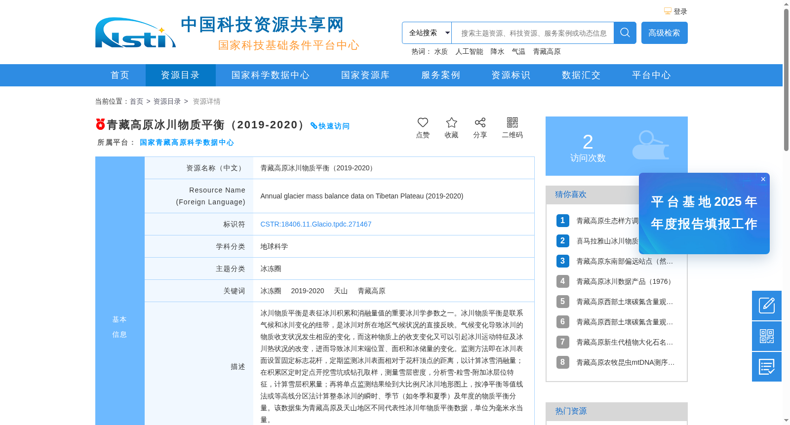
冰川物质平衡是表征冰川积累和消融量值的重要冰川学参数之一。冰川物质平衡是联系气候和冰川变化的纽带,是冰川对所在地区气候状况的直接反映。气候变化导致冰川的物质收支状况发生相应的变化,而这种物质上的收支变化又可以引起冰川运动特征及冰川热状况的改变,进而导致冰川末端位置、面积和冰储量的变化。监测方法即在冰川表面设置固定标志花杆,定期监测冰川表面相对于花杆顶点的距离,以计算冰雪消融量;在积累区定时定点开挖雪坑或钻孔取样,测量雪层密度,分析雪-粒雪-附加冰层位特征,计算雪层积累量;再将单点监测结果绘到大比例尺冰川地形图上,按净平衡等值线法或等高线分区法计算整条冰川的瞬时、季节(如冬季和夏季)及年度的物质平衡分量。该数据集为青藏高原及天山地区不同代表性冰川年物质平衡数据,单位为毫米水当量。
Glacier mass balance is one of the key glaciological parameters characterizing the accumulation and ablation of glaciers. It serves as a link between climate and glacier variations, and is a direct reflection of the climatic conditions of the region where the glacier is located. Climate change induces corresponding changes in the mass budget of glaciers, and such changes in mass budget can in turn alter the movement characteristics and thermal state of glaciers, further leading to variations in glacier terminus position, area and ice storage. The monitoring methods are as follows: install fixed reference stakes on the glacier surface, and regularly measure the distance between the glacier surface and the top of the stakes to calculate ice and snow ablation; excavate snow pits or collect drilling samples at fixed locations and times in the accumulation zone, measure snow layer density, analyze the stratigraphic characteristics of snow, firn and superimposed ice, and calculate snow accumulation. Then, map the single-point monitoring results onto large-scale topographic maps of glaciers, and calculate the instantaneous, seasonal (e.g., winter and summer) and annual mass balance components of the entire glacier using the net balance contour method or contour zoning method. This dataset contains annual mass balance data of different representative glaciers in the Qinghai-Tibet Plateau and the Tianshan Mountains, with the unit of millimeters of water equivalent.