海南岛哨兵一号卫星数据集
收藏地球大数据科学工程2024-03-04 收录
下载链接:
https://data.casearth.cn/sdo/detail/64300fd4819aec0654b40faf
下载链接
链接失效反馈官方服务:
资源简介:
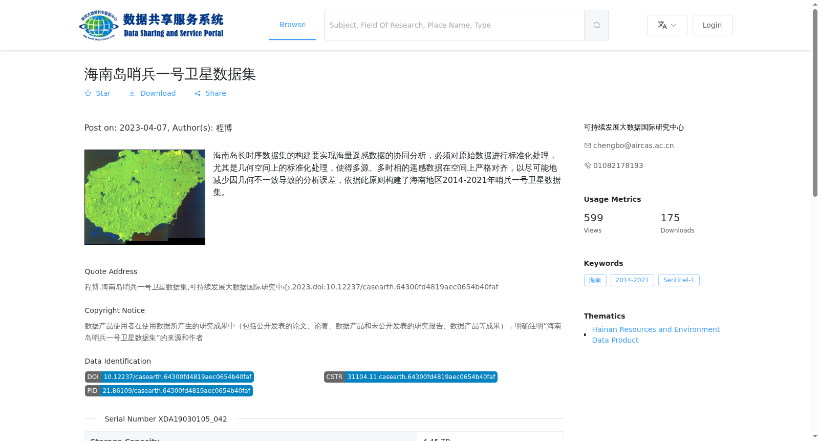
海南岛长时序数据集的构建要实现海量遥感数据的协同分析,必须对原始数据进行标准化处理,尤其是几何空间上的标准化处理,使得多源、多时相的遥感数据在空间上严格对齐,以尽可能地减少因几何不一致导致的分析误差,依据此原则构建了海南地区2014-2021年哨兵一号卫星数据集。
To enable collaborative analysis of massive remote sensing data during the construction of the long-time-series dataset for Hainan Island, standardized processing of raw data is necessary, particularly spatial geometric standardization, to strictly align multi-source and multi-temporal remote sensing data in the spatial dimension and thereby minimize analysis errors caused by geometric inconsistency. Following this principle, the Sentinel-1 satellite dataset for Hainan Island from 2014 to 2021 was constructed.
提供机构:
可持续发展大数据国际研究中心
搜集汇总
数据集介绍
背景与挑战
背景概述
该数据集是海南地区2014-2021年的哨兵一号卫星栅格数据集合,以GeoTiff格式存储,总容量4.45 TB,包含1144个文件。其核心特点是经过标准化处理,旨在实现多时相遥感数据的空间对齐,支持长时序协同分析,以减少几何不一致导致的误差。
以上内容由遇见数据集搜集并总结生成


