黄河流域500 m分辨率逐年植被水利用效率数据集(2000-2020年)
收藏资源简介:
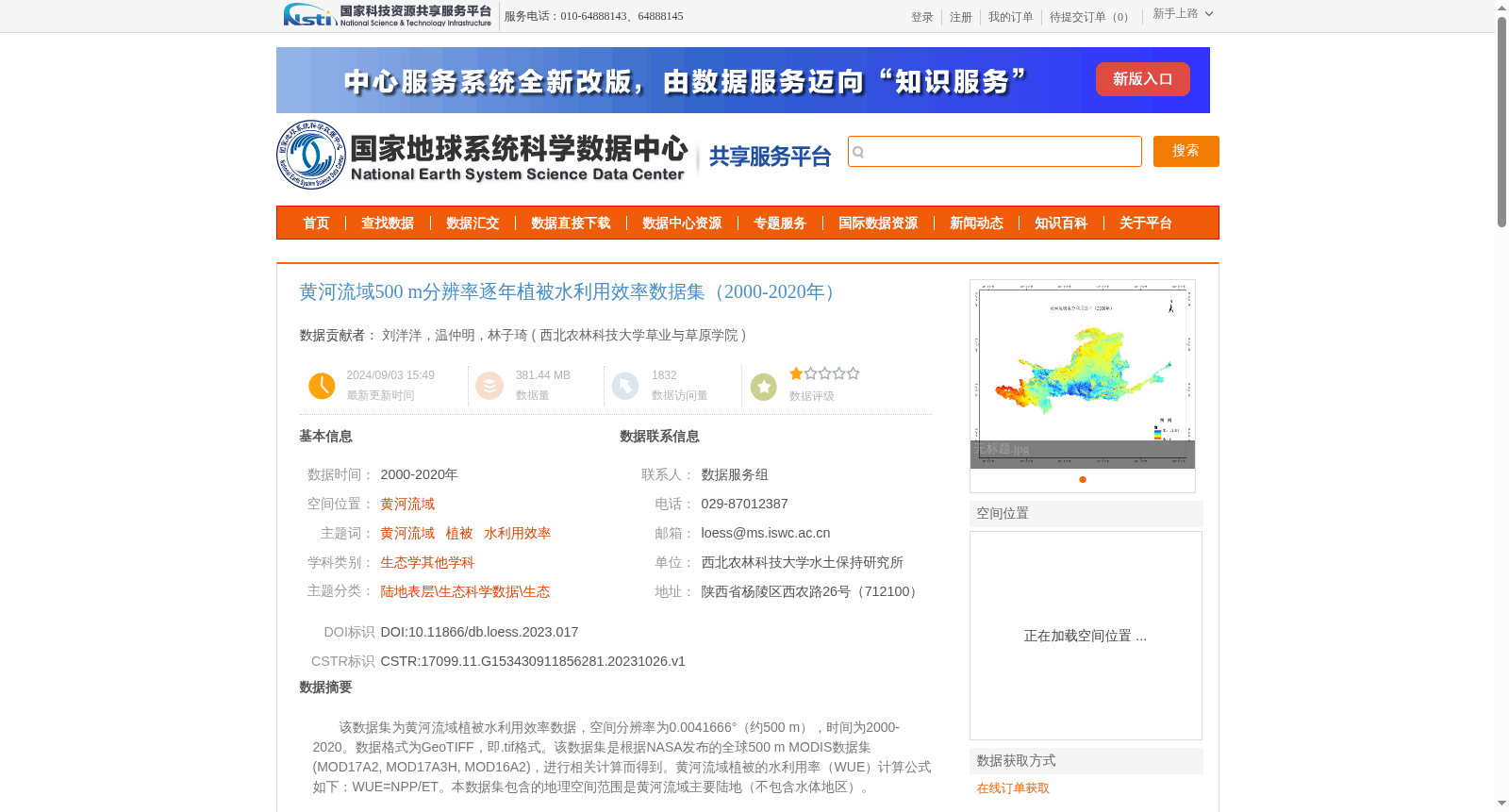
该数据集为黄河流域植被水利用效率数据,空间分辨率为0.0041666°(约500 m),时间为2000-2020。数据格式为GeoTIFF,即.tif格式。该数据集是根据NASA发布的全球500 m MODIS数据集(MOD17A2, MOD17A3H, MOD16A2),进行相关计算而得到。黄河流域植被的水利用率(WUE)计算公式如下:WUE=NPP/ET。本数据集包含的地理空间范围是黄河流域主要陆地(不包含水体地区)。
This dataset contains vegetation water use efficiency (WUE) data for the Yellow River Basin. It has a spatial resolution of 0.0041666° (approximately 500 meters), with a temporal coverage from 2000 to 2020. The data is stored in GeoTIFF format (i.e., .tif format). This dataset was generated through relevant calculations based on the global 500-meter MODIS datasets (MOD17A2, MOD17A3H, MOD16A2) released by NASA. The vegetation water use efficiency (WUE) of the Yellow River Basin is calculated using the formula: WUE = NPP / ET. The geospatial scope of this dataset covers the main terrestrial areas of the Yellow River Basin, excluding water bodies.