
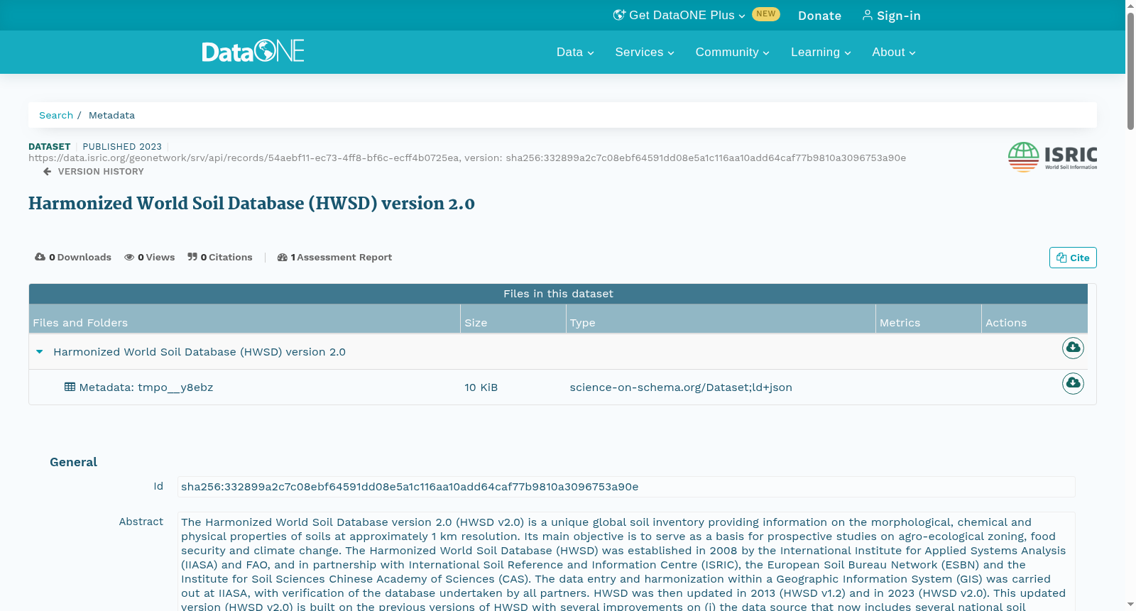
Harmonized World Soil Database (HWSD) version 2.0
收藏DataONE2025-04-10 更新2025-04-26 收录
下载链接:
https://search.dataone.org/view/sha256:332899a2c7c08ebf64591dd08e5a1c116aa10add64caf77b9810a3096753a90e
下载链接
链接失效反馈官方服务:
资源简介:
The Harmonized World Soil Database version 2.0 (HWSD v2.0) is a unique global soil inventory providing information on the morphological, chemical and physical properties of soils at approximately 1 km resolution. Its main objective is to serve as a basis for prospective studies on agro-ecological zoning, food security and climate change. The Harmonized World Soil Database (HWSD) was established in 2008 by the International Institute for Applied Systems Analysis (IIASA) and FAO, and in partnership with International Soil Reference and Information Centre (ISRIC), the European Soil Bureau Network (ESBN) and the Institute for Soil Sciences Chinese Academy of Sciences (CAS). The data entry and harmonization within a Geographic Information System (GIS) was carried out at IIASA, with verification of the database undertaken by all partners. HWSD was then updated in 2013 (HWSD v1.2) and in 2023 (HWSD v2.0). This updated version (HWSD v2.0) is built on the previous versions of HWSD with several improvements on (i) the data source that now includes several national soil databases, (ii) an enhanced number of soil attributes available for seven soil depth layers, instead of two in HWSD v1.2, and (iii) a common soil reference for all soil units (FAO1990 and the World Reference Base for Soil Resources). This contributes to a further harmonization of the database. The GIS raster image file is linked to the soil attribute database. The HWSD v2.0 soil attribute database provides information on the soil unit composition for each of the near 30 000 soil association mapping units. The HWSD v2.0 Viewer, provided with the database, creates this link automatically and provides direct access to the soil attribute data and the soil association information. Note: - A tutorial for accessing HWSD ver. 2.0 using R (prepared by David Rossiter, June 2023) has been added as an 'associated resource' (NOTE: Needs the SQLite version of HWSD v2 as provided below). - Soil property estimates in HWSDv2 were derived from Batjes (2016), Geoderma (https://doi.org/10.1016/j.geoderma.2016.01.034).
世界土壤协调数据库2.0版(Harmonized World Soil Database version 2.0,HWSD v2.0)是独一无二的全球土壤普查数据集,以约1公里的空间分辨率提供土壤的形态、化学与物理属性信息。其核心宗旨是为农业生态分区、粮食安全及气候变化领域的前瞻性研究提供基础支撑。
世界土壤协调数据库(Harmonized World Soil Database,HWSD)最初于2008年由国际应用系统分析研究所(International Institute for Applied Systems Analysis,IIASA)与联合国粮食及农业组织(Food and Agriculture Organization,FAO)联合发起构建,并携手国际土壤参考与信息中心(International Soil Reference and Information Centre,ISRIC)、欧洲土壤局网络(European Soil Bureau Network,ESBN)以及中国科学院土壤研究所(Institute for Soil Sciences, Chinese Academy of Sciences,CAS)共同完成。
地理信息系统(Geographic Information System,GIS)框架下的数据录入与协调工作由IIASA主导完成,所有合作方共同参与了数据库的验证工作。HWSD先后于2013年更新至1.2版(HWSD v1.2),并于2023年更新至2.0版(HWSD v2.0)。
本次发布的HWSD v2.0版基于既往版本开发,在三方面实现了显著优化:其一,扩充了数据源范围,新增了多个国家的土壤数据库;其二,土壤属性维度得到大幅提升,可提供7个土壤深度层的相关数据,而非HWSD v1.2版的2个;其三,为所有土壤单元统一了分类标准(采用FAO1990分类体系与世界土壤资源参比基础),进一步推进了数据库的协调性建设。
该数据集的GIS栅格影像文件与土壤属性数据库建立了关联。HWSD v2.0土壤属性数据库可为近3万个土壤组合制图单元分别提供土壤单元组成信息。配套发布的HWSD v2.0浏览器可自动建立二者的关联,并支持直接访问土壤属性数据与土壤组合相关信息。
备注:
- 新增了一份由David Rossiter于2023年6月编写的、基于R语言访问HWSD 2.0版的教程,作为"关联资源"(注:需使用下文提供的HWSD v2.0 SQLite版本数据集)。
- HWSD v2.0中的土壤属性估算值源自Batjes (2016)发表于《Geoderma》的研究(https://doi.org/10.1016/j.geoderma.2016.01.034)。
创建时间:
2025-04-10
搜集汇总
数据集介绍
以上内容由遇见数据集搜集并总结生成



