黑河流域30弧秒分辨率月尺度地表水及地下水灌溉量数据集(1981-2013)
收藏国家青藏高原科学数据中心2021-04-19 更新2024-03-06 收录
下载链接:
https://data.tpdc.ac.cn/zh-hans/data/66322216-b99a-4c54-a130-a0c3ef0ed972
下载链接
链接失效反馈官方服务:
资源简介:
农业灌溉占人类用水量的80%左右, 是人类水资源管理中最主要的一环,与人类生存和发展息息相关。灌溉也是水循环中重要的一环,大规模灌溉会通过影响蒸散发从而影响水循环,甚至影响局地的气候。灌溉引水取水过度会导致水资源不可持续利用,同时,会减少河道流量和含水层水储量从而危害生态环境。
因此,确定空间和时间上灌溉量的分布和变化,对于研究过去人类水资源利用情况,灌溉对于生态水文过程,环境和气候的影响,以及制定未来灌溉计划至关重要。
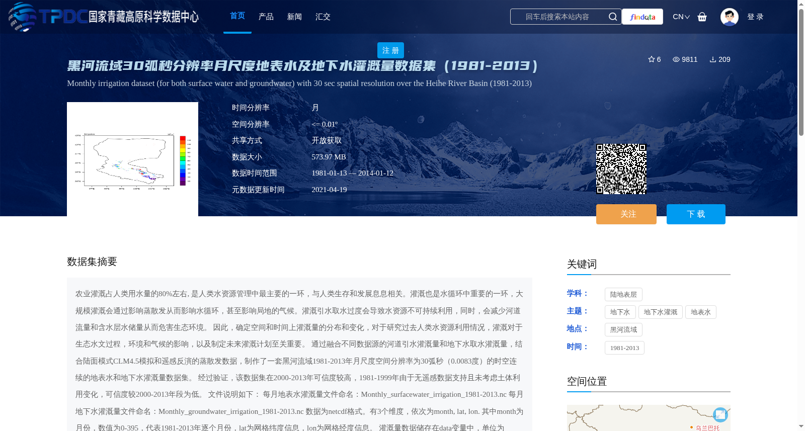
通过融合不同数据源的河道引水灌溉量和地下水取水灌溉量,结合陆面模式CLM4.5模拟和遥感反演的蒸散发数据,制作了一套黑河流域1981-2013年月尺度空间分辨率为30弧秒(0.0083度)的时空连续的地表水和地下水灌溉量数据集。
经过验证,该数据集在2000-2013年可信度较高,1981-1999年由于无遥感数据支持且未考虑土体利用变化,可信度较2000-2013年段为低。
文件说明如下:
每月地表水灌溉量文件命名:Monthly_surfacewater_irrigation_1981-2013.nc
每月地下水灌溉量文件命名:Monthly_groundwater_irrigation_1981-2013.nc
数据为netcdf格式。有3个维度,依次为month, lat, lon.
其中month为月份,数值为0-395,代表1981-2013年逐个月份,lat为网格纬度信息,lon为网格经度信息。
灌溉量数据储存在data变量中,单位为m^3/month
为了方便使用,还提供对应的网格面积数据Heihe_area_size.nc,面积数据储存于该文件data变量中,单位为m^2
Agricultural irrigation accounts for approximately 80% of global human water consumption, representing the most critical component of human water resource management and closely tied to human survival and development. Irrigation also plays an important role in the water cycle; large-scale irrigation can alter the water cycle by affecting evapotranspiration, and even impact local climate. Excessive water diversion and abstraction for irrigation will lead to unsustainable utilization of water resources, while reducing river discharge and aquifer water reserves, thereby harming the ecological environment.
Therefore, determining the spatial and temporal distribution and variation of irrigation volumes is crucial for studying past human water resource utilization, the impacts of irrigation on eco-hydrological processes, the environment and climate, as well as formulating future irrigation plans.
By integrating surface water and groundwater irrigation volumes from different data sources, combined with evapotranspiration data simulated by the land surface model CLM4.5 and retrieved from remote sensing, we developed a set of spatially and temporally continuous monthly surface water and groundwater irrigation volume datasets for the Heihe River Basin from 1981 to 2013, with a spatial resolution of 30 arc-seconds (0.0083 degrees).
After validation, this dataset shows high reliability during the period 2000–2013. For the period 1981–1999, the reliability is lower than that of 2000–2013 due to the lack of remote sensing data support and the failure to consider land use changes.
File descriptions are as follows:
The monthly surface water irrigation volume file is named: Monthly_surfacewater_irrigation_1981-2013.nc
The monthly groundwater irrigation volume file is named: Monthly_groundwater_irrigation_1981-2013.nc
The data is stored in netCDF format, with three dimensions in order: month, lat (latitude), and lon (longitude).
Among them, the 'month' dimension represents individual months from 1981 to 2013, with values ranging from 0 to 395; 'lat' refers to the grid latitude information, and 'lon' refers to the grid longitude information.
The irrigation volume data is stored in the 'data' variable, with the unit of m^3/month.
For the convenience of use, the corresponding grid area data file Heihe_area_size.nc is also provided. The area data is stored in the 'data' variable of this file, with the unit of m^2.
提供机构:
谢正辉
创建时间:
2016-01-25
搜集汇总
数据集介绍
背景与挑战
背景概述
该数据集提供了黑河流域1981年至2013年月尺度、30弧秒分辨率的地表水和地下水灌溉量数据,通过融合多源数据并结合CLM4.5模拟和遥感反演蒸散发制作而成,具有时空连续性。数据验证表明,2000-2013年段可信度较高,而1981-1999年段由于缺乏遥感数据支持且未考虑土地利用变化,可信度相对较低,适用于水资源管理、生态水文和气候影响研究。
以上内容由遇见数据集搜集并总结生成


