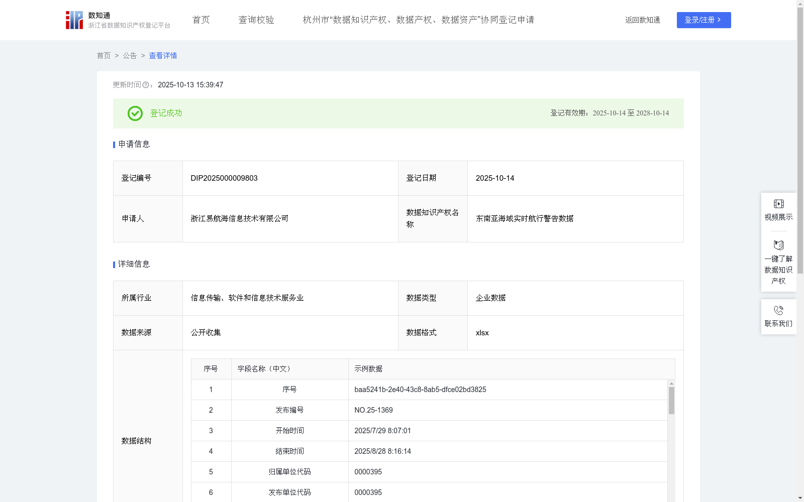
东南亚海域实时航行警告数据
收藏浙江省数据知识产权登记平台2025-10-13 更新2025-10-14 收录
下载链接:
https://www.zjip.org.cn/home/announce/trends/1761569
下载链接
链接失效反馈官方服务:
资源简介:
东南亚海域航行警告数据集成了该区域由国际海事机构公布的军事演习、海底电缆/管道铺设、航道疏浚、海上平台作业、交通管制、碍航物、海盗等关键安全信息。通过将这些数据可视化,可在电子海图上以醒目的多边形图形清晰标注航行警告区域的精确范围。用户可直接在电子海图上点击这些可视化区域,快速查看航行警告的详细内容(如类型、有效期等);或通过便捷的查询功能,根据位置、关键词、时间范围等条件搜索特定的航行警告信息,助力船舶在复杂繁忙的东南亚海域安全高效航行。数据采集:数据专员负责通过国际海事组织、日本海事厅等权威渠道,监控并获取其发布的公开公告,从中提取航行警告内容和对应的地理位置信息,确保原始数据的完整性和时效性。
数据处理:数据专员对采集到的原始地理位置数据进行可视化预处理,将数据标准化存储为 WKT 格式。WKT 格式由两部分组成,一部分描述空间几何对象的类型和坐标系信息(例:LINESTRING (x1 y1, x2 y2, ..., xn yn)),另一部分则是空间几何对象的坐标点的序列。数据专员需核对 WKT 格式转换的准确性,确保几何类型描述与坐标序列匹配。系统通过坐标类型的枚举匹配识别出当前 WKT 的对象类型(几何位置类型点 1、线 2、面 3、多点 4、多线为 5、多面为 6)后,数据专员根据对象类型对空间信息进行二次核验与处理,针对点、线、面、多线、多面等不同情况,整理生成规范的经纬度列表数据。随后,数据专员按照数据类型,将经纬度列表及相关属性信息(如警告时效时间范围、内容说明等)准确存储至数据后台,并在我司后台系统中执行点位绘制操作,确保绘制的几何图形精准同步到电子海图中,完成数据可视化呈现的最终校验。
This Navigational Warning Dataset for Southeast Asia Waters integrates critical safety-related information such as military exercises, submarine cable/pipeline laying, channel dredging, offshore platform operations, traffic control, navigation hazards, and piracy, which are published by international maritime authorities in this region.
By visualizing this data, the precise scope of navigational warning areas can be clearly marked with prominent polygonal graphics on Electronic Navigational Charts (ENC). Users can directly click these visualized areas on the ENCs to quickly obtain detailed information of navigational warnings, including warning type, validity period and other relevant details. Additionally, they can use the user-friendly query function to search for specific navigational warnings based on criteria such as location, keywords, and time range, which supports safe and efficient navigation for vessels in the complex and busy Southeast Asia waters.
Data Collection: Data specialists are responsible for monitoring and acquiring public announcements released by authoritative sources including the International Maritime Organization (IMO) and the Japan Coast Guard, extracting the content of navigational warnings and corresponding geographic location information from these announcements to ensure the integrity and timeliness of the original data.
Data Processing: Data specialists perform visual preprocessing on the collected original geographic location data, and standardize and store the data in Well-Known Text (WKT) format. The WKT format consists of two parts: one part describes the type of spatial geometric object and coordinate system information (e.g., LINESTRING (x1 y1, x2 y2, ..., xn yn)), and the other part is the sequence of coordinate points of the spatial geometric object. Data specialists need to verify the accuracy of WKT format conversion, ensuring that the geometric type description matches the coordinate sequence. After the system identifies the object type of the current WKT via enumeration matching of coordinate types (geographic location types: point 1, line 2, polygon 3, multi-point 4, multi-line 5, multi-polygon 6), the data specialists conduct secondary verification and processing on the spatial information based on the identified object type, and generate standardized longitude-latitude list data for different scenarios including points, lines, polygons, multi-lines, and multi-polygons. Subsequently, data specialists accurately store the longitude-latitude list and related attribute information (such as warning validity time range, content description and other details) into the data backend according to the data type, perform geometric shape plotting operations in our company's backend system, ensure that the plotted geometric shapes are accurately synchronized to the ENCs, and complete the final verification of data visualization presentation.
提供机构:
浙江易航海信息技术有限公司
创建时间:
2025-06-30
搜集汇总
数据集介绍
背景与挑战
背景概述
该数据集包含671条东南亚海域实时航行警告信息,每日更新,涵盖军事演习、航道作业等安全事件。数据以xlsx格式存储,包含发布时间、地理范围和详细内容等字段,通过标准化处理实现电子海图可视化,主要用于提升船舶航行安全效率。
以上内容由遇见数据集搜集并总结生成


