
<i>Diospyros crassiflora</i> tree diameter, spatial distribution and genetic diversity
收藏DataCite Commons2025-08-27 更新2025-09-08 收录
下载链接:
https://figshare.com/articles/dataset/_i_Diospyros_crassiflora_i_tree_diameter_spatial_distribution_and_genetic_diversity/25234375/1
下载链接
链接失效反馈官方服务:
资源简介:
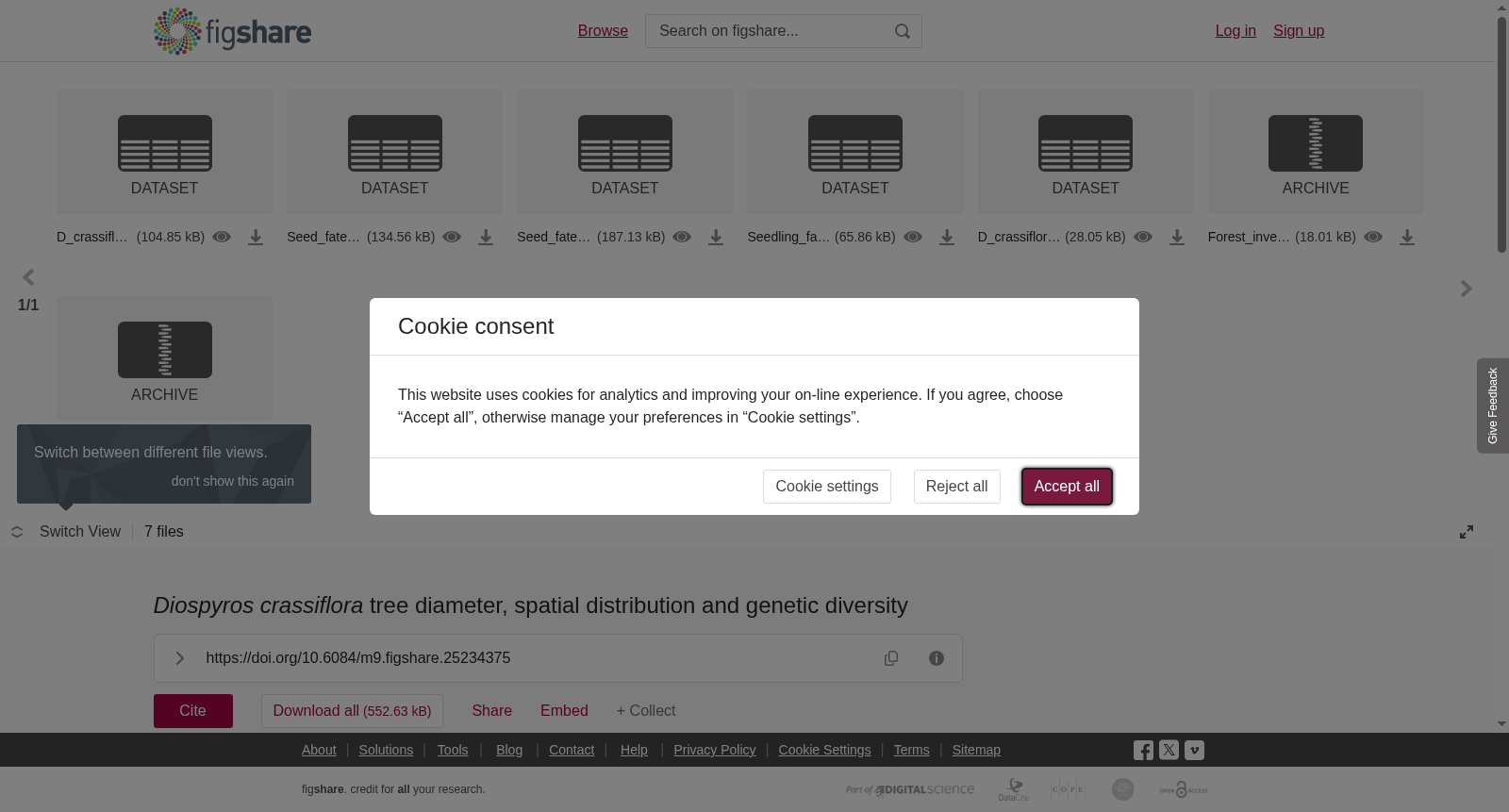
This dataset contains information on the spatial distribution, stem diameter, flowering status, genetic diversity and native range of ebony trees (<i>Diospyros crassiflora</i> Hiern). The first six datasets are based on observations from four forest plots in Cameroon.1. <b>D_crassiflora_forest_inventory_relUTM.csv</b>: This file lists individual ebony trees recorded across four forest inventory plots (Plots A–D). The table includes the following columns: tree_ID (a unique identifier for each tree), relative UTM coordinates (meters in X and Y directions, datum WGS84), dbh (diameter at breast height in cm), and flower (coded as 1 if flowers were observed in at least one inventory, and 0 if no flowers were observed). UTM zones 33N and 32N were used for trees in plots A, B, C and trees in plot D, respectively.2. <b>Forest_inventory_shape_relUTM</b>: This archive contains one polygon shapefile per plot, delineating areas suitable for ebony growth (excluding swamps, large rivers, bare rock, and farmland). All shapefiles are projected in the same relative UTM coordinates as above. 3. <b>D_crassiflora_SSR.csv</b>: This file contains microsatellite genotypes for ebony trees and seeds sampled in and around Plots A and B (low hunting pressure) and Plot C (high hunting pressure). The dataset includes genotypes at 17 microsatellite loci, with two alleles per locus. Allelic values represent the sizes of PCR amplicons of microsatellite alleles in base pairs. The column child_of indicates the ID of the mother tree under which each seed was collected. Missing data are denoted as ‘NA’. This dataset can be used to assess spatial genetic structure and conduct parentage analyses.4. <b>Seed_fate_vs_density&distance.csv</b>: Ebony seeds were experimentally deposited in groups around adult reference trees at predefined densities (2 or 25 seeds) and distances (2 or 50 meters). This file records the fate of each seed after two months. Seed fate is categorized using binary indicators (1) for one of the following discrete outcomes: germinated (first pair of leaves fully deployed), ungerminated (no sign of germination or germination interrupted), or removed (seed absent).5. <b>Seedling_fate_vs_density&distance.csv</b>: Ebony seedlings were planted under the same density and distance treatments described above. The file reports the fate of each seedling after two years, using binary indicators (1) for the following outcomes: survived (seedling alive) or died (seedling removed by predators or dead).6. <b>Seed_fate_vs_post_dispersal.csv</b>: This dataset reports the outcomes of a post-dispersal seed fate experiment. Each Ebony seed was subjected to one of three treatments: placed on the ground (Ground), inserted into reconstituted elephant dung (Dung), or left into an ebony fruit (Fruit). Treatments were replicated within experimental groups defined by geographic coordinates (decimal degrees, datum WGS84) and were implemented both within and outside of exclusion cages (cage = 1 or 0). The experiment was conducted over two consecutive years; in the second year, a fourth treatment was added, using ebony seeds retrieved from elephant dung and reinserted into dung within exclusion cages. Seed fate was recorded with binary indicators (1) for the following outcomes: first pair of leaves fully deployed (germinated), seed with no sign of germination or germination interrupted (ungerminated) or seed absent (removed).7. <b>D_</b><b>crassiflora_range.zip</b><b>:</b> This file contains a polygon shapefile representing the geographic distribution range of Diospyros crassiflora. Source of the data: https://doi.org/10.5281/zenodo.4084977Note. To protect the locations of exploitable trees, we distribute relative rather than absolute coordinates. Original WGS84 latitude/longitude were converted to UTM in the appropriate zone (32N or 33N; meters). Within each zone, we subtracted that zone’s minimum Easting (X) and Northing (Y) from all points (and plot polygons), yielding local X, Y offsets with origin at the south-west–most point of the zone’s dataset. This preserves all within-zone distances, shapes, and spatial statistics. Researchers who require the absolute coordinates may contact Vincent Deblauwe (corresponding author) with a brief explanation of the research purpose and intended data use.The methodologies used to generate these datasets are detailed in the Methods section of the associated publication in Science Advances.
本数据集涵盖厚瓣乌木(*Diospyros crassiflora* Hiern)的空间分布格局、茎干直径、开花状态、遗传多样性及原生分布范围等相关信息。前六个数据集均基于喀麦隆境内4个森林样地的观测数据构建。
1. **D_crassiflora_forest_inventory_relUTM.csv**:该文件收录了4个森林样地(样地A至D)内记录的所有单株厚瓣乌木。表格字段包括:tree_ID(每棵树木的唯一标识符)、相对通用横轴墨卡托(Universal Transverse Mercator, UTM)坐标(X、Y方向的米制数值,基准面为WGS84)、dbh(胸高直径,单位为厘米)以及开花状态编码(编码1代表至少1次调查中观测到开花,编码0代表未观测到开花)。其中样地A、B、C内的树木采用UTM 33N投影带,样地D内的树木采用UTM 32N投影带。
2. **Forest_inventory_shape_relUTM**:该压缩包包含每个样地对应的多边形矢量shapefile,用于圈定厚瓣乌木的适宜生境范围(排除沼泽、大型河流、裸岩及农田区域)。所有矢量文件均采用与前述一致的相对UTM坐标投影。
3. **D_crassiflora_SSR.csv**:该文件包含在样地A、B(低狩猎压力区域)及其周边,以及样地C(高狩猎压力区域)中采集的厚瓣乌木植株与种子的微卫星基因型数据。数据集涵盖17个微卫星位点的基因型信息,每个位点包含2个等位基因。等位基因值以碱基对(bp)为单位,代表对应微卫星等位基因的PCR扩增产物片段大小。字段child_of用于标注每粒种子采集时所在母树的ID。缺失数据以“NA”标识。本数据集可用于评估种群空间遗传结构及开展亲权分析。
4. **Seed_fate_vs_density&distance.csv**:研究人员将厚瓣乌木种子以预设密度(2粒或25粒)和距离(2米或50米)分组播撒于成年参考树周围。该文件记录了播撒2个月后每粒种子的命运结局。种子状态通过二元指标(1)对应以下离散分类:萌发(第一对叶片完全展开)、未萌发(无萌发迹象或萌发过程中断)以及被移走(种子缺失)。
5. **Seedling_fate_vs_density&distance.csv**:本研究采用与前述一致的密度和距离处理方案种植厚瓣乌木幼苗,该文件记录了种植2年后每株幼苗的存活状态,二元指标(1)对应以下结局:存活(幼苗仍保持生机)或死亡(幼苗被捕食者移除或自然死亡)。
6. **Seed_fate_vs_post_dispersal.csv**:本数据集记录了播后种子命运实验的结果。每粒厚瓣乌木种子接受以下三种处理之一:直接播撒于地表(Ground)、嵌入重构的大象粪便中(Dung)、保留于厚瓣乌木果实内(Fruit)。处理组按照地理坐标(十进制度,基准面WGS84)设置重复,并分别在排除笼内和笼外开展实验(cage=1代表笼内处理,cage=0代表笼外处理)。实验连续开展2年,第二年新增第四种处理:将从大象粪便中回收的厚瓣乌木种子重新嵌入粪便,并放置于排除笼内。种子状态通过二元指标(1)对应以下结局:第一对叶片完全展开(萌发)、无萌发迹象或萌发过程中断(未萌发)以及种子缺失(被移走)。
7. **D_crassiflora_range.zip**:该文件包含代表厚瓣乌木地理分布范围的多边形矢量shapefile。数据来源:https://doi.org/10.5281/zenodo.4084977
### 备注
为保护可采伐乌木的真实位置信息,本数据集仅提供相对坐标而非绝对坐标。原始WGS84经纬度坐标被转换至对应UTM投影带(32N或33N,单位为米)。在每个投影带内,我们将所有点位(及样地多边形)减去该投影带的最小东向(X)和北向(Y)坐标,从而得到以该投影带数据集西南最远端为原点的局部X、Y偏移量。该处理方式完整保留了投影带内的所有距离、形状及空间统计特征。需要获取原始绝对坐标的研究人员可联系通讯作者Vincent Deblauwe,并简要说明研究目的与数据用途。
本数据集的生成方法详见发表于《Science Advances》的相关论文的方法部分。
提供机构:
figshare创建时间:
2025-08-27
搜集汇总
数据集介绍
背景与挑战
背景概述
该数据集聚焦于乌木(Diospyros crassiflora)的生态与遗传特征,包含树木直径、空间分布、开花状态、微卫星基因型以及种子和幼苗命运实验等多维度数据,主要基于喀麦隆四个森林样地的观测。数据集采用相对坐标保护树木位置,适用于森林生态学、遗传多样性和物种保护研究,支持空间分析、亲本分析和森林再生评估。
以上内容由遇见数据集搜集并总结生成

暂无相关数据集


