深圳市分阶段人口转移空间分布数据(2022)
收藏国家青藏高原科学数据中心2023-03-27 更新2024-03-01 收录
下载链接:
https://data.tpdc.ac.cn/zh-hans/data/79bc8035-2c16-4d6f-8437-f0c6628d7b54
下载链接
链接失效反馈官方服务:
资源简介:
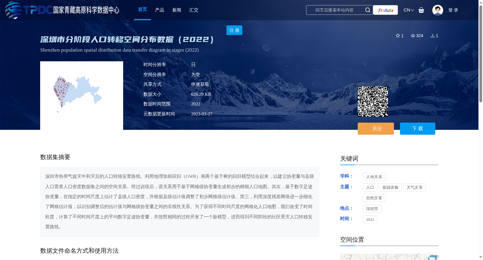
深圳市热带气旋灾中和灾后的人口转移安置路线。利用地理加权回归(GWR)将两个基于树的回归模型结合起来,以建立协变量与县级人口普查人口密度数据集之间的空间关系。经过训练后,该关系用于基于网格级协变量生成初步的精细人口地图。其次,基于数字足迹协变量,在指定的时间尺度上估计了县级人口密度,并根据县级估计值调整了初步网格级估计值。第三,利用深度残差网络进一步细化了网格估计值,以识别调整后的估计值与网格级协变量之间的非线性关系。为了获得不同时间尺度的网格化人口地图,我们改变了时间粒度,计算了不同时间尺度上的平均数字足迹协变量,并按照相同的过程开发了一个新模型,进而得到不同阶段的社区受灾人口转移安置路线。
Population transfer and resettlement routes during and after tropical cyclone disasters in Shenzhen. We combined two tree-based regression models using Geographically Weighted Regression (GWR) to establish the spatial relationship between covariates and county-level census population density datasets. After training, this established relationship was used to generate preliminary fine-grained population maps based on grid-level covariates. Secondly, county-level population densities were estimated at specified time scales based on digital footprint covariates, and the preliminary grid-level estimates were adjusted according to the county-level estimation results. Thirdly, Deep Residual Networks (ResNet) were used to further refine the grid-level estimates to identify the nonlinear relationships between the adjusted estimates and grid-level covariates. To obtain gridded population maps at different time scales, we adjusted the time granularity, calculated the average digital footprint covariates across various time scales, and developed a new model following the same procedure, thereby deriving population transfer and resettlement routes for disaster-affected communities at different stages.
提供机构:
杜云艳
创建时间:
2023-03-25
搜集汇总
数据集介绍
背景与挑战
背景概述
该数据集提供了2022年深圳市热带气旋灾中和灾后的人口转移安置路线空间分布信息,基于地理加权回归和深度残差网络等技术生成精细人口地图。数据以申请获取方式共享,大小为626.29 KB,适用于人口、自然灾害和基础设施等相关研究。
以上内容由遇见数据集搜集并总结生成


