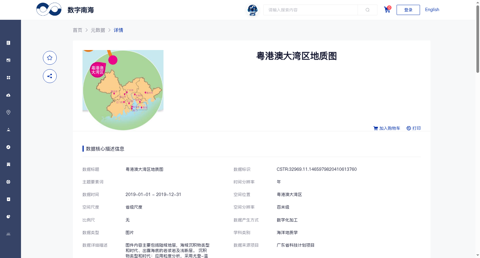
粤港澳大湾区地质图
收藏南海海洋数据中心2024-03-01 收录
下载链接:
https://data.scsio.ac.cn/metaData-detail/1465979820410613760
下载链接
链接失效反馈官方服务:
资源简介:
图件内容主要包括陆域地层,海域沉积物类型和时代、出露海底的岩浆岩及浅断层。 沉积物类型和时代:应用粒度分析,采用尤登-温德华氏等比制粒级标准将沉积物粒度分为四个级别:①>2mm(<-1Φ)为砾级,②2~0.063mm(-1~4Φ)为砂级,③0.063~0.004mm(4~8Φ)为粉砂级,④<0.004mm(>8Φ)为粘土级,并采用Folk等分类方案对沉积物进行分类。采用14C测年等实验测试数据划分表层沉积物类型并确定其时代。用颜色和花纹表示沉积物类型,用代号表示沉积物年代。 第四系沉积厚度等值线:应用深海钻探184航次1143站位所钻遇的第四系底界和过井地震剖面,对比解释本区的单道和多道地震资料,勾绘第四系厚度等值线。 第四系剖面:应用实测的地震资料编制第四系剖面。 岩浆岩:用颜色及符号表示不同类型和期次的岩浆岩。 浅断层:用红色线条表示所有断至第四纪地层的浅断层。
The map contents mainly include terrestrial strata, marine sediment types and their ages, submarine-exposed magmatic rocks and shallow faults.
Sediment types and ages: Grain size analysis was applied, and the Udden-Wentworth geometric grain size scale was adopted to divide sediment grain sizes into four grades: ① >2 mm (<-1 Φ) is gravel grade; ② 2–0.063 mm (-1 to 4 Φ) is sand grade; ③ 0.063–0.004 mm (4 to 8 Φ) is silt grade; ④ <0.004 mm (>8 Φ) is clay grade. Sediments were classified using the Folk et al. classification scheme. Surface sediment types were identified and their ages were determined using experimental test data such as 14C dating. Sediment types are indicated by colors and patterns, while sediment ages are represented by codes.
Quaternary sediment thickness contour maps: The bottom boundary of the Quaternary system drilled at Site 1143 of Deep Sea Drilling Project (DSDP) Leg 184 and well-tied seismic profiles were used to interpret and correlate single-channel and multi-channel seismic data of this study area, and the Quaternary sediment thickness contour maps were delineated.
Quaternary stratigraphic sections: Quaternary stratigraphic sections were compiled using field-acquired seismic data.
Magmatic rocks: Different types and stages of magmatic rocks are indicated by colors and symbols.
Shallow faults: All shallow faults that cut into Quaternary strata are represented by red lines.
提供机构:
广州海洋地质调查局,广东省地质调查院
搜集汇总
数据集介绍
背景与挑战
背景概述
该数据集为2019年粤港澳大湾区的地质图,包含陆域地层、海域沉积物类型和时代、岩浆岩及浅断层等详细信息,空间分辨率为百米级,由广州海洋地质调查局和广东省地质调查院共同制作,数据质量可靠且完全开放共享。
以上内容由遇见数据集搜集并总结生成


