
江苏省1:10万土地利用数据(2008年)
收藏官方服务:
资源简介:
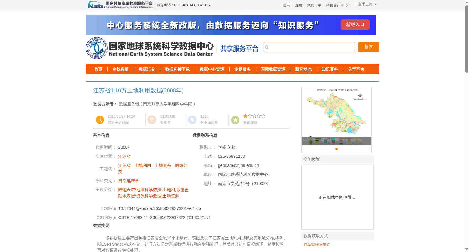
该数据集主要范围包括江苏省全境13个地级市。该图反映了江苏省土地利用现状及其地域分布规律,以ESRI Shape格式存储。处理方法是对遥感数据进行融合增强处理,然后对其进行目视解译、精度检验,再对各幅进行拼接处理。
This dataset covers all 13 prefecture-level cities across Jiangsu Province. The core map of this dataset reflects the current land use status and regional distribution patterns of Jiangsu Province, and is stored in ESRI Shapefile format. The processing steps are as follows: first perform fusion and enhancement processing on remote sensing data, then conduct visual interpretation and accuracy verification on the processed data, and finally perform mosaic stitching on each individual map sheet.
提供机构:
南京师范大学地理科学学院创建时间:
2014-05-21
搜集汇总
数据集介绍
背景与挑战
背景概述
该数据集为2008年江苏省1:10万土地利用数据,覆盖全省13个地级市,以ESRI Shape格式存储,通过遥感数据融合增强和目视解译等方法处理,数据质量满足制图要求,定性准确率较高。
以上内容由遇见数据集搜集并总结生成


