青藏高原及周边地区冰湖数据集(风险评估结果,2018-2022年)
收藏国家青藏高原科学数据中心2024-03-11 更新2024-04-21 收录
下载链接:
https://data.tpdc.ac.cn/zh-hans/data/65663d5f-01bc-4761-a4b5-b0f7c5b54cf9
下载链接
链接失效反馈官方服务:
资源简介:
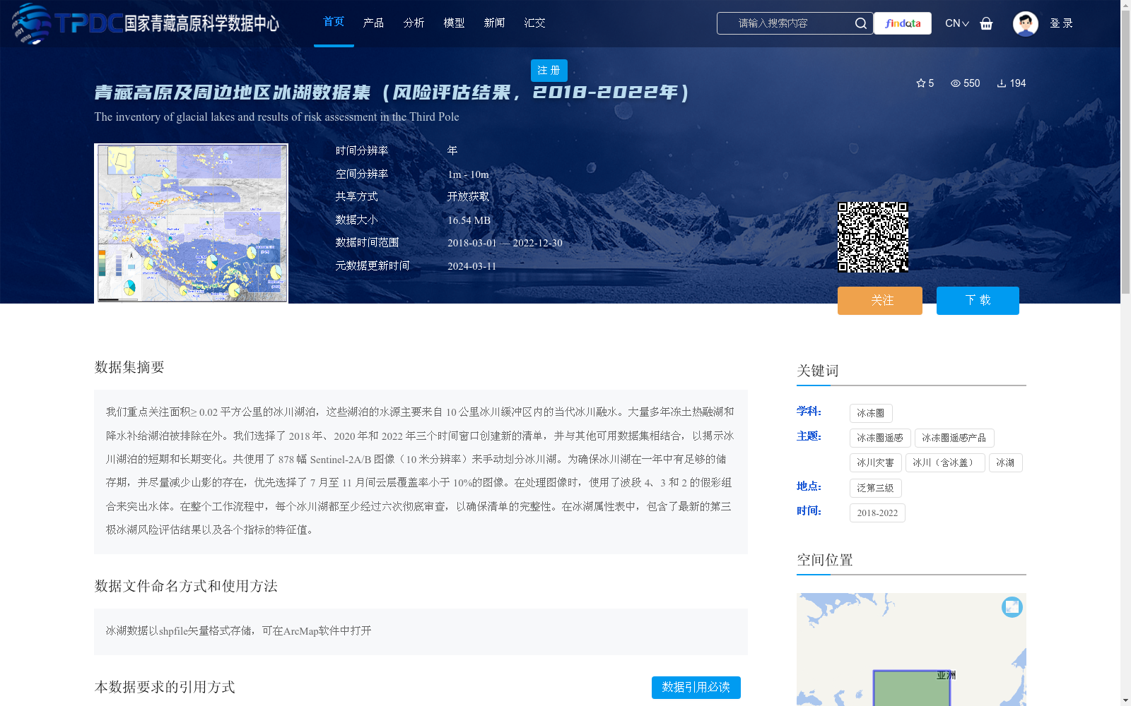
我们重点关注面积≥ 0.02 平方公里的冰川湖泊,这些湖泊的水源主要来自 10 公里冰川缓冲区内的当代冰川融水。大量多年冻土热融湖和降水补给湖泊被排除在外。我们选择了 2018 年、2020 年和 2022 年三个时间窗口创建新的清单,并与其他可用数据集相结合,以揭示冰川湖泊的短期和长期变化。共使用了 878 幅 Sentinel-2A/B 图像(10 米分辨率)来手动划分冰川湖。为确保冰川湖在一年中有足够的储存期,并尽量减少山影的存在,优先选择了 7 月至 11 月间云层覆盖率小于 10%的图像。在处理图像时,使用了波段 4、3 和 2 的假彩组合来突出水体。在整个工作流程中,每个冰川湖都至少经过六次彻底审查,以确保清单的完整性。在冰湖属性表中,包含了最新的第三极冰湖风险评估结果以及各个指标的特征值。
We focus on glacial lakes with an area ≥ 0.02 km², whose water sources mainly originate from contemporary glacial meltwater within a 10 km glacial buffer zone. A large number of thermokarst lakes in permafrost regions and lakes recharged by precipitation are excluded. We selected three time windows in 2018, 2020 and 2022 to create a new inventory, which was combined with other available datasets to reveal short-term and long-term changes of glacial lakes. A total of 878 Sentinel-2A/B images (10 m resolution) were used to manually delineate glacial lakes. To ensure that glacial lakes have sufficient storage duration throughout the year and minimize mountain shadows, images with cloud cover less than 10% from July to November were prioritized. When processing images, a false-color composite of bands 4, 3 and 2 was used to highlight water bodies. Throughout the entire workflow, each glacial lake underwent at least six thorough reviews to ensure the integrity of the inventory. The glacial lake attribute table includes the latest risk assessment results of glacial lakes on the Third Pole and the characteristic values of various indicators.
提供机构:
张太刚,王伟财,安宝晟
创建时间:
2024-03-07
搜集汇总
数据集介绍
背景与挑战
背景概述
该数据集提供了2018-2022年青藏高原及周边地区冰湖的清单和风险评估结果,重点关注面积≥0.02平方公里、以冰川融水为主的湖泊,排除了其他类型湖泊。数据基于Sentinel-2A/B卫星图像手动划分,经过多次审查确保准确性,并以矢量格式存储,包含冰湖属性及风险指标,适用于冰川灾害研究和环境监测。
以上内容由遇见数据集搜集并总结生成


