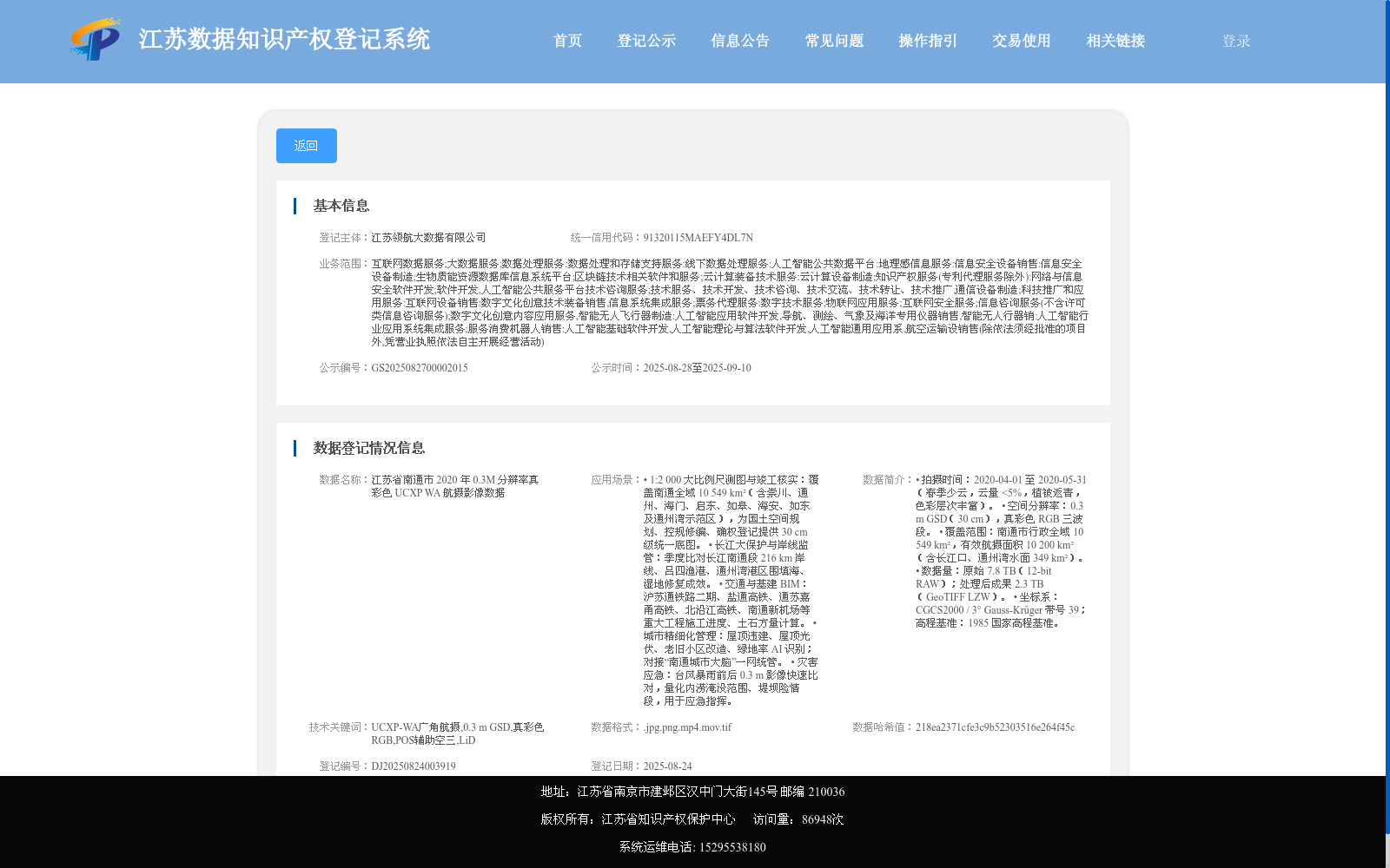
江苏省南通市 2020 年 0.3M 分辨率真彩色 UCXP WA 航摄影像数据
收藏资源简介:
• 拍摄时间:2020-04-01 至 2020-05-31(春季少云,云量 <5%,植被返青,色彩层次丰富)。 • 空间分辨率:0.3 m GSD(30 cm),真彩色 RGB 三波段。 • 覆盖范围:南通市行政全域 10 549 km²,有效航摄面积 10 200 km²(含长江口、通州湾水面 349 km²)。 • 数据量:原始 7.8 TB(12-bit RAW);处理后成果 2.3 TB(GeoTIFF LZW)。 • 坐标系:CGCS2000 / 3° Gauss-Krüger 带号 39;高程基准:1985 国家高程基准。
• Acquisition Period: 2020-04-01 to 2020-05-31 (spring season with scarce cloud cover, cloud cover <5%, vegetation reviving, with rich color gradations). • Spatial Resolution: 0.3 m GSD (30 cm), true-color RGB three-band imagery. • Coverage: Full administrative territory of Nantong City, with a total area of 10,549 km²; the effective aerial photography area is 10,200 km² (including 349 km² of water area in the Yangtze Estuary and Tongzhou Bay). • Data Volume: 7.8 TB for raw 12-bit RAW data; 2.3 TB for processed products in GeoTIFF format with LZW compression. • Coordinate System: CGCS2000 / 3° Gauss-Krüger Projection, Zone 39; Elevation Datum: 1985 National Elevation Datum.