cities
收藏资源简介:
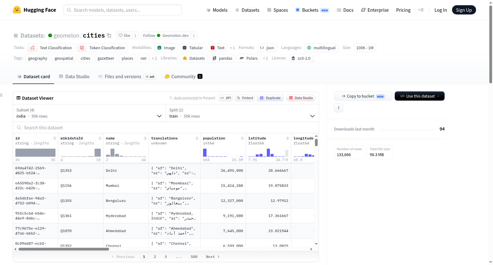
Geomelon — World Cities, Regions & Countries 是一个多语言地理参考数据集,数据来源于 Wikidata,并遵循 CC0 1.0 公共领域许可证(无需署名,可自由商用)。该数据集提供全球城市、地区(区域)和国家的地理信息,每项数据均包含丰富的属性字段:国家包括名称、ISO代码、首都、政府首脑、电话区号、驾驶方向及多语言翻译;地区包括名称、人口、坐标及翻译;城市包括名称、人口、坐标、海拔、面积、邮政编码、电话区号、定居点类型、时区、官方网站以及50多种语言的翻译。数据集按国家划分配置(config),每个国家对应一个独立的子集,用户可通过选择国家来避免下载整个数据集。当前已发布的国家配置包括西班牙、美国、印度、德国等,总样本量在10万到100万之间。该数据集适用于文本分类、令牌分类(如命名实体识别NER)、地理空间分析、检索增强生成(RAG)等任务,也可作为地名词典(gazetteer)使用。
Geomelon — World Cities, Regions & Countries is a multilingual georeferenced dataset sourced from Wikidata, released under the CC0 1.0 Universal Public Domain Dedication (no attribution required, free for commercial use). It provides geographical information on cities, regions, and countries worldwide. Each entry includes rich attributes: for countries — name, ISO code, capital, head of government, calling code, driving side, and multilingual translations; for regions — name, population, coordinates, and translations; for cities — name, population, coordinates, elevation, area, postal code, calling code, settlement type, time zone, official website, and translations in over 50 languages. The dataset is organized by country configuration, each country being a separate subset, allowing users to avoid downloading the entire dataset by selecting a specific country. Currently released country configurations include Spain, United States, India, Germany, etc., with total sample size between 100k and 1M. It is suitable for tasks such as text classification, token classification (e.g., named entity recognition NER), geospatial analysis, retrieval-augmented generation (RAG), and can be used as a gazetteer.
数据集概述
Geomelon — World Cities, Regions & Countries (geomelon/cities) 是一个多语言地理参考数据集,包含城市、地区和国家数据,数据来源于 Wikidata,并以 CC0 1.0 公共领域许可发布,无需署名,可免费用于商业用途。
基本信息
- 许可协议: CC0 1.0(公共领域)
- 语言: 多语言(multilingual)
- 标签: 地理、地理空间、城市、地名录、地点、NER、RAG、Wikidata
- 任务类别: 文本分类、词元分类
- 数据规模: 100K 至 1M 条记录
数据内容与字段
每个城市包含人口、坐标、海拔、面积、邮政编码/电话区号、聚落类型以及 50 多种语言的名称翻译。数据集按国家分为不同配置(config),每个国家一个配置文件。
字段结构:
- 国家: 名称、ISO代码、首都、国家元首/政府首脑、电话区号、行驶方向、翻译
- 地区: 名称、人口、坐标、翻译
- 城市: 名称、人口、坐标、海拔、面积、邮政编码、电话区号、聚落类型、时区、官方网站、翻译(覆盖全球前50大语言及该国官方语言)
可用配置
当前已发布的国家配置包括:
- spain: 数据文件
data/spain/cities.jsonl - united-states: 数据文件
data/united-states/cities.jsonl - india: 数据文件
data/india/cities.jsonl - germany: 数据文件
data/germany/cities.jsonl
用户可通过 load_dataset("geomelon/cities", "spain", split="train") 方式按国家加载数据,无需下载全部语料。
更新记录
- germany v1.0.0 (2026-09-04): 初始发布,29,924 个城市,16 个地区
- india v1.0.0 (2026-08-31): 初始发布,50,000 个城市,35 个地区
- united-states v1.0.0 (2026-08-29): 初始发布,46,565 个城市,56 个地区
- spain v1.0.2 (2026-08-29): 新增 4,596 个城市和 2 个地区
- spain v1.0.1 (2026-08-09): README 更新,新增 FAQ 部分
- spain v1.0.0 (2026-08-09): 初始发布,19,423 个城市,17 个地区
来源与声明
数据集通过 SPARQL 从 Wikidata 派生而来,以 CC0 1.0 许可发布。Wikidata 数据按"原样"提供,该数据集与维基媒体基金会无关联,也未获其认可。建议(但不强制要求)在回链中标注 geomelon.dev。