gpt4o-arena-brevity-dpo
收藏Hugging Face2024-12-23 更新2024-12-24 收录
下载链接:
https://huggingface.co/datasets/ZSvedic/gpt4o-arena-brevity-dpo
下载链接
链接失效反馈官方服务:
资源简介:
DPO(Direct Policy Optimization)数据集包含从[lmsys/chatbot_arena_conversations](https://huggingface.co/datasets/lmsys/chatbot_arena_conversations)数据集生成的正常和简短回答,使用了OpenAI的GPT-4o模型。数据集的生成基于[ShortGPT](https://github.com/ZSvedic/ShortGPT)项目。
创建时间:
2024-12-20
原始信息汇总
数据集概述
语言
- 英语(en)
数据集信息
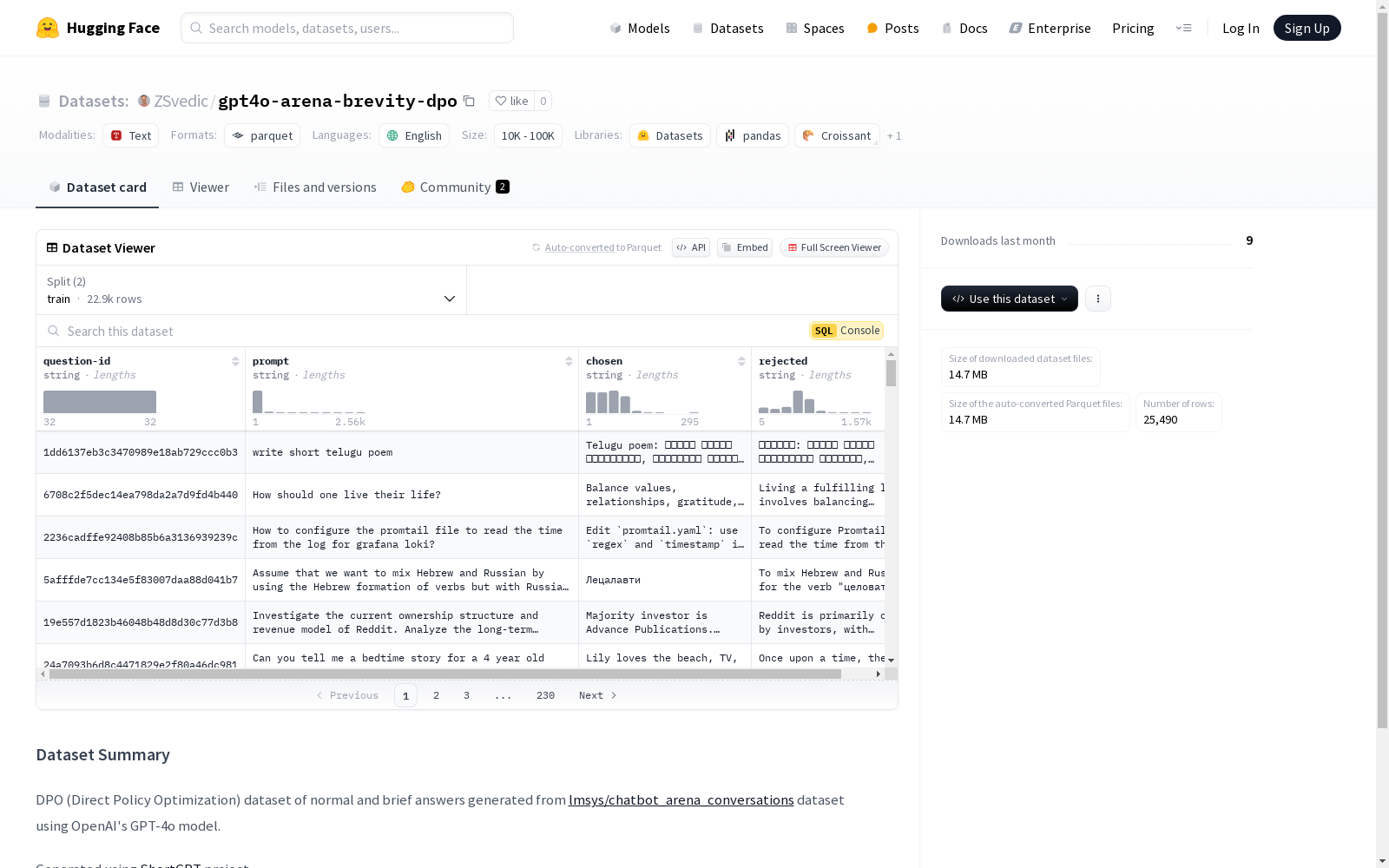
特征
- question-id: 字符串类型
- prompt: 字符串类型
- chosen: 字符串类型
- rejected: 字符串类型
数据分割
- train:
- 字节数: 18627876.9
- 样本数: 22941
- test:
- 字节数: 2069764.1
- 样本数: 2549
数据大小
- 下载大小: 14670524
- 数据集大小: 20697641.0
配置
- config_name: default
- data_files:
- train: data/train-*
- test: data/test-*
- data_files:
数据集来源
- 该数据集是通过OpenAI的GPT-4o模型生成的,基于lmsys/chatbot_arena_conversations数据集。
生成工具
- 使用ShortGPT项目生成。
搜集汇总
数据集介绍
构建方式
该数据集通过利用OpenAI的GPT-4o模型,对[lmsys/chatbot_arena_conversations](https://huggingface.co/datasets/lmsys/chatbot_arena_conversations)数据集中的对话进行处理,生成了一系列标准答案和简短答案。这一过程借助了[ShortGPT](https://github.com/ZSvedic/ShortGPT)项目,旨在通过直接策略优化(DPO)方法,优化生成答案的简洁性和有效性。数据集的构建不仅保留了原始对话的上下文信息,还通过模型生成了对比性的答案,为后续的策略优化提供了丰富的训练数据。
特点
该数据集的显著特点在于其生成的答案具有明显的对比性,即每条记录中包含一个被选中的答案和一个被拒绝的答案,这种设计使得数据集在训练和评估模型时能够更有效地捕捉到简洁性与信息完整性之间的平衡。此外,数据集的结构化特征(如question-id、prompt、chosen和rejected)使得其在处理对话生成和策略优化任务时具有高度的灵活性和适用性。
使用方法
该数据集适用于多种自然语言处理任务,特别是在对话生成和策略优化领域。用户可以通过加载数据集中的训练和测试分割,利用其中的prompt和对比答案进行模型训练和评估。具体而言,数据集的chosen和rejected字段可以用于训练模型在不同策略下的表现,从而优化生成答案的简洁性和相关性。此外,数据集的结构化设计也便于用户进行定制化的数据处理和模型开发。
背景与挑战
背景概述
gpt4o-arena-brevity-dpo数据集是由OpenAI的GPT-4o模型生成的,基于lmsys/chatbot_arena_conversations数据集的简短回答数据集。该数据集的核心研究问题在于通过直接策略优化(DPO)方法,探索如何在保持信息完整性的同时,生成更为简洁的对话响应。这一研究由ShortGPT项目推动,旨在提升对话系统的效率和用户体验。通过提供标准化的训练和测试数据,该数据集为自然语言处理领域的研究人员提供了一个评估和优化对话生成模型的新工具,特别是在简短回答生成方面的应用。
当前挑战
gpt4o-arena-brevity-dpo数据集面临的主要挑战包括如何在生成简短回答时保持信息的准确性和相关性,以及如何有效评估这些简短回答的质量。此外,数据集的构建过程中,如何从原始的lmsys/chatbot_arena_conversations数据集中筛选和生成高质量的简短回答,也是一个技术难题。这些挑战不仅涉及到模型的优化,还包括对数据集的精细管理和评估标准的制定,以确保数据集在实际应用中的有效性和可靠性。
常用场景
经典使用场景
gpt4o-arena-brevity-dpo数据集的经典使用场景主要集中在自然语言处理领域,特别是在生成式对话系统中。该数据集通过对比正常回答与简短回答,为模型提供了优化生成策略的训练数据。研究者可以利用此数据集训练模型,使其在生成对话时能够在保持信息完整性的同时,实现简洁高效的表达。
解决学术问题
该数据集解决了在对话生成领域中常见的冗长与信息丢失问题。通过提供简短且有效的回答样本,它帮助研究者探索如何在生成式模型中实现简洁性与信息量的平衡。这一问题的解决不仅提升了对话系统的用户体验,还为相关领域的研究提供了新的视角和方法。
衍生相关工作
基于gpt4o-arena-brevity-dpo数据集,研究者们开发了多种生成式模型优化策略,如简短回答生成算法和对话策略优化模型。这些工作不仅推动了自然语言处理技术的发展,还为相关领域的研究提供了新的实验平台和基准。此外,该数据集还激发了对生成式模型在不同应用场景下的性能评估和改进研究。
以上内容由遇见数据集搜集并总结生成


