祁连山典型小流域植被-土壤-岩石三维空间结构CT扫描数据集(2021)
收藏国家青藏高原科学数据中心2022-06-20 更新2024-03-01 收录
下载链接:
https://data.tpdc.ac.cn/zh-hans/data/dc11e49d-d9f8-4d69-b95d-5734b50dd34d
下载链接
链接失效反馈官方服务:
资源简介:
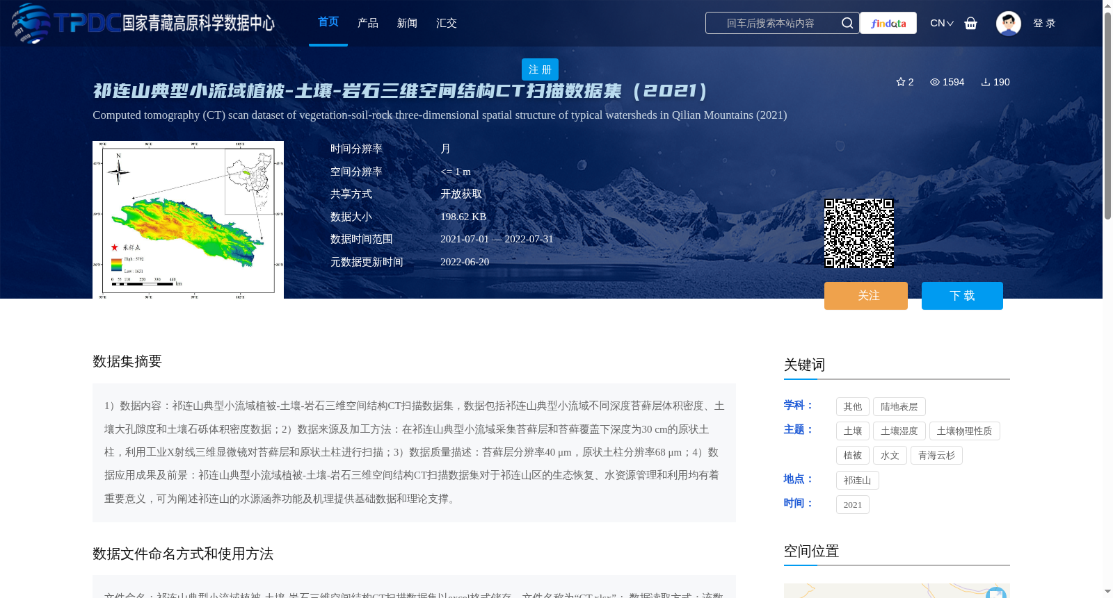
1)数据内容:祁连山典型小流域植被-土壤-岩石三维空间结构CT扫描数据集,数据包括祁连山典型小流域不同深度苔藓层体积密度、土壤大孔隙度和土壤石砾体积密度数据;2)数据来源及加工方法:在祁连山典型小流域采集苔藓层和苔藓覆盖下深度为30 cm的原状土柱,利用工业X射线三维显微镜对苔藓层和原状土柱进行扫描;3)数据质量描述:苔藓层分辨率40 μm,原状土柱分辨率68 μm;4)数据应用成果及前景:祁连山典型小流域植被-土壤-岩石三维空间结构CT扫描数据集对于祁连山区的生态恢复、水资源管理和利用均有着重要意义,可为阐述祁连山的水源涵养功能及机理提供基础数据和理论支撑。
1) Data Content: CT scanning dataset of three-dimensional spatial structure of vegetation-soil-rock in typical small watersheds of the Qilian Mountains. The dataset includes volume density data of moss layers at different depths, soil macroporosity and volume density of soil gravels in typical small watersheds of the Qilian Mountains.
2) Data Source and Processing Method: Intact soil columns with a depth of 30 cm under moss cover and the corresponding moss layers were collected from the typical small watersheds of the Qilian Mountains. Industrial X-ray three-dimensional microscopy was used to scan the moss layers and intact soil columns.
3) Data Quality Description: The scanning resolution of the moss layers is 40 μm, while the scanning resolution of the intact soil columns is 68 μm.
4) Data Application Achievements and Prospects: This CT scanning dataset of three-dimensional spatial structure of vegetation-soil-rock in typical small watersheds of the Qilian Mountains is of great significance for ecological restoration, water resource management and utilization in the Qilian Mountain region. It can provide basic data and theoretical support for elucidating the water conservation function and its underlying mechanism of the Qilian Mountains.
提供机构:
胡霞
创建时间:
2022-06-18
搜集汇总
数据集介绍
背景与挑战
背景概述
该数据集是2021年祁连山典型小流域的植被-土壤-岩石三维空间结构CT扫描数据,通过工业X射线三维显微镜采集,包含苔藓层体积密度、土壤大孔隙度和土壤石砾体积密度等指标,分辨率高达40-68微米。数据旨在支持祁连山区的生态恢复和水资源管理研究,为水源涵养功能提供基础理论支撑,具有高精度和开放共享的特点。
以上内容由遇见数据集搜集并总结生成


