中巴经济走廊滑坡泥石流空间分布数据集
收藏资源简介:
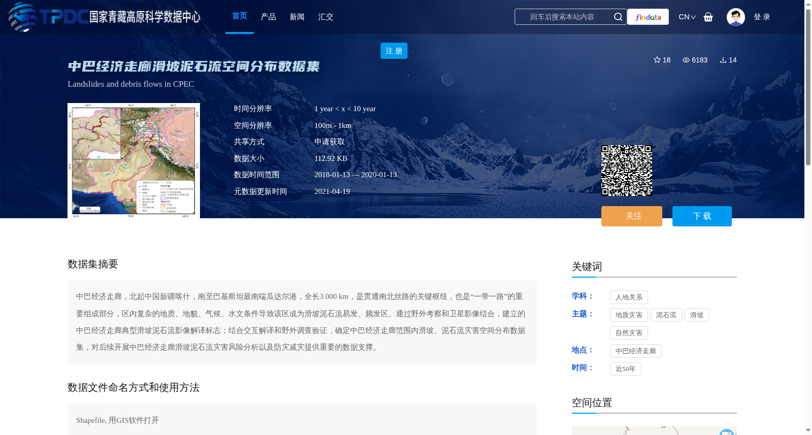
中巴经济走廊,北起中国新疆喀什,南至巴基斯坦最南端瓜达尔港,全长3 000 km,是贯通南北丝路的关键枢纽,也是“一带一路”的重要组成部分,区内复杂的地质、地貌、气候、水文条件导致该区成为滑坡泥石流易发、频发区。通过野外考察和卫星影像结合,建立的中巴经济走廊典型滑坡泥石流影像解译标志;结合交互解译和野外调查验证,确定中巴经济走廊范围内滑坡、泥石流灾害空间分布数据集,对后续开展中巴经济走廊滑坡泥石流灾害风险分析以及防灾减灾提供重要的数据支撑。
The China-Pakistan Economic Corridor (CPEC) stretches from Kashgar, Xinjiang, China in the north to Gwadar Port, the southernmost port of Pakistan, in the south, with a total length of 3,000 km. It serves as a key hub connecting the northern and southern Silk Roads and an important component of the Belt and Road Initiative (BRI). Due to the complex geological, geomorphological, climatic and hydrological conditions within the corridor, this region has become a frequently-occurring and high-incidence area for landslides and debris flows. Through the integration of field surveys and satellite imagery, the image interpretation signs for typical landslides and debris flows along the CPEC were established. Combined with interactive interpretation and field investigation verification, the spatial distribution dataset of landslide and debris flow disasters within the scope of the CPEC was finalized. This dataset provides critical data support for subsequent landslide and debris flow disaster risk analysis and disaster prevention and mitigation efforts along the corridor.