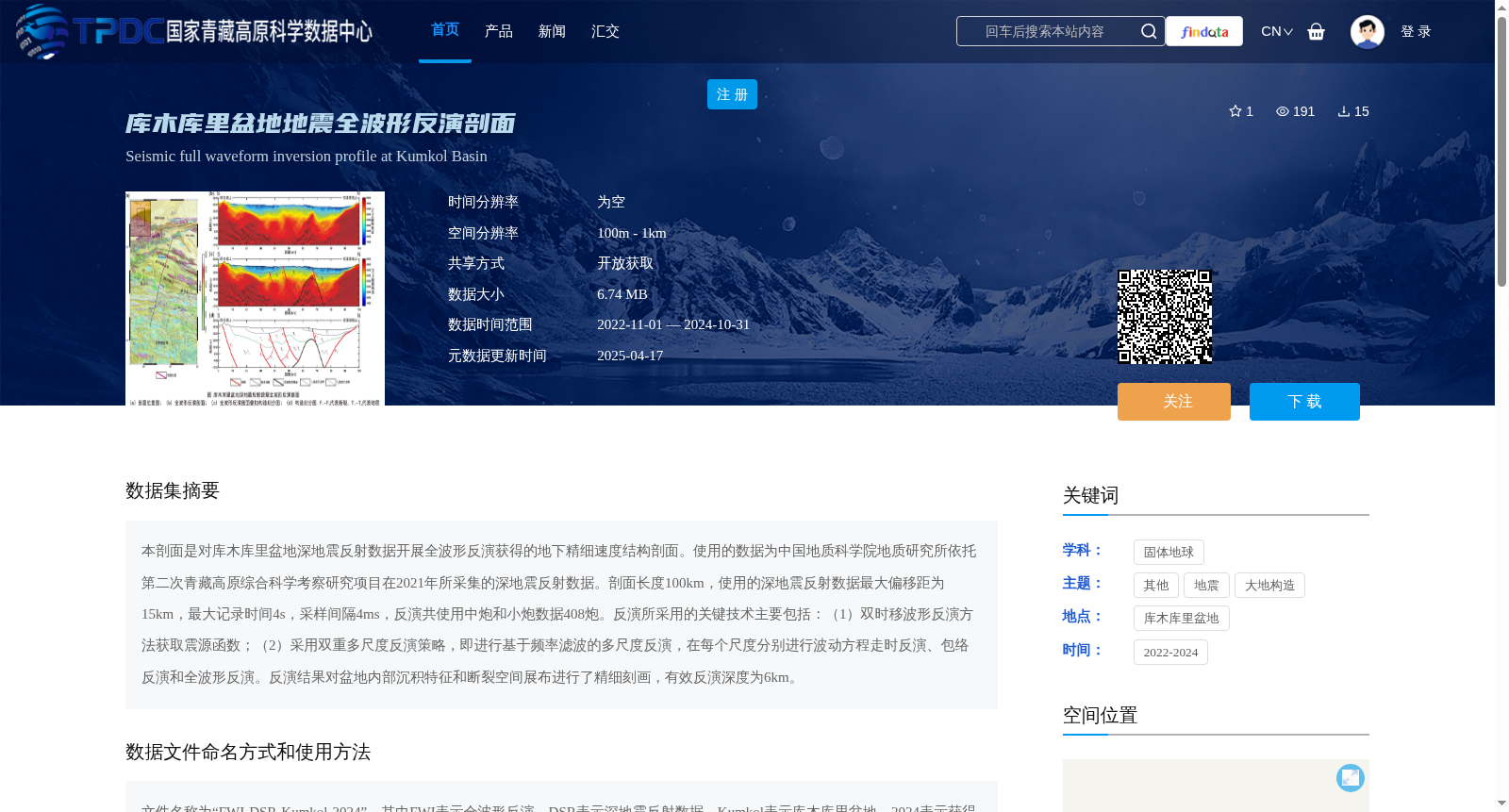
库木库里盆地地震全波形反演剖面
收藏资源简介:
本剖面是对库木库里盆地深地震反射数据开展全波形反演获得的地下精细速度结构剖面。使用的数据为中国地质科学院地质研究所依托第二次青藏高原综合科学考察研究项目在2021年所采集的深地震反射数据。剖面长度100km,使用的深地震反射数据最大偏移距为15km,最大记录时间4s,采样间隔4ms,反演共使用中炮和小炮数据408炮。反演所采用的关键技术主要包括:(1)双时移波形反演方法获取震源函数;(2)采用双重多尺度反演策略,即进行基于频率滤波的多尺度反演,在每个尺度分别进行波动方程走时反演、包络反演和全波形反演。反演结果对盆地内部沉积特征和断裂空间展布进行了精细刻画,有效反演深度为6km。
This profile is a high-resolution underground velocity structure profile obtained through full-waveform inversion (FWI) of deep seismic reflection data from the Kumukuli Basin. The deep seismic reflection data used were collected in 2021 by the Institute of Geology, Chinese Academy of Geological Sciences, under the Second Tibetan Plateau Scientific Expedition and Research Program. The profile has a length of 100 km, with the utilized data featuring a maximum offset of 15 km, a maximum recording time of 4 s, and a sampling interval of 4 ms. A total of 408 shots of medium and small-scale shot data were utilized for the inversion. The key technologies adopted for the inversion mainly include: (1) A dual time-shift waveform inversion method to retrieve the source wavelet; (2) A dual multi-scale inversion strategy, specifically multi-scale inversion based on frequency filtering, where wave equation traveltime inversion, envelope inversion, and full-waveform inversion are conducted sequentially at each scale. The inversion results finely characterize the internal sedimentary characteristics and spatial distribution of faults within the basin, with an effective inversion depth of 6 km.