pangaea2-vhr
收藏资源简介:
PANGAEA-2 VHR数据集是一个非官方的镜像集合,旨在为研究可重复性提供基于哈希的版本控制。它整合了四个独立的高分辨率遥感数据集:PureForest、xView2、mpv4ger和SpaceNet 3 Roads,每个数据集作为一个独立的配置发布,包含分片的Parquet文件。PureForest专注于18类树种分类,包含135,569个250x250像素的四波段(NIR、R、G、B)图像样本。xView2用于建筑物损坏分割(0-4级),包含约10,101对灾前和灾后的1024x1024 RGB图像对。mpv4ger是一个二分类数据集,用于太阳能电池板检测,包含13,812个320x320的RGB图像。SN3 Roads用于道路网络提取,包含3,708个1300x1300的原始uint16 RGB图像(PS-RGB格式)。数据集涵盖了图像分类、图像分割和对象检测等多种计算机视觉任务,特别适用于地理空间分析、遥感、地球观测和变化检测等应用场景。数据以PNG或原始GeoTIFF格式存储,并保留了完整的地理参考信息(如CRS、边界框、地理变换)。
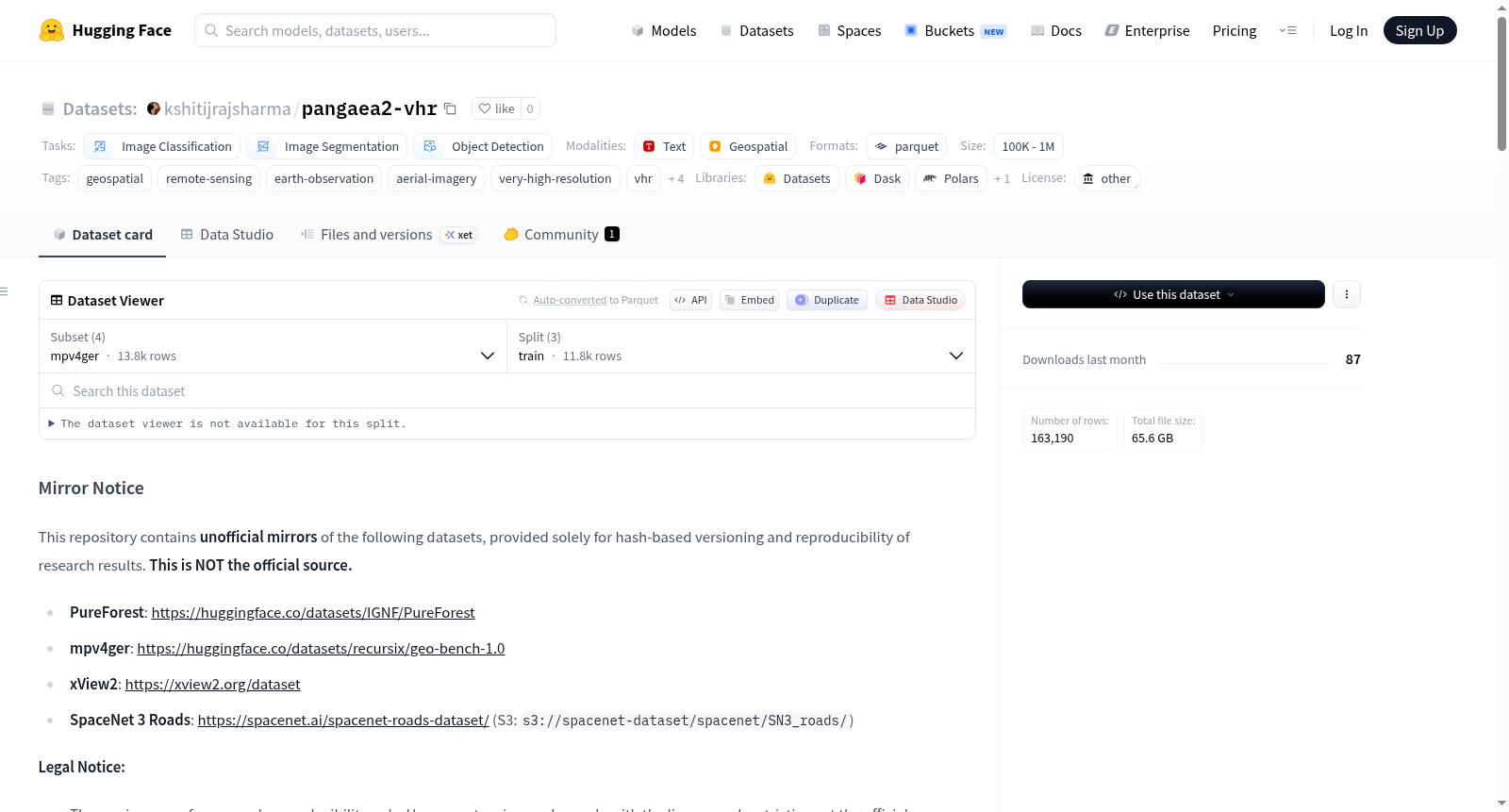
The PANGAEA-2 VHR dataset is an unofficial mirror collection designed to provide hash-based version control for research reproducibility. It integrates four independent high-resolution remote sensing datasets: PureForest, xView2, mpv4ger, and SpaceNet 3 Roads. Each dataset is released as an independent configuration and includes sharded Parquet files. PureForest focuses on 18-class tree species classification, containing 135,569 image samples of 250x250 pixels with four bands (NIR, R, G, B). xView2 is used for building damage segmentation (levels 0-4), containing approximately 10,101 pairs of pre- and post-disaster 1024x1024 RGB images. mpv4ger is a binary classification dataset for solar panel detection, containing 13,812 320x320 RGB images. SN3 Roads is used for road network extraction, containing 3,708 raw uint16 RGB images of 1300x1300 pixels (in PS-RGB format). The dataset covers various computer vision tasks such as image classification, image segmentation, and object detection, and is particularly suitable for applications in geospatial analysis, remote sensing, Earth observation, and change detection. Data is stored in PNG or raw GeoTIFF formats, with complete georeferencing information preserved (e.g., CRS, bounding boxes, geotransforms).