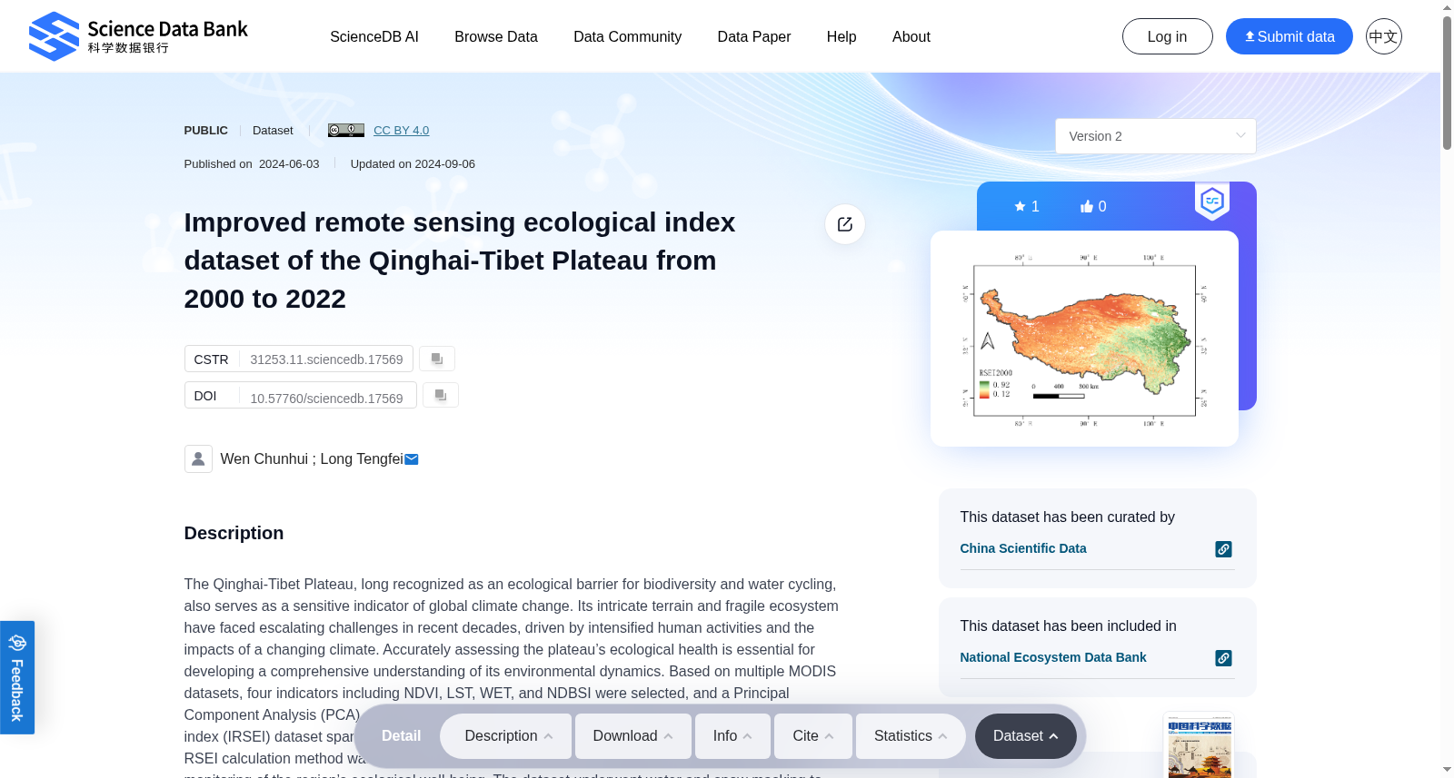
Improved remote sensing ecological index dataset of the Qinghai-Tibet Plateau from 2000 to 2022
收藏资源简介:
The Qinghai-Tibet Plateau, long recognized as an ecological barrier for biodiversity and water cycling, also serves as a sensitive indicator of global climate change. Its intricate terrain and fragile ecosystem have faced escalating challenges in recent decades, driven by intensified human activities and the impacts of a changing climate. Accurately assessing the plateau’s ecological health is essential for developing a comprehensive understanding of its environmental dynamics. Based on multiple MODIS datasets, four indicators including NDVI, LST, WET, and NDBSI were selected, and a Principal Component Analysis (PCA) method was employed to generate an improved remote sensing ecological index (IRSEI) dataset spanning the years 2000–2022, with a spatial resolution of 500 meters. Notably, the RSEI calculation method was refined to enhance its temporal comparability, facilitating long-term monitoring of the region’s ecological well-being. The dataset underwent water and snow masking to eliminate the influence of water bodies and snow. The spatial distribution of the IRSEI was validated against a land use dataset, and the results demonstrated a high degree of consistency between the IRSEI data distribution and the land use types on the Qinghai-Tibet Plateau. This dataset can serve as a theoretical basis and scientific support for the sustainable management and development of the Qinghai-Tibet Plateau, contributing to its high-quality development.
青藏高原长期以来既是生物多样性与水循环的核心生态屏障,亦是全球气候变化的敏感指示器。其复杂多样的地形与脆弱敏感的生态系统,在近几十年来因人类活动加剧与气候变化影响,正面临不断升级的挑战。精准评估该高原的生态健康状况,是全面掌握其环境动态变化的关键前提。本研究基于多套中分辨率成像光谱仪(MODIS)数据集,选取归一化植被指数(Normalized Difference Vegetation Index,NDVI)、地表温度(Land Surface Temperature,LST)、湿度分量(Wetness Component,WET)与归一化建筑-土壤指数(Normalized Difference Built-up and Soil Index,NDBSI)四项指标,通过主成分分析(Principal Component Analysis,PCA)方法生成了覆盖2000-2022年的改进型遥感生态指数(Improved Remote Sensing Ecological Index,IRSEI)数据集,空间分辨率为500米。值得注意的是,本研究对遥感生态指数(Remote Sensing Ecological Index,RSEI)的计算流程进行了优化,以提升其时间序列可比性,为该区域生态状况的长期监测提供支撑。该数据集已完成水体与积雪掩膜处理,有效剔除了水体和积雪对数据的干扰。研究团队通过土地利用数据集对IRSEI的空间分布开展验证,结果显示IRSEI的数据分布与青藏高原的土地利用类型具有高度契合性。本数据集可为青藏高原的可持续管理与开发提供坚实的理论依据与科学支撑,助力其实现高质量发展。