1975-2015中国北方半干旱区30m沙漠化分布数据集
收藏地球大数据科学工程2024-03-04 收录
下载链接:
https://data.casearth.cn/sdo/detail/636e17ed819aec5df66b523e
下载链接
链接失效反馈官方服务:
资源简介:
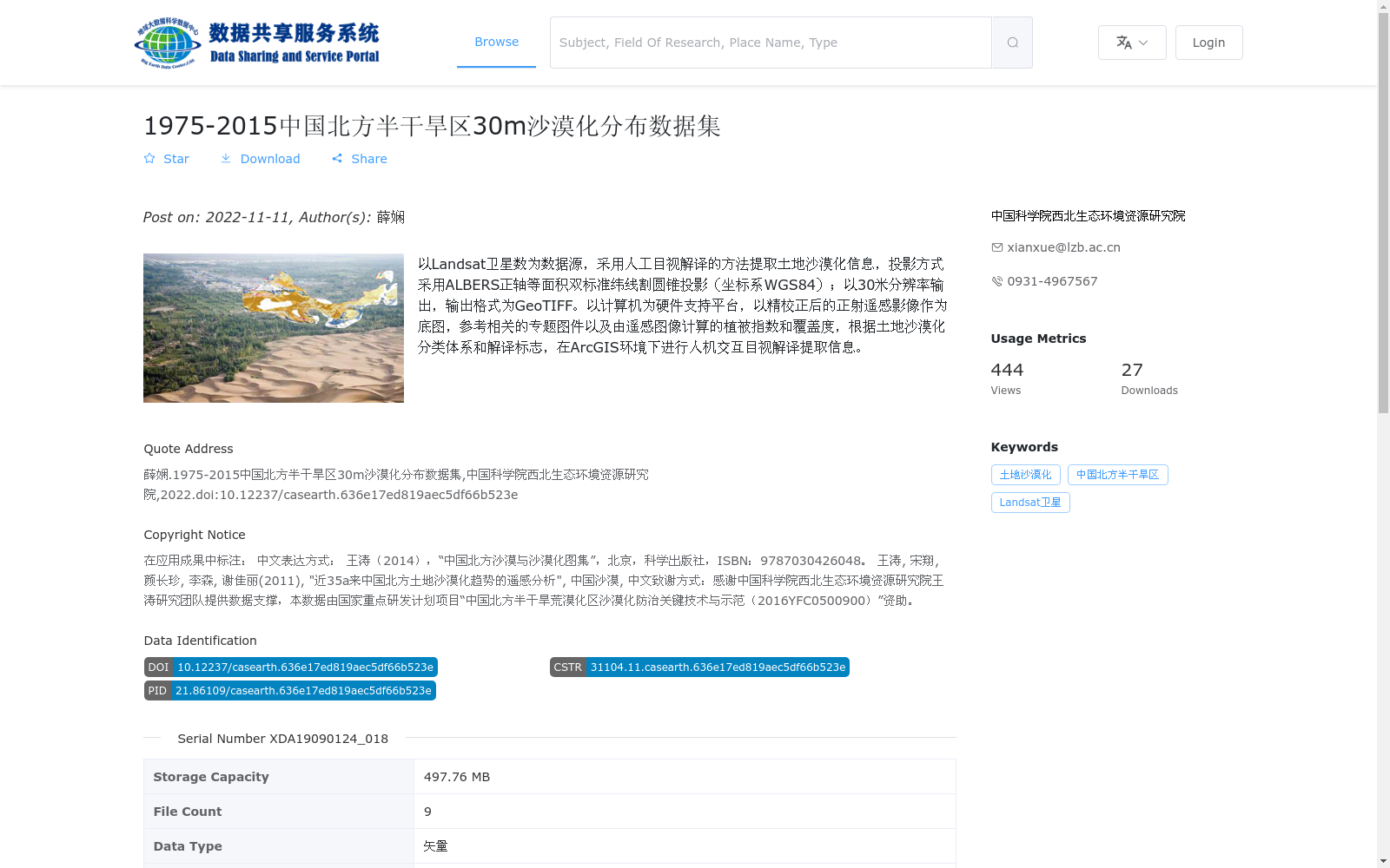
以Landsat卫星数为数据源,采用人工目视解译的方法提取土地沙漠化信息,投影方式采用ALBERS正轴等面积双标准纬线割圆锥投影(坐标系WGS84);以30米分辨率输出,输出格式为GeoTIFF。以计算机为硬件支持平台,以精校正后的正射遥感影像作为底图,参考相关的专题图件以及由遥感图像计算的植被指数和覆盖度,根据土地沙漠化分类体系和解译标志,在ArcGIS环境下进行人机交互目视解译提取信息。
Using Landsat satellite data as the data source, manual visual interpretation was adopted to extract land desertification information. The projection adopts the Albers conical equal-area projection with two standard parallels (WGS84 coordinate system). The output has a resolution of 30 meters and is saved in GeoTIFF format. Supported by computer hardware, orthorectified remote sensing images were used as the base map, with reference to relevant thematic maps, vegetation indices and coverage calculated from remote sensing images. Information extraction was carried out through human-computer interactive visual interpretation in the ArcGIS environment according to the land desertification classification system and interpretation signs.
提供机构:
中国科学院西北生态环境资源研究院
搜集汇总
数据集介绍
背景与挑战
背景概述
该数据集提供了1975年至2015年中国北方半干旱区的土地沙漠化分布信息,基于Landsat卫星数据通过人工目视解译方法生成,分辨率为30米,输出格式为GeoTIFF和shp矢量格式。数据集由中国科学院西北生态环境资源研究院发布,旨在支持沙漠化防治研究,具有长期时间序列和高空间分辨率的特点,适用于环境监测和气候变化分析。
以上内容由遇见数据集搜集并总结生成


