基于高分辨率影像的桂林市多时序矢量道路网络数据集(2010、2015、2020、2024年)
收藏地球大数据科学工程2026-02-04 更新2026-02-07 收录
下载链接:
https://data.casearth.cn/dataset/6960b76797d0b0397736d9ae
下载链接
链接失效反馈官方服务:
资源简介:
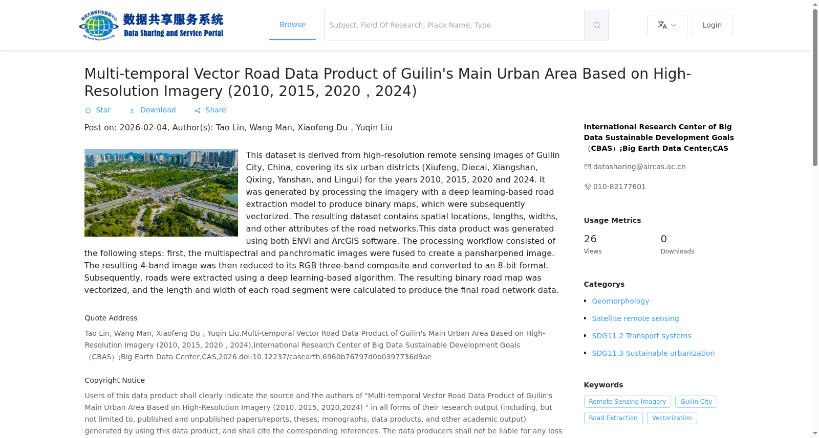
基于2010、2015及2020年的桂林市(秀峰、叠彩、象山、七星、雁山、临桂六区)高分遥感影像,通过深度学习道路提取模型处理生成二值图,并矢量化后得到。包含道路空间位置、长度、宽度等信息。本数据产品基于ENVI与ArcGIS平台生成。处理流程如下:首先对多光谱与全色影像进行融合;随后从融合后的四波段影像中提取RGB三波段,并将其转换为8位格式;继而采用基于深度学习的方法提取道路信息;最后,将得到的二值化道路结果进行矢量化,并计算各条道路的长度与宽度,从而生成最终的道路数据产品。
This dataset is derived from high-resolution remote sensing images of Guilin City (covering six districts: Xiufeng, Diecai, Xiangshan, Qixing, Yanshan and Lingui) in 2010, 2015 and 2020. It is generated by using deep learning-based road extraction models to produce binary road maps, followed by vectorization processing. The dataset contains information such as the spatial location, length and width of roads. This data product is developed based on the ENVI and ArcGIS platforms. The specific processing workflow is as follows: First, fuse the multispectral and panchromatic images; then extract the RGB three bands from the fused four-band image and convert it into an 8-bit format; next, adopt deep learning-based methods to extract road information; finally, vectorize the obtained binarized road extraction results, and calculate the length and width of each road to generate the final road data product.
创建时间:
2026-01-09
搜集汇总
数据集介绍
背景与挑战
背景概述
该数据集是基于高分辨率遥感影像,利用深度学习模型提取并矢量化的桂林市主城区多时序道路网络数据,覆盖2010、2015、2020和2024年四个时间点。数据包含道路空间位置、长度和宽度等属性,以shp格式提供,空间分辨率为2米,适用于城市交通系统与可持续城市化研究。
以上内容由遇见数据集搜集并总结生成


