
Google Open Buildings v3 Polygons
收藏DataCite Commons2025-04-10 更新2025-05-10 收录
下载链接:
http://india.climateverse.net/citation?persistentId=doi:10.71646/EV3RBJ
下载链接
链接失效反馈官方服务:
资源简介:
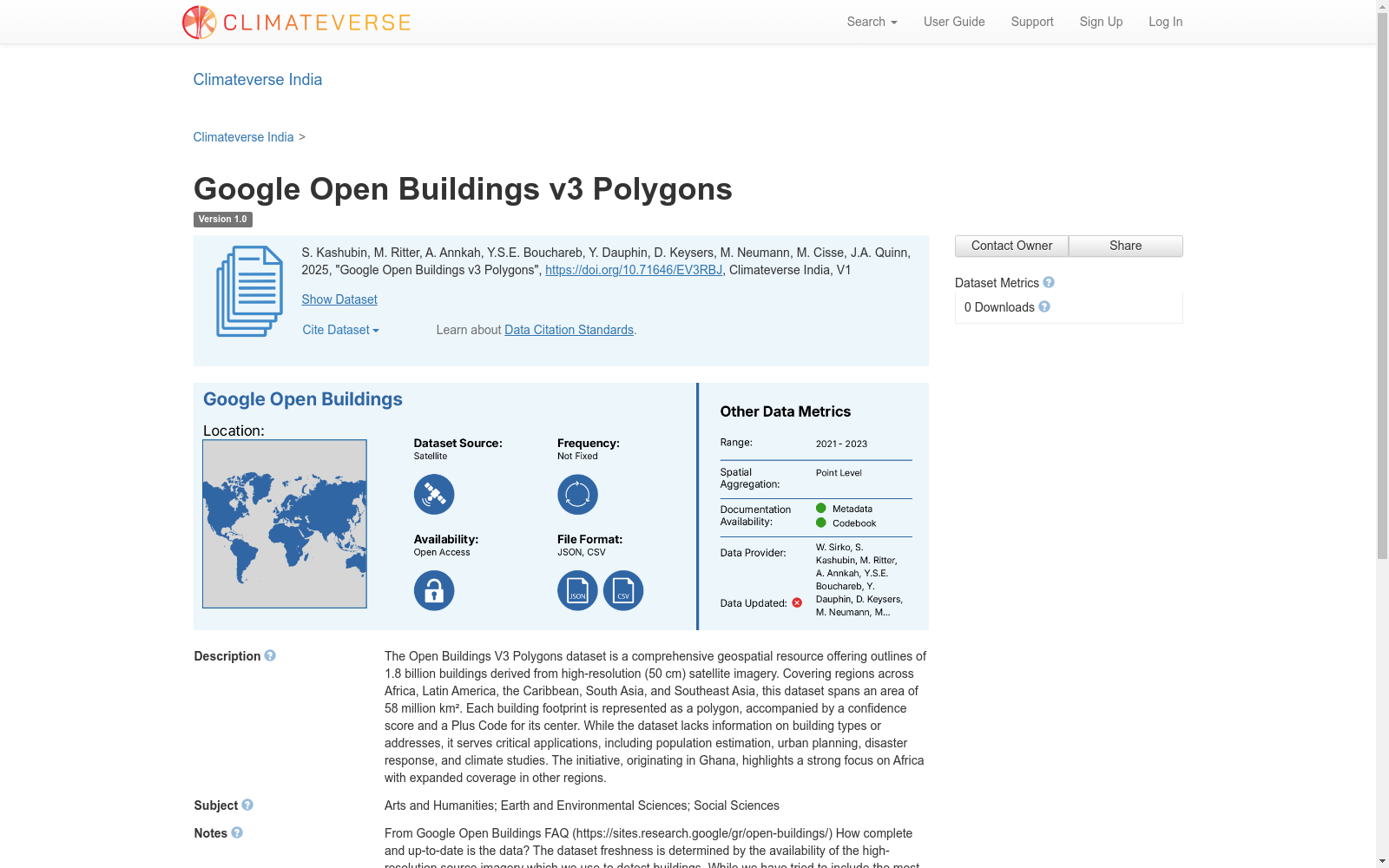
The Open Buildings V3 Polygons dataset is a comprehensive geospatial resource offering outlines of 1.8 billion buildings derived from high-resolution (50 cm) satellite imagery. Covering regions across Africa, Latin America, the Caribbean, South Asia, and Southeast Asia, this dataset spans an area of 58 million km². Each building footprint is represented as a polygon, accompanied by a confidence score and a Plus Code for its center. While the dataset lacks information on building types or addresses, it serves critical applications, including population estimation, urban planning, disaster response, and climate studies. The initiative, originating in Ghana, highlights a strong focus on Africa with expanded coverage in other regions.
Open Buildings V3 多边形数据集是一套全面的地理空间数据集,依托高分辨率(50厘米)卫星影像提取得到,收录了18亿栋建筑的轮廓范围。其覆盖区域涵盖非洲、拉丁美洲、加勒比地区、南亚及东南亚,总覆盖面积达5800万平方千米。每一处建筑基底轮廓(building footprint)均以多边形形式呈现,同时附带置信度评分以及其中心点的开放式位置编码(Plus Code)。尽管该数据集未涵盖建筑类型与地址信息,但其可应用于人口估算、城市规划、灾害响应及气候研究等关键领域。本项目起源于加纳,核心聚焦非洲地区,并同步拓展了其他区域的覆盖范围。
提供机构:
Climateverse India
创建时间:
2025-04-10
搜集汇总
数据集介绍
背景与挑战
背景概述
Google Open Buildings v3 Polygons数据集是一个覆盖广泛地理区域的高分辨率建筑物轮廓数据集,包含18亿个建筑物的多边形表示,适用于多种地理空间分析和应用场景。
以上内容由遇见数据集搜集并总结生成



