
SubSurfaceGeoRobo: A Comprehensive Underground Dataset for SLAM-based Geomonitoring with Sensor Calibration
收藏DataCite Commons2025-04-16 更新2025-04-16 收录
下载链接:
https://doi.pangaea.de/10.1594/PANGAEA.975532
下载链接
链接失效反馈官方服务:
资源简介:
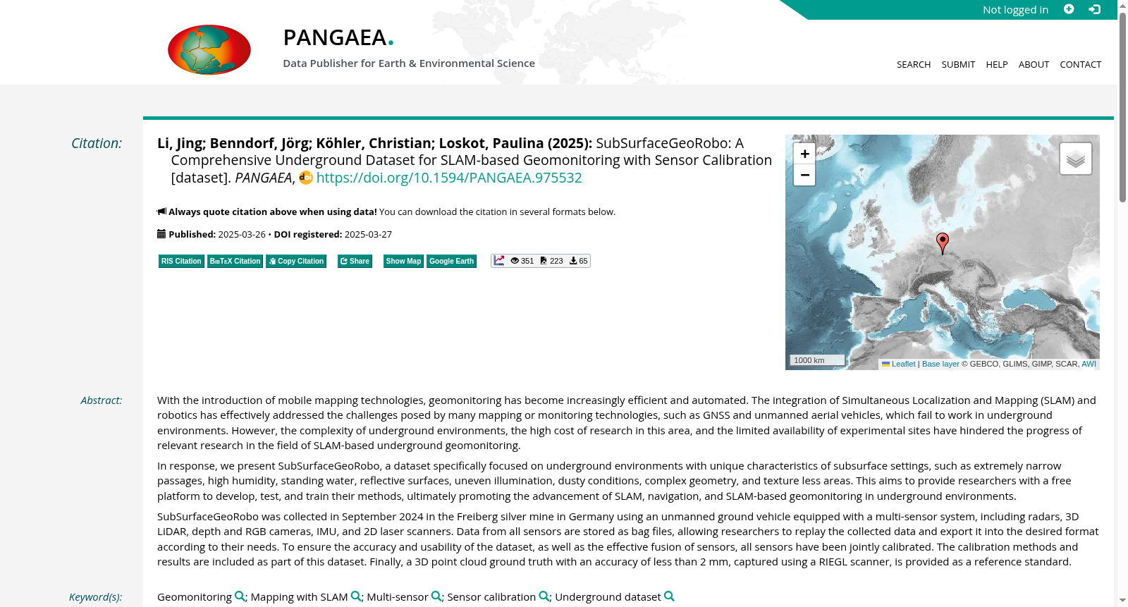
With the introduction of mobile mapping technologies, geomonitoring has become increasingly efficient and automated. The integration of Simultaneous Localization and Mapping (SLAM) and robotics has effectively addressed the challenges posed by many mapping or monitoring technologies, such as GNSS and unmanned aerial vehicles, which fail to work in underground environments. However, the complexity of underground environments, the high cost of research in this area, and the limited availability of experimental sites have hindered the progress of relevant research in the field of SLAM-based underground geomonitoring. In response, we present SubSurfaceGeoRobo, a dataset specifically focused on underground environments with unique characteristics of subsurface settings, such as extremely narrow passages, high humidity, standing water, reflective surfaces, uneven illumination, dusty conditions, complex geometry, and texture less areas. This aims to provide researchers with a free platform to develop, test, and train their methods, ultimately promoting the advancement of SLAM, navigation, and SLAM-based geomonitoring in underground environments. SubSurfaceGeoRobo was collected in September 2024 in the Freiberg silver mine in Germany using an unmanned ground vehicle equipped with a multi-sensor system, including radars, 3D LiDAR, depth and RGB cameras, IMU, and 2D laser scanners. Data from all sensors are stored as bag files, allowing researchers to replay the collected data and export it into the desired format according to their needs. To ensure the accuracy and usability of the dataset, as well as the effective fusion of sensors, all sensors have been jointly calibrated. The calibration methods and results are included as part of this dataset. Finally, a 3D point cloud ground truth with an accuracy of less than 2 mm, captured using a RIEGL scanner, is provided as a reference standard.
伴随移动测绘技术的普及,地质监测正愈发高效且朝着自动化方向发展。将同步定位与地图构建(Simultaneous Localization and Mapping, SLAM)与机器人技术相结合,有效解决了诸多测绘与监测技术(如全球导航卫星系统(Global Navigation Satellite System, GNSS)、无人机)无法在地下环境中正常工作的难题。然而,地下环境复杂多变、该领域研究成本高昂且试验场地资源有限,阻碍了基于SLAM的地下地质监测领域相关研究的推进。为此,我们推出了SubSurfaceGeoRobo数据集——一款专门面向地下环境的数据集,其涵盖了地下场景的诸多独有特征:极窄通道、高湿度环境、积水、反射表面、光照不均、多尘工况、复杂几何结构以及无纹理区域。该数据集旨在为研究人员提供一个免费的开发、测试与训练平台,最终推动地下环境下SLAM、导航以及基于SLAM的地质监测技术的发展。SubSurfaceGeoRobo数据集于2024年9月在德国弗莱贝格银矿采集完成,采集设备为搭载多传感器系统的地面无人车,该系统涵盖雷达、3D激光雷达(3D LiDAR)、深度与RGB相机、惯性测量单元(Inertial Measurement Unit, IMU)以及二维激光扫描仪。所有传感器的数据均以bag文件格式存储,研究人员可复现采集到的数据,并根据自身需求将其导出为所需格式。为保障数据集的准确性与可用性,同时实现传感器间的有效融合,所有传感器均经过联合标定,标定方法与结果已作为数据集的一部分一并提供。此外,本数据集还提供了采用RIEGL扫描仪采集的3D点云真值数据,其精度优于2毫米,可作为参考标准使用。
提供机构:
PANGAEA
创建时间:
2025-03-27
搜集汇总
数据集介绍
背景与挑战
背景概述
SubSurfaceGeoRobo是一个专为地下环境SLAM研究设计的多传感器数据集,包含高精度校准数据和3D点云地面真实数据,旨在促进地下环境中的SLAM和地质监测技术发展。
以上内容由遇见数据集搜集并总结生成



