中亚,南亚和中南半岛土地覆被变化(1992-2020)
收藏资源简介:
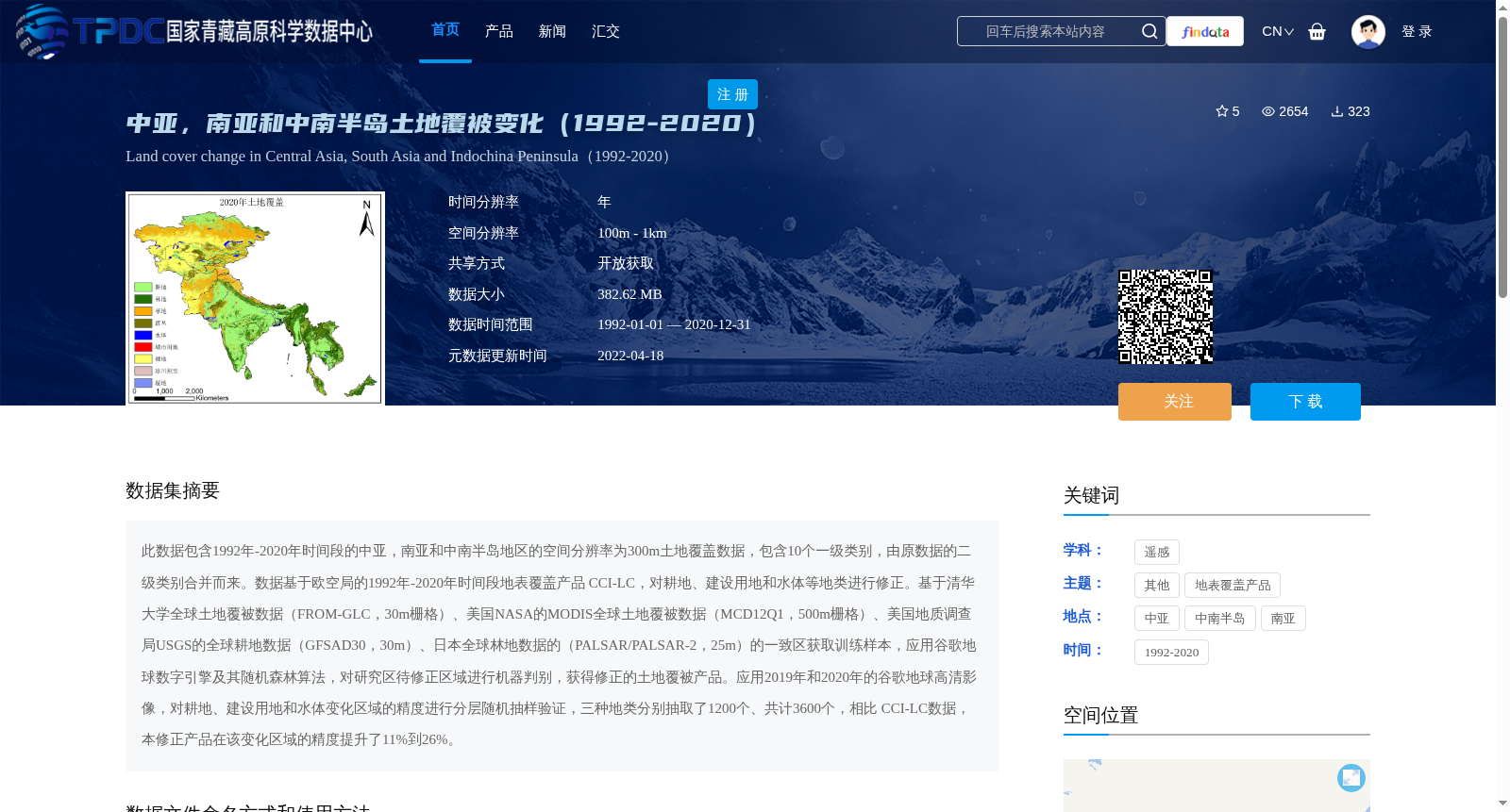
此数据包含1992年-2020年时间段的中亚,南亚和中南半岛地区的空间分辨率为300m土地覆盖数据,包含10个一级类别,由原数据的二级类别合并而来。数据基于欧空局的1992年-2020年时间段地表覆盖产品 CCI-LC,对耕地、建设用地和水体等地类进行修正。基于清华大学全球土地覆被数据(FROM-GLC,30m栅格)、美国NASA的MODIS全球土地覆被数据(MCD12Q1,500m栅格)、美国地质调查局USGS的全球耕地数据(GFSAD30,30m)、日本全球林地数据的(PALSAR/PALSAR-2,25m)的一致区获取训练样本,应用谷歌地球数字引擎及其随机森林算法,对研究区待修正区域进行机器判别,获得修正的土地覆被产品。应用2019年和2020年的谷歌地球高清影像,对耕地、建设用地和水体变化区域的精度进行分层随机抽样验证,三种地类分别抽取了1200个、共计3600个,相比 CCI-LC数据,本修正产品在该变化区域的精度提升了11%到26%。
This dataset provides 300 m spatial resolution land cover data for Central Asia, South Asia and the Indochina Peninsula during the period 1992–2020, consisting of 10 primary categories aggregated from the secondary classes of the original dataset. This product is revised based on the European Space Agency (ESA) CCI-LC land cover product (1992–2020), with corrections made for key land classes including cropland, built-up areas and water bodies. Training samples were collected from consistent overlapping regions of multiple reference datasets, namely Tsinghua University’s Global Land Cover Dataset (FROM-GLC, 30 m raster), NASA’s MODIS Global Land Cover Dataset (MCD12Q1, 500 m raster), U.S. Geological Survey (USGS) Global Cropland Dataset (GFSAD30, 30 m), and Japan’s global forest cover dataset (PALSAR/PALSAR-2, 25 m). Subsequently, Google Earth Engine (GEE) and the Random Forest algorithm were utilized to perform machine classification on the regions requiring correction within the study area, thereby generating the revised land cover product. Accuracy assessment was conducted via stratified random sampling on the land cover change areas of cropland, built-up areas and water bodies using high-resolution Google Earth imagery from 2019 and 2020. A total of 3600 sampling points were acquired, with 1200 points allocated to each of the three target land classes. Compared to the original CCI-LC dataset, the accuracy of this revised product in these changed regions was improved by 11% to 26%.