黄河流域500米分辨率归一化植被指数(NDVI)(2015-2019年)
收藏资源简介:
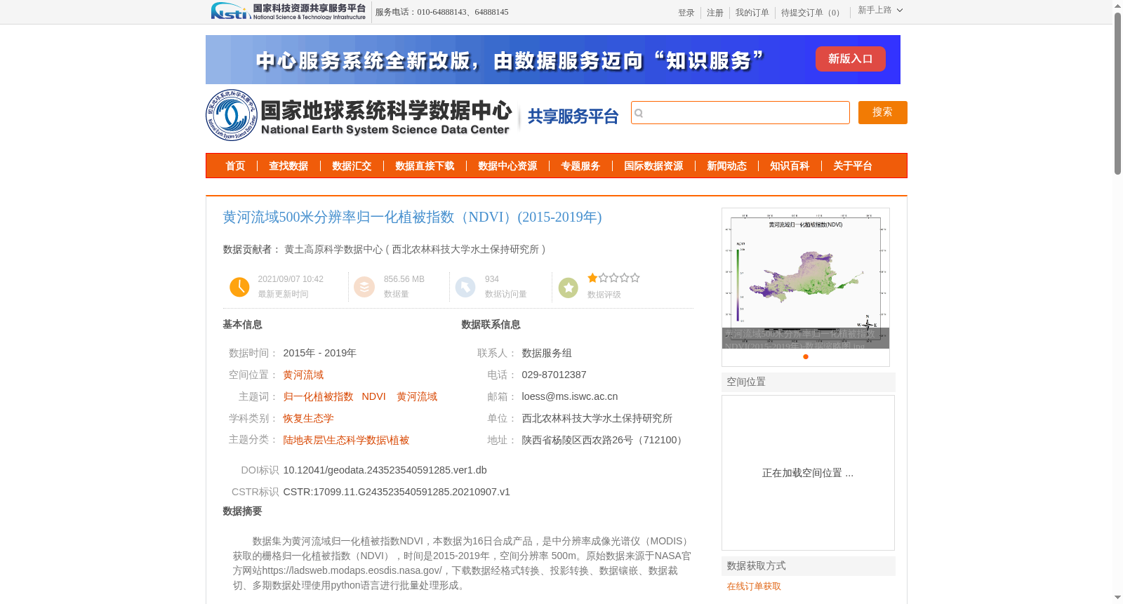
数据集为黄河流域归一化植被指数NDVI,本数据为16日合成产品,是中分辨率成像光谱仪(MODIS)获取的栅格归一化植被指数(NDVI),时间是2015-2019年,空间分辨率 500m。原始数据来源于NASA官方网站https://ladsweb.modaps.eosdis.nasa.gov/,下载数据经格式转换、投影转换、数据镶嵌、数据裁切、多期数据处理使用python语言进行批量处理形成。
This dataset contains Normalized Difference Vegetation Index (NDVI) data for the Yellow River Basin. It is a 16-day composite raster NDVI product captured by the Moderate Resolution Imaging Spectroradiometer (MODIS), with a temporal coverage from 2015 to 2019 and a spatial resolution of 500 meters. The original raw data was sourced from the official NASA website at https://ladsweb.modaps.eosdis.nasa.gov/. The downloaded raw data was processed in batch using Python, including format conversion, projection transformation, data mosaicking, data clipping, and multi-temporal data processing, to produce this final dataset.