
Greater Yellowstone Area Landscape Dynamics, GeoPackage
收藏DataCite Commons2025-05-09 更新2025-05-18 收录
下载链接:
https://irma.nps.gov/DataStore/Reference/Profile/2306911
下载链接
链接失效反馈官方服务:
资源简介:
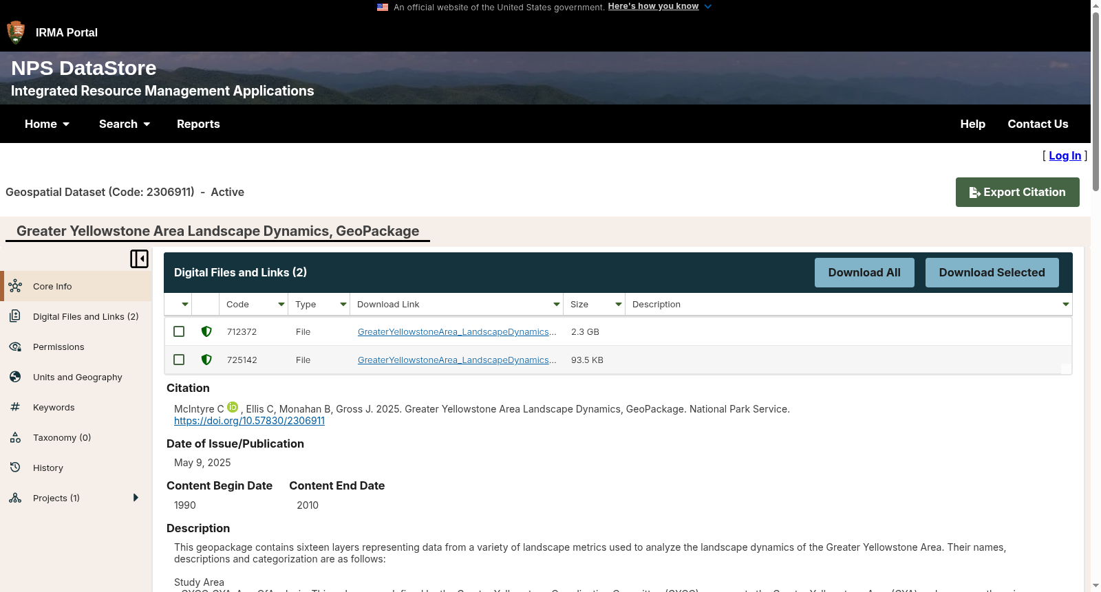
This geopackage contains sixteen layers representing data from a variety of landscape metrics used to analyze the landscape dynamics of the Greater Yellowstone Area. Their names, descriptions and categorization are as follows:
Study Area
- GYCC_GYA_AreaOfAnalysis. This polygon, as defined by the Greater Yellowstone Coordinating Committee (GYCC), represents the Greater Yellowstone Area (GYA) and serves as the primary area of analysis for most of the indicators described in the report.
- SonoranInstitute_AreaOfAnalysis. These polygons represent the 34 counties considered most influential in terms of regional land use characteristics and serve as a second area of analysis. Produced by the Sonoran Institute.
Conservation Status
- PADUS1_2. This feature layer includes polygons from the Protected Areas Database of the United States (PADUS) version 1.2, which originates from the US Geological Survey (USGS) Gap Analysis Program (GAP). The PAD-US is a geodatabase that illustrates and describes public land ownership, management and conservation lands nationally, including voluntarily provided privately protected areas. The lands included in PAD-US are assigned conservation measures that qualify their intent to manage lands for the preservation of biological diversity and to other natural, recreational and cultural uses; managed for these purposes through legal or other effective means.
Population
- Hydro_features. The polygons in this feature layer represent the water feature areas (for example, bays, glaciers, lakes, and swamps) of the Western half of the United States as determined by the National Atlas of the United States and the United States Geological Survey (USGS).
- CensusBlockGroups_1990 This feature class contains block group polygons, population totals and calculated population attributes for the 1990 Census. Population values come from the U.S. Census Bureau.
- CensusBlockGroups_2000. his feature class contains block group polygons, population totals and calculated population attributes for the 2000 Census. Population values come from the U.S. Census Bureau.
- CensusTracts_GYA_2010. This feature layer contains polygons representing census tracts in the GYA based on U.S. Census Bureau data from 2010. Source data, TIGER/Line Shapefile, 2010, 2010 state, Idaho, 2010 Census Tract State-based, originates from the U.S. Department of Commerce, U.S. Census Bureau, Geography Division.
- CensusBlockGroups_GYA_2010. This feature layer contains polygons representing census block groups in the GYA based on U.S. Census Bureau data from 2010. Source data, TIGER/Line Shapefile, 2010, 2010 state, Idaho, 2010 Census Block Group State-based, originates from the U.S. Department of Commerce, U.S. Census Bureau, Geography Division.
Roads
- Traffic_Points. This feature layer contains points representing locations of Automatic Traffic Count Stations (ATR) and annual average daily traffic counts using data from the Federal Highway Administration's (FHWA) Research and Innovative Technology Administration's Bureau of Transportation Statistics (RITA/BTS).
- Streets. This feature layer contains polylines that represent detailed streets, interstate highways, and major roads in and around the Greater Yellowstone Area. This data set is from the 2003 Tele Atlas Dynamap Transportation version 5.2 product.
- Major_Roads. This feature layer contains polylines that represent the major roads of the United States and Canada. These include interstates, inter-metropolitan area, and intra-state highways and major roads.
Wildlife
- MuleDeerHabitat. This feature layer contains polygons representing habitat ranges for mule deer within the GYA.
- GrizzlyHabitat_50sqkm. This feature layer contains polygons representing potential grizzly bear core areas at least 50 square kilmeters in size. The area of each polygon is included in the attributes table. Data originates from modeled grizzly bear core habitat as part of a wildlife movement corridor models by the Craighead Institute.
- GrizzlyHabitat_250sqkm. This feature layer contains polygons representing potential grizzly bear core areas at least 250 square kilometers in size. These core areas were used for the connectivity portion of the analysis.
- WolverineHabitat. This feature layer contains polygons representing wolverine habitat.
- UngulateMigration. This feature layer contains polylines representing large mammal migration routes for five ungulate species (elk, mule deer, bighorn sheep, moose, and pronghorn) in the Greater Yellowstone Ecosystem, as compiled from GIS data on migration route locations for Wyoming, Montana, and Idaho. Estimates of distribution were originally made by the Wildlife Conservation Society.
本地理数据包(GeoPackage)包含16个图层,涵盖用于分析大黄石地区(Greater Yellowstone Area, GYA)景观动态的多种景观指数数据,各图层的名称、描述与分类如下:
### 研究区域
- GYCC_GYA_AreaOfAnalysis:该面要素由大黄石协调委员会(Greater Yellowstone Coordinating Committee, GYCC)定义,代表大黄石地区(GYA),是本报告中多数指标的核心分析区域。
- SonoranInstitute_AreaOfAnalysis:这些面要素由索诺兰研究所(Sonoran Institute)制作,代表在区域土地利用特征方面影响力最强的34个县,作为第二分析区域。
### 保护现状
- PADUS1_2:该要素图层包含美国保护地数据库(Protected Areas Database of the United States, PADUS)1.2版本的面要素,数据源自美国地质调查局(United States Geological Survey, USGS)间隙分析计划(Gap Analysis Program, GAP)。PAD-US是一个地理数据库,用于可视化并描述全国范围的公共土地所有权、管理与保护用地,包括自愿捐赠的私人保护用地。PAD-US收录的土地均被赋予保护等级,其管理目标涵盖生物多样性保护,以及其他自然、休闲与文化用途,并通过法律或其他有效手段实现上述管理目的。
### 人口
- Hydro_features:该要素图层中的面要素代表由美国国家地图集与美国地质调查局(USGS)划定的美国西部半区域的水体区域(例如海湾、冰川、湖泊与沼泽)。
- CensusBlockGroups_1990:该要素类包含1990年人口普查的街区组面要素、人口总数与计算得到的人口属性数据,数据源自美国人口普查局。
- CensusBlockGroups_2000:该要素类包含2000年人口普查的街区组面要素、人口总数与计算得到的人口属性数据,数据源自美国人口普查局。
- CensusTracts_GYA_2010:该要素图层包含基于美国人口普查局2010年数据的大黄石地区普查区域面要素。源数据为2010年爱达荷州基于州级的2010年普查区域TIGER/Line形状文件,源自美国商务部、美国人口普查局地理分部。
- CensusBlockGroups_GYA_2010:该要素图层包含基于美国人口普查局2010年数据的大黄石地区普查街区组面要素。源数据为2010年爱达荷州基于州级的2010年普查街区组TIGER/Line形状文件,源自美国商务部、美国人口普查局地理分部。
### 道路
- Traffic_Points:该要素图层包含代表自动交通计数站(Automatic Traffic Count Stations, ATR)位置的点要素,以及采用美国联邦公路管理局(Federal Highway Administration, FHWA)研究与创新技术管理局交通统计局(RITA/BTS)数据得到的年平均日交通量数据。
- Streets:该要素图层包含代表大黄石地区及其周边详细街道、州际公路与主要道路的多段线要素,数据集源自2003年Tele Atlas Dynamap Transportation 5.2版本产品。
- Major_Roads:该要素图层包含代表美国与加拿大主要道路的多段线要素,涵盖州际公路、都市间与州内高速公路及主要道路。
### 野生动物
- MuleDeerHabitat:该要素图层包含代表大黄石地区内骡鹿栖息地范围的面要素。
- GrizzlyHabitat_50sqkm:该要素图层包含代表面积至少50平方千米的潜在灰熊核心区域的面要素,各面要素的面积已纳入属性表。数据源自克雷格黑德研究所(Craighead Institute)构建的野生动物迁徙廊道模型中的灰熊核心栖息地模拟结果。
- GrizzlyHabitat_250sqkm:该要素图层包含代表面积至少250平方千米的潜在灰熊核心区域的面要素,此类核心区域用于本次分析的连通性模块研究。
- WolverineHabitat:该要素图层包含代表狼獾栖息地的面要素。
- UngulateMigration:该要素图层包含代表大黄石生态系统中5种有蹄类动物(麋鹿、骡鹿、大角羊、驼鹿与叉角羚)迁徙路线的多段线要素,数据整合自怀俄明州、蒙大拿州与爱达荷州的迁徙路线GIS数据集,分布范围的估算最初由野生动物保护协会完成。
创建时间:
2025-05-09
搜集汇总
数据集介绍
背景与挑战
背景概述
该数据集是一个关于大黄石地区景观动态的地理空间数据集,以GeoPackage格式提供,包含16个图层,涵盖研究区域、保护状态、人口、道路和野生动物等多个维度的指标,数据时间跨度为1990年至2010年。数据集由美国国家公园管理局发布,主要用于分析区域土地利用、生态保护及人口变化等景观动态特征。
以上内容由遇见数据集搜集并总结生成

暂无相关数据集


