
Caltech Aerial RGB-Thermal Dataset in the Wild
收藏DataCite Commons2024-10-04 更新2024-07-13 收录
下载链接:
https://data.caltech.edu/doi/10.22002/cks6g-ps927
下载链接
链接失效反馈官方服务:
资源简介:
Summary
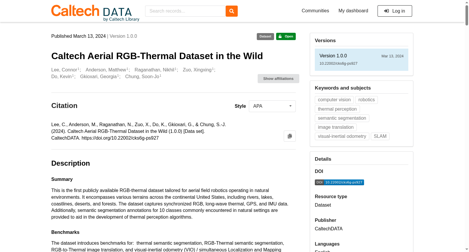
This is the first publicly available RGB-thermal dataset tailored for aerial field robotics operating in natural environments. It encompasses various terrains across the continental United States, including rivers, lakes, coastlines, deserts, and forests. The dataset captures synchronized RGB, long-wave thermal, GPS, and IMU data. Additionally, semantic segmentation annotations for 10 classes commonly encountered in natural settings are provided to aid in the development of thermal perception algorithms.
Benchmarks
The dataset introduces benchmarks for: thermal semantic segmentation, RGB-Thermal semantic segmentation, RGB-to-Thermal image translation, and visual-inertial odometry (VIO) / simultaneous Localization and Mapping (SLAM).
Code
Please use the accompanying code and scripts to help process the data: https://github.com/aerorobotics/caltech-aerial-rgbt-dataset
Citation:
If this dataset has been useful to you, please cite our paper:
@article{lee2024cart,
title={CART: Caltech aerial RGB-thermal dataset in the wild},
author={Lee, Connor and Anderson, Matthew and Raganathan, Nikhil and Zuo, Xingxing and Do, Kevin and Gkioxari, Georgia and Chung, Soon-Jo},
journal={arXiv preprint arXiv:2403.08997},
year={2024}
}
提供机构:
CaltechDATA
创建时间:
2024-03-28
搜集汇总
数据集介绍
背景与挑战
背景概述
该数据集是首个公开可用的RGB-热数据集,专为自然环境中运行的空中野外机器人设计,覆盖美国大陆多种地形(如河流、湖泊、沙漠和森林)。它包含同步的RGB、长波热、GPS和IMU数据,并提供10个常见自然场景类别的语义分割标注,支持热感知算法开发和相关基准测试(如语义分割、图像转换和SLAM)。
以上内容由遇见数据集搜集并总结生成



