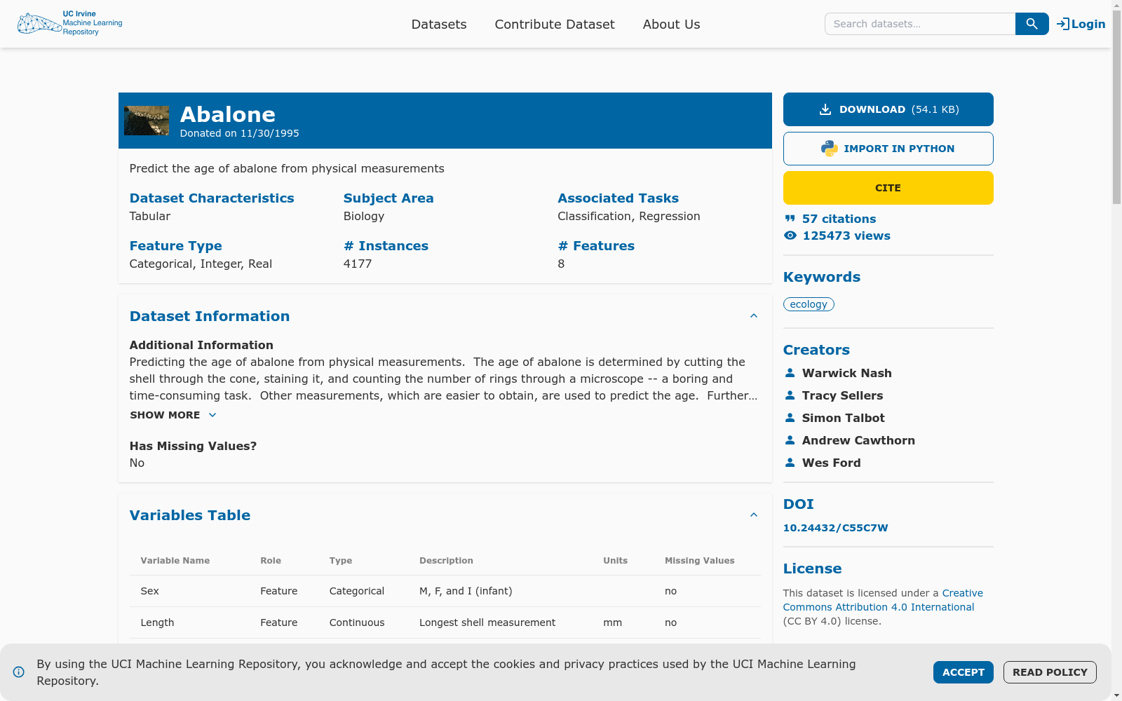
UCI Machine Learning Repository: Abalone|生物学数据集|机器学习数据集
收藏
- UCI Machine Learning Repository首次发布Abalone数据集,该数据集用于预测鲍鱼的年龄,基于其物理测量数据。
- Abalone数据集首次应用于机器学习研究,特别是在分类和回归任务中,展示了其在预测模型中的有效性。
- Abalone数据集被广泛用于多个学术研究项目,成为评估和比较不同机器学习算法性能的标准数据集之一。
- 随着大数据和深度学习技术的发展,Abalone数据集开始被用于探索更复杂的模型和算法,如神经网络和支持向量机。
- Abalone数据集继续在现代机器学习研究中发挥作用,特别是在数据预处理、特征选择和模型优化方面的研究中。
- 1UCI Machine Learning Repository: Abalone Data SetUniversity of California, Irvine · 1994年
- 2A Comparative Study of Machine Learning Algorithms for Predicting Abalone AgeUniversity of Technology Sydney · 2020年
- 3Predicting the Age of Abalone Using Random Forests and Support Vector MachinesUniversity of Western Australia · 2018年
- 4Deep Learning Approaches for Predicting Abalone AgeUniversity of Adelaide · 2019年
- 5Feature Selection and Ensemble Learning for Predicting Abalone AgeUniversity of Tasmania · 2017年
HyperGlobal-450K - 全球最大规模高光谱图像数据集
HyperGlobal-450K数据集由武汉大学联合国内外多所知名高校及研究机构共同构建,是迄今为止全球规模最大的高光谱图像数据集。该数据集包含约45万张高光谱图像,规模等价于超过2000万张不重叠的三波段图像,远超现有的同类数据集。数据集涵盖了全球范围内的高光谱遥感图像,包括来自地球观测一号(EO-1)Hyperion和高分五号(GF-5B)两种传感器的图像,光谱范围从可见光到短波及中波红外,具有从紫外到长波红外的330个光谱波段,空间分辨率为30米。每幅图像经过精心处理,去除了无效波段和水汽吸收波段,保留了具有实际应用价值的光谱信息。HyperGlobal-450K数据集不仅支持高光谱图像的基础研究,还能够用于开发和测试各种高光谱图像处理方法,比如图像分类、目标检测、异常检测、变化检测、光谱解混、图像去噪和超分辨率等任务。
github 收录
全国 1∶200 000 数字地质图(公开版)空间数据库
As the only one of its kind, China National Digital Geological Map (Public Version at 1∶200 000 scale) Spatial Database (CNDGM-PVSD) is based on China' s former nationwide measured results of regional geological survey at 1∶200 000 scale, and is also one of the nationwide basic geosciences spatial databases jointly accomplished by multiple organizations of China. Spatially, it embraces 1 163 geological map-sheets (at scale 1: 200 000) in both formats of MapGIS and ArcGIS, covering 72% of China's whole territory with a total data volume of 90 GB. Its main sources is from 1∶200 000 regional geological survey reports, geological maps, and mineral resources maps with an original time span from mid-1950s to early 1990s. Approved by the State's related agencies, it meets all the related technical qualification requirements and standards issued by China Geological Survey in data integrity, logic consistency, location acc racy, attribution fineness, and collation precision, and is hence of excellent and reliable quality. The CNDGM-PVSD is an important component of China' s national spatial database categories, serving as a spatial digital platform for the information construction of the State's national economy, and providing informationbackbones to the national and provincial economic planning, geohazard monitoring, geological survey, mineral resources exploration as well as macro decision-making.
DataCite Commons 收录
中国近海台风路径集合数据集(1945-2024)
1945-2024年度,中国近海台风路径数据集,包含每个台风的真实路径信息、台风强度、气压、中心风速、移动速度、移动方向。 数据源为获取温州台风网(http://www.wztf121.com/)的真实观测路径数据,经过处理整合后形成文件,如使用csv文件需使用文本编辑器打开浏览,否则会出现乱码,如要使用excel查看数据,请使用xlsx的格式。
国家海洋科学数据中心 收录
flames-and-smoke-datasets
该仓库总结了多个公开的火焰和烟雾数据集,包括DFS、D-Fire dataset、FASDD、FLAME、BoWFire、VisiFire、fire-smoke-detect-yolov4、Forest Fire等数据集。每个数据集都有详细的描述,包括数据来源、图像数量、标注信息等。
github 收录
RFUAV
RFUAV数据集是由浙江科技大学信息科学与工程学院开发的高质量原始射频数据集,包含37种不同无人机的约1.3 TB原始频率数据。该数据集旨在解决现有无人机检测数据集类型单一、数据量不足、信号-to-噪声比(SNR)范围有限等问题,提供了丰富的SNR级别和用于特征提取的基准预处理方法及模型评估工具。数据集适用于射频无人机检测和识别,有助于推动相关技术的研究与应用。
arXiv 收录
