矿山三维地质分析模型
收藏贵州省数据知识产权登记平台2025-09-15 更新2025-09-16 收录
下载链接:
https://gzdipp.gzsis.cn:12020/noticeDetail?id=1095&type=1
下载链接
链接失效反馈官方服务:
资源简介:
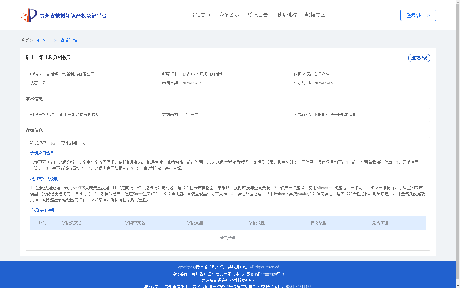
1、空间数据处理:采用ArcGIS完成矢量数据(断层走向线、矿层边界线)与栅格数据(岩性分布栅格图)的编辑、投影转换与空间关联;2、矿产三维建模:使用Micromine构建地层三维切片、矿体三维轮廓、断层空间展布模型,实现地质结构的三维可视化;3、等值线绘制:通过Surfer生成矿石品位等值线图,直观呈现品位分布规律;4、属性数据处理:利用Python(集成pandas库)清洗属性数据表(如岩性名称、地层厚度),补全钻孔数据缺失值、剔除超出合理范围的矿石品位异常值,确保属性数据完整性。
1. Spatial Data Processing: ArcGIS was utilized to edit, conduct projection transformation, and establish spatial association for vector data (including fault strike lines and ore deposit boundary lines) and raster data (lithology distribution raster maps).
2. Mineral Resource 3D Modeling: Micromine was employed to construct 3D strata slices, 3D ore body contours, and fault spatial distribution models, realizing 3D visualization of geological structures.
3. Contour Plotting: Surfer was used to generate ore grade contour maps to intuitively demonstrate the distribution rules of ore grades.
4. Attribute Data Processing: Python integrated with the pandas library was adopted to clean attribute data tables (such as lithology names and formation thicknesses), fill in missing values in borehole data, and remove outliers of ore grades that exceed reasonable ranges, so as to guarantee the integrity of attribute data.
提供机构:
贵州博创智新科技有限公司
创建时间:
2025-09-12
搜集汇总
数据集介绍
背景与挑战
背景概述
该数据集是一个矿山三维地质分析模型,规模为1G,每日更新,专注于矿山地质分析和安全生产全流程,应用场景包括矿产资源估算、开采设计优化和灾害风险预判。它基于地形地貌、地层岩性等多类核心数据,采用ArcGIS、Micromine和Python等技术进行数据处理和三维可视化,旨在支持地质研究和决策。
以上内容由遇见数据集搜集并总结生成


