全国土地覆盖分类数据(2005年)
收藏资源简介:
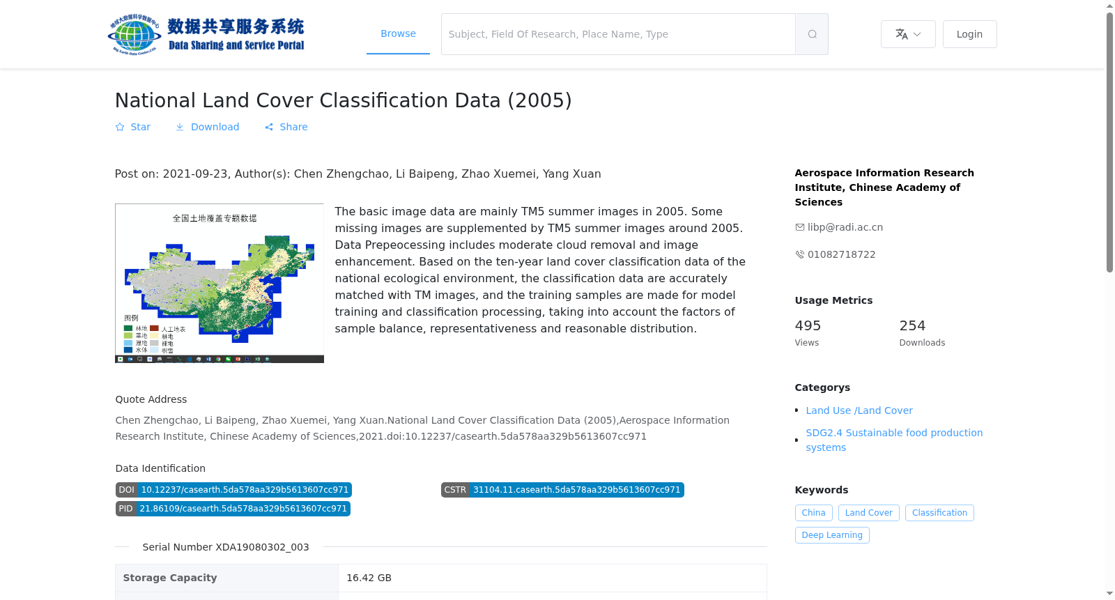
基础影像数据以2005年TM5夏季影像为主,缺失部分影像用2005年前后的夏季TM影像补充。预处理工作包括适度去云及增强。主要基于采用全国生态环境十年变化土地覆盖分类数据,将分类数据与TM影像精确配准,综合考虑样本均衡性、代表性、分布合理等因素,制作训练样本,进行模型训练及分类处理。
The basic image dataset primarily uses summer TM5 images acquired in 2005 as the main source, with missing images supplemented by summer TM images from the period around 2005. Preprocessing operations include moderate cloud removal and image enhancement. Mainly based on the national land cover classification dataset for China's ecological and environmental changes over the past decade, the classification data was precisely registered with the TM images. Afterwards, training samples were created by comprehensively considering factors including sample balance, representativeness, and reasonable distribution, followed by model training and classification processing.