
SDGSAT-1卫星标准数据产品1级
收藏地球大数据科学工程2024-05-11 收录
下载链接:
https://data.casearth.cn/sdo/detail/654c6f95819aec39c94d5dbe
下载链接
链接失效反馈官方服务:
资源简介:
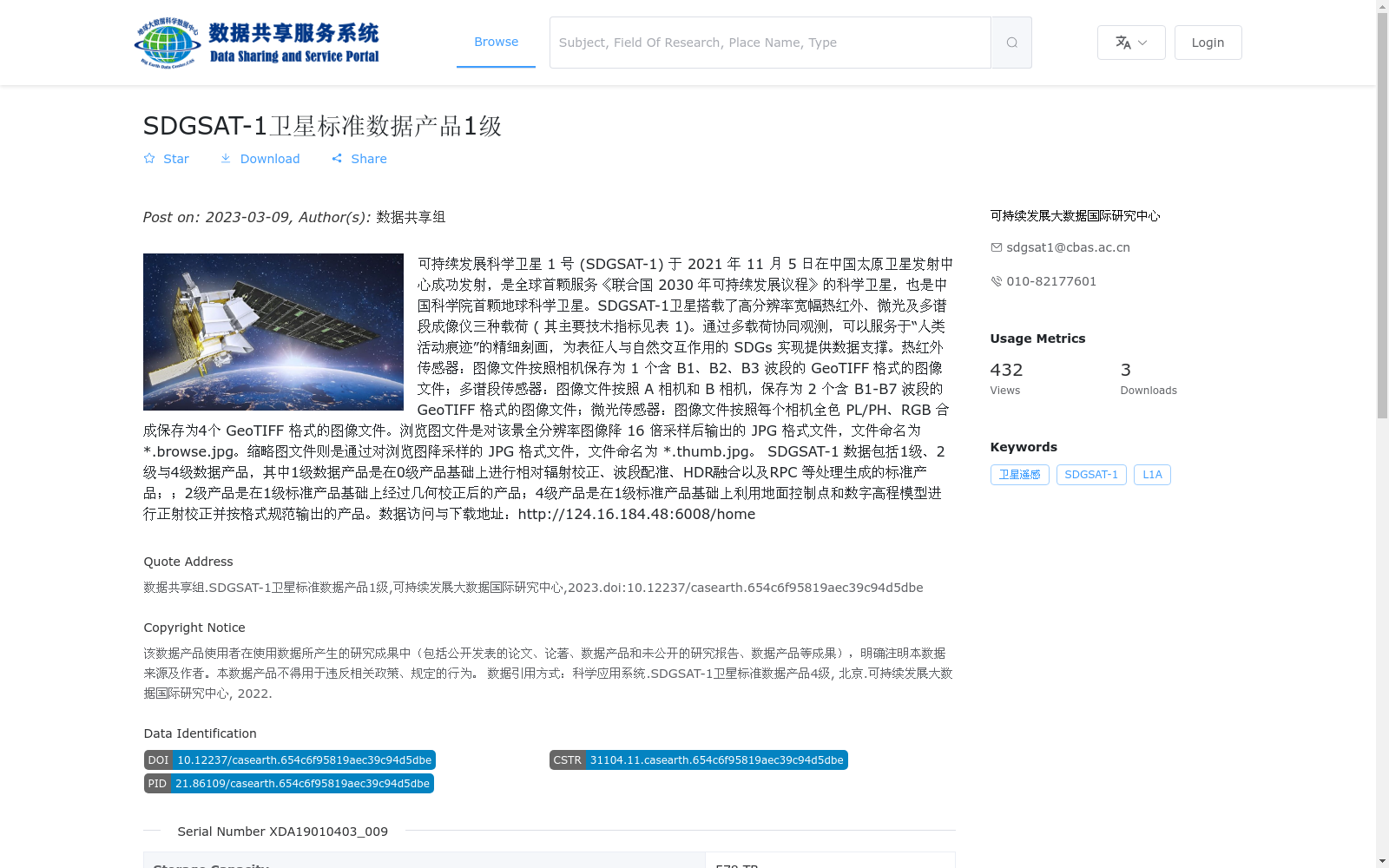
可持续发展科学卫星 1 号 (SDGSAT-1) 于 2021 年 11 月 5 日在中国太原卫星发射中心成功发射,是全球首颗服务《联合国 2030 年可持续发展议程》的科学卫星,也是中国科学院首颗地球科学卫星。SDGSAT-1卫星搭载了高分辨率宽幅热红外、微光及多谱段成像仪三种载荷 ( 其主要技术指标见表 1)。通过多载荷协同观测,可以服务于“人类活动痕迹”的精细刻画,为表征人与自然交互作用的 SDGs 实现提供数据支撑。热红外传感器:图像文件按照相机保存为 1 个含 B1、B2、B3 波段的 GeoTIFF 格式的图像文件;多谱段传感器:图像文件按照 A 相机和 B 相机,保存为 2 个含 B1-B7 波段的 GeoTIFF 格式的图像文件;微光传感器:图像文件按照每个相机全色 PL/PH、RGB 合成保存为4个 GeoTIFF 格式的图像文件。浏览图文件是对该景全分辨率图像降 16 倍采样后输出的 JPG 格式文件,文件命名为 *.browse.jpg。缩略图文件则是通过对浏览图降采样的 JPG 格式文件,文件命名为 *.thumb.jpg。 SDGSAT-1 数据包括1级、2级与4级数据产品,其中1级数据产品是在0级产品基础上进行相对辐射校正、波段配准、HDR融合以及RPC 等处理生成的标准产品;;2级产品是在1级标准产品基础上经过几何校正后的产品;4级产品是在1级标准产品基础上利用地面控制点和数字高程模型进行正射校正并按格式规范输出的产品。数据访问与下载地址:http://124.16.184.48:6008/home
The Sustainable Development Science Satellite 1 (SDGSAT-1) was successfully launched at the Taiyuan Satellite Launch Center in China on November 5, 2021. It is the world's first scientific satellite serving the UN 2030 Agenda for Sustainable Development, as well as the first Earth science satellite of the Chinese Academy of Sciences (CAS).
SDGSAT-1 is equipped with three payloads: high-resolution wide-swath thermal infrared, low-light-level, and multi-spectral imagers (their main technical specifications are listed in Table 1). Through coordinated multi-payload observations, it enables detailed characterization of "traces of human activities", providing data support for the achievement of the Sustainable Development Goals (SDGs) that reflect human-nature interactions.
1. Thermal infrared sensor: Image files are saved as one GeoTIFF-format file containing bands B1, B2 and B3, corresponding to its single camera.
2. Multi-spectral sensor: Image files are saved as two GeoTIFF-format files containing bands B1 to B7, corresponding to Camera A and Camera B respectively.
3. Low-light-level sensor: Image files are saved as four GeoTIFF-format files, which correspond to the panchromatic PL/PH and RGB composite products of each of the two cameras respectively.
Browse images are JPG-format files generated by downsampling the full-resolution scene images by 16 times, with the file naming convention of *.browse.jpg. Thumbnail images are JPG-format files generated by further downsampling the browse images, with the file naming convention of *.thumb.jpg.
SDGSAT-1 data includes Level 1, Level 2 and Level 4 data products. Specifically, Level 1 products are standard products generated by processing Level 0 products with relative radiometric correction, band registration, High Dynamic Range (HDR) fusion, Rational Polynomial Coefficient (RPC) and other processing steps; Level 2 products are geometrically corrected products based on Level 1 standard products; Level 4 products are orthorectified products generated by applying orthorectification using ground control points (GCPs) and digital elevation models (DEM) based on Level 1 standard products, and exported in accordance with standardized format requirements.
Data access and download address: http://124.16.184.48:6008/home
提供机构:
可持续发展大数据国际研究中心搜集汇总
数据集介绍
背景与挑战
背景概述
该数据集是SDGSAT-1卫星的1级标准数据产品,源自全球首颗服务联合国2030年可持续发展议程的科学卫星,于2021年发射。数据产品经过相对辐射校正、波段配准等处理,以GeoTIFF格式提供热红外、多谱段和微光传感器的栅格图像,总规模达578 TB,包含135328个文件,适用于人类活动痕迹的精细刻画和可持续发展目标研究。
以上内容由遇见数据集搜集并总结生成


