西藏-青海-新疆阿勒泰地区日尺度积雪深度连续自动观测网络数据集(2016-2025)
收藏资源简介:
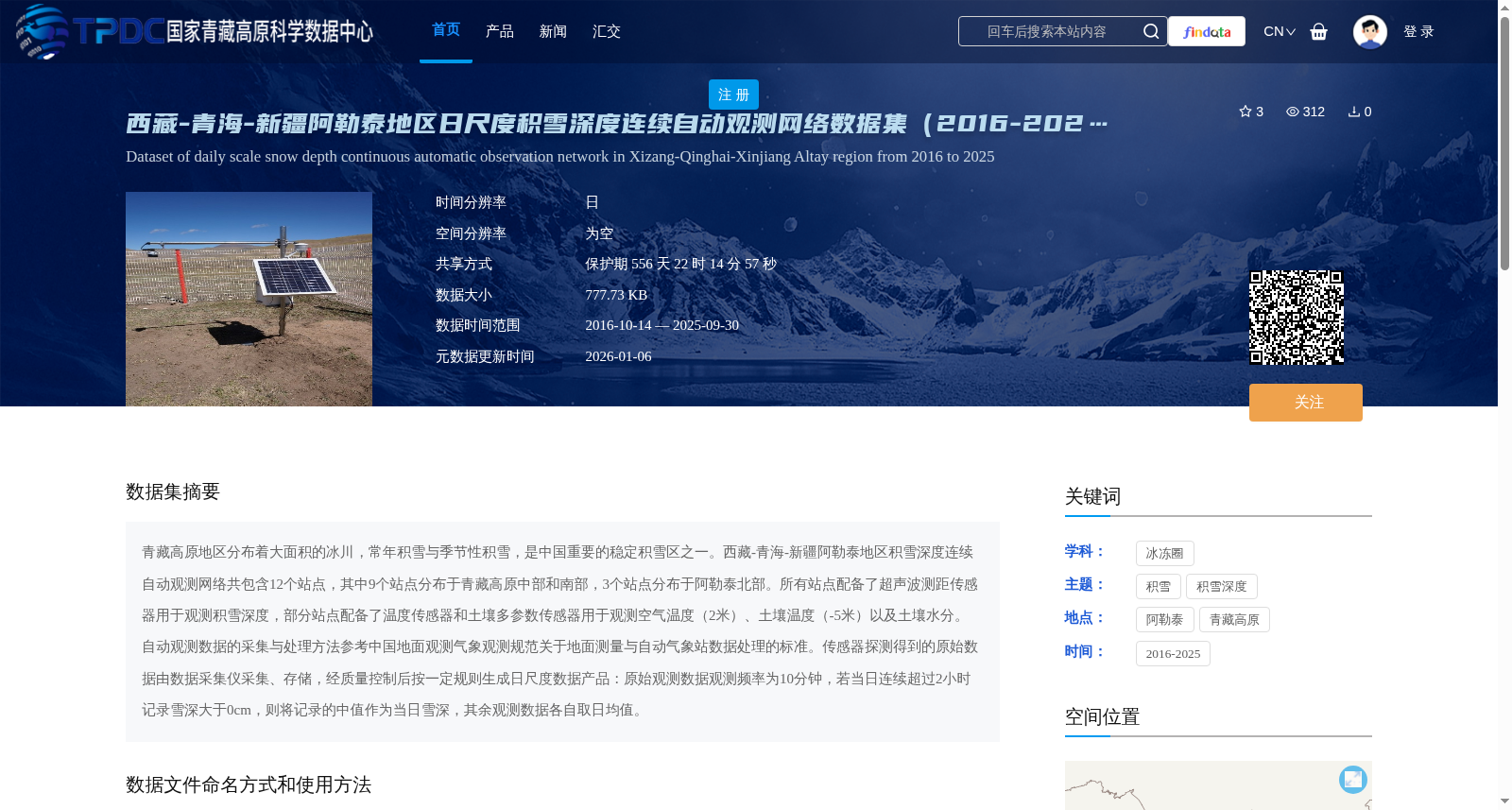
青藏高原地区分布着大面积的冰川,常年积雪与季节性积雪,是中国重要的稳定积雪区之一。西藏-青海-新疆阿勒泰地区积雪深度连续自动观测网络共包含12个站点,其中9个站点分布于青藏高原中部和南部,3个站点分布于阿勒泰北部。所有站点配备了超声波测距传感器用于观测积雪深度,部分站点配备了温度传感器和土壤多参数传感器用于观测空气温度(2米)、土壤温度(-5米)以及土壤水分。 自动观测数据的采集与处理方法参考中国地面观测气象观测规范关于地面测量与自动气象站数据处理的标准。传感器探测得到的原始数据由数据采集仪采集、存储,经质量控制后按一定规则生成日尺度数据产品:原始观测数据观测频率为10分钟,若当日连续超过2小时记录雪深大于0cm,则将记录的中值作为当日雪深,其余观测数据各自取日均值。
The Tibetan Plateau features extensive glaciers, perennial snow cover and seasonal snow cover, and is one of the important stable snow cover regions in China. The continuous automatic snow depth observation network in the Tibet-Qinghai-Xinjiang Altay region comprises 12 stations in total. Nine of these stations are located in the central and southern Tibetan Plateau, while the remaining 3 stations are situated in northern Altay. All stations are equipped with ultrasonic ranging sensors for snow depth monitoring; some stations are additionally fitted with temperature sensors and soil multi-parameter sensors to measure air temperature at 2 meters above ground, soil temperature at 5 meters below ground, and soil moisture. The collection and processing methods for automatic observation data refer to the standards for ground measurement and automatic weather station data processing specified in the China Surface Meteorological Observation Specifications. Raw data detected by the sensors are collected and stored by data acquisition instruments, then undergo quality control procedures before being processed into daily-scale data products following specific rules. The sampling frequency of the original observational data is 10 minutes. If the recorded snow depth exceeds 0 cm continuously for more than 2 hours on a single day, the median of the recorded snow depth values will be taken as the daily snow depth; for all other observation parameters, their daily mean values will be calculated individually.