
STRUCTURE_landfills_buffered
收藏data.austintexas.gov2024-07-18 更新2025-03-25 收录
下载链接:
https://data.austintexas.gov/Public-Safety/STRUCTURE_landfills_buffered/df7v-5avw
下载链接
链接失效反馈官方服务:
资源简介:
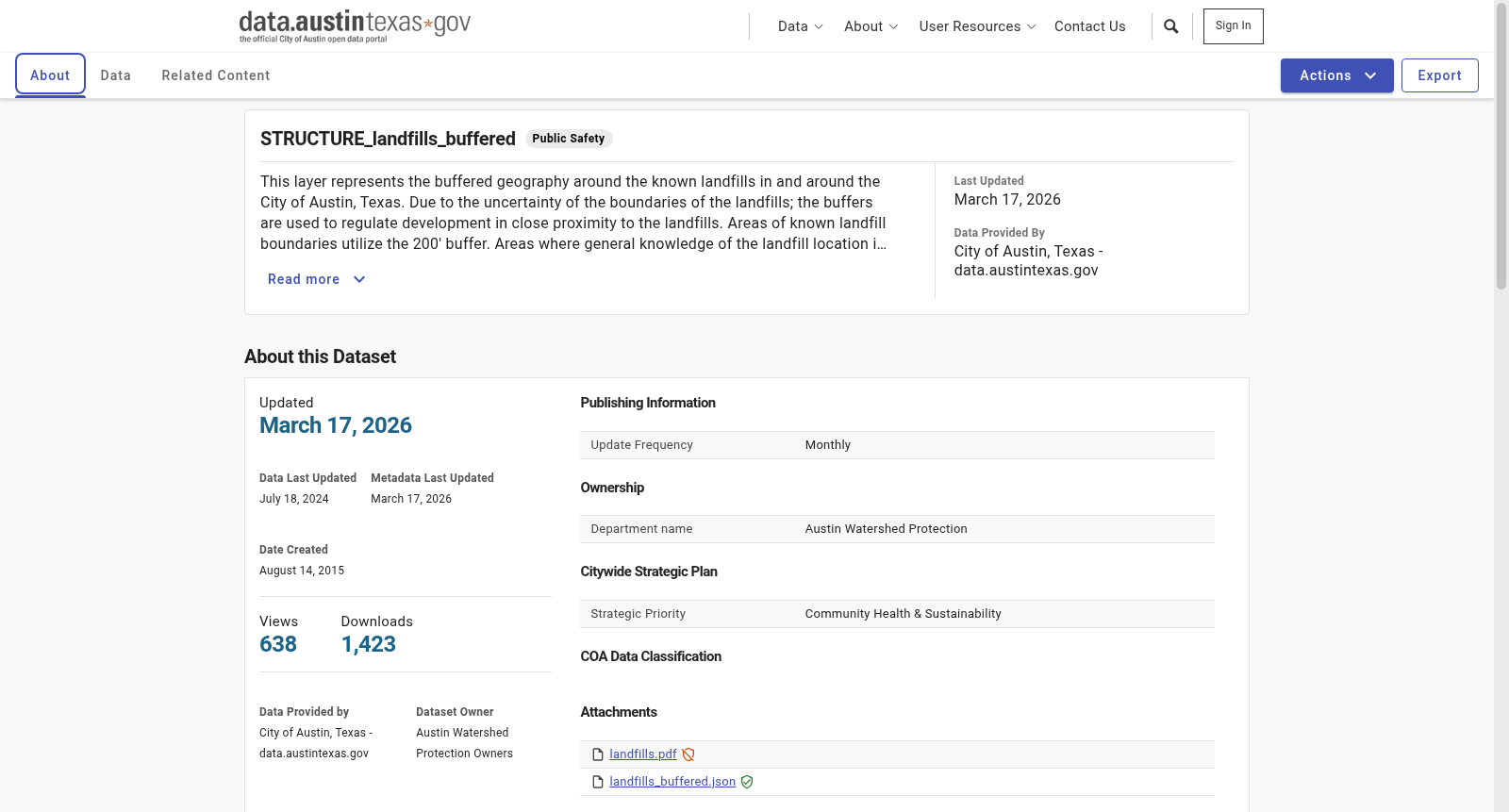
This layer represents the buffered geography around the known landfills in and around the City of Austin, Texas. Due to the uncertainty of the boundaries of the landfills; the buffers are used to regulate development in close proximity to the landfills. Areas of known landfill boundaries utilize the 200' buffer. Areas where general knowledge of the landfill location is known utilize a 1500' buffer.
本层展示了德克萨斯州奥斯汀市及其周边已知垃圾填埋场的缓冲地理区域。鉴于垃圾填埋场边界的不确定性,采用缓冲区以规范其周边的开发。已知垃圾填埋场边界区域采用200英尺的缓冲区,而对于已知垃圾填埋场位置但具体边界不详的区域,则采用1500英尺的缓冲区。
提供机构:
City of Austin, Texas - data.austintexas.gov
搜集汇总
数据集介绍
背景与挑战
背景概述
该数据集提供了美国德克萨斯州奥斯汀市及其周边已知垃圾填埋场的缓冲区域地理信息,包含80行和28列数据,用于规范垃圾填埋场附近的开发活动。数据集根据垃圾填埋场边界的不确定性,分别使用200英尺和1500英尺的缓冲区域进行管理。
以上内容由遇见数据集搜集并总结生成



