
Congressional Districts
收藏Snowflake2025-10-06 更新2025-10-07 收录
下载链接:
https://app.snowflake.com/marketplace/listing/GZT0Z2BR4AE0R
下载链接
链接失效反馈官方服务:
资源简介:
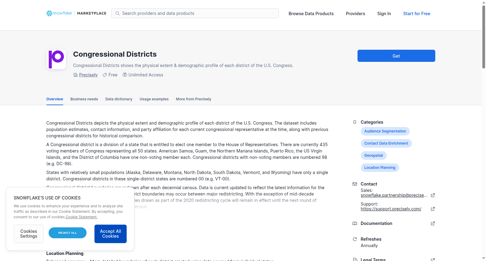
Congressional Districts depicts the physical extent and demographic profile of each district of the U.S. Congress. The dataset includes population estimates, contact information, and party affiliation for each current congressional representative at the time, along with previous congressional districts for historical comparison.
A Congressional district is a division of a state that is entitled to elect one member to the House of Representatives. There are currently 435 voting members of Congress representing all 50 states. American Samoa, Guam, the Northern Mariana Islands, Puerto Rico, the US Virgin Islands, and the District of Columbia have one non-voting member each. Congressional districts with non-voting members are numbered 98 (e.g. DC-98).
States with relatively small populations (Alaska, Delaware, Montana, North Dakota, South Dakota, Vermont, and Wyoming) have only a single district. Congressional districts in these single-district states are numbered 00 (e.g. VT-00).
Congressional district boundaries are redrawn after each decennial census. Data is current updated to reflect the latest information for the 119th Congress. Smaller adjustments to district boundaries may occur between major redistricting. With the exception of mid-decade redistricting, Congressional district boundaries drawn as part of the 2020 redistricting cycle will remain in effect until the next round of redistricting, scheduled to follow the 2030 census.
Shorelined and unshorelined versions of the boundary data is included.
This sample data set covers the San Francisco, CA area. This represents a subset of the full product’s geographic extent. The full commercial offering features geographic coverage of the entire United States. Contact snowflake.partnership@precisely.com for more information on licensing the product.
<p><br/></p>
提供机构:
Precisely
创建时间:
2025-09-24
原始信息汇总
Congressional Districts 数据集概述
数据集基本信息
- 数据集名称: Congressional Districts
- 提供商: Precisely
- 试用信息: 30天免费试用
- 更新频率: 每年
- 地理覆盖范围: 美国全境(按经纬度)
数据集描述
国会选区数据集展示了美国国会每个选区的实际边界和人口统计特征。数据集包含人口估计、联系信息以及每个现任国会代表的党派归属,同时还包含历史国会选区数据用于历史比较。
数据集特征
选区划分规则
- 国会选区是有权选举一名众议院议员的州内分区
- 目前有435名投票议员代表所有50个州
- 美属萨摩亚、关岛、北马里亚纳群岛、波多黎各、美属维尔京群岛和哥伦比亚特区各有一名无投票权议员
- 无投票权选区编号为98(如DC-98)
- 人口较少的州(阿拉斯加、特拉华、蒙大拿、北达科他、南达科他、佛蒙特和怀俄明)只有一个选区,编号为00(如VT-00)
数据时效性
- 选区边界在每次十年人口普查后重新划分
- 数据已更新至第119届国会的最新信息
- 在主要重新划分选区之间可能发生较小的边界调整
数据内容
- 包含海岸线和非海岸线版本的边界数据
- 样本数据集覆盖加利福尼亚州旧金山地区
- 完整商业产品提供美国全境的地理覆盖
商业应用场景
位置规划
- 使用来自各州的数据源创建每个选区的更详细边界
受众细分
- 整合美国人口普查的人口统计估计和预测数据
联系数据丰富
- 包含每个国会代表的当前年度联系信息,包括姓名、地址、电话号码和党派归属
技术信息
数据表结构
- 主表:cde_usa
- 包含3个对象
使用示例
查询特定国会选区(CA-11): sql select * from postaladmin."cde_usa" where district = 11 and state = CA
云区域可用性
AWS
- 非洲(开普敦)
- 亚太(雅加达)
- 亚太(孟买)
- 亚太(大阪)
- 其他46个区域
联系信息
- 销售: snowflake.partnership@precisely.com
- 支持: https://support.precisely.com/
搜集汇总
数据集介绍
背景与挑战
背景概述
该数据集描绘了美国国会选区的物理边界和人口统计信息,包括每个选区的现任议员人口估计、联系方式和党派归属,并提供了历史选区数据用于比较。数据更新至第119届国会,覆盖全美所有州和地区,并区分了海岸线和非海岸线版本,示例数据仅展示旧金山区域。
以上内容由遇见数据集搜集并总结生成



