疏勒河流域土地覆盖数据集(2000)
收藏国家青藏高原科学数据中心2020-07-20 更新2024-03-01 收录
下载链接:
https://data.tpdc.ac.cn/zh-hans/data/bedab93f-f237-430d-90ff-00f0173b04af
下载链接
链接失效反馈官方服务:
资源简介:
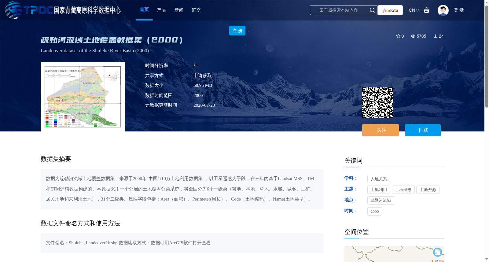
数据为疏勒河流域土地覆盖数据集,来源于2000年"中国1:10万土地利用数据集",以卫星遥感为手段,在三年内基于Landsat MSS,TM和ETM遥感数据构建的。本数据采用一个分层的土地覆盖分类系统,将全国分为6个一级类(耕地、林地、草地、水域、城乡、工矿、居民用地和未利用土地),31个二级类。属性字段包括:Area(面积)、Perimeter(周长)、 Code(土地编码)、Name(土地类型)。
This is the Land Cover Dataset of the Shule River Basin, derived from the "1:100,000 Scale Land Use Dataset of China (2000)". It was developed over three years through satellite remote sensing technologies based on Landsat MSS, TM and ETM remote sensing data. This dataset adopts a national hierarchical land cover classification system, which divides China into 6 first-level categories and 31 second-level categories. The 6 first-level categories include cultivated land, forest land, grassland, water area, urban-rural industrial and mining residential land, and unused land. The attribute fields of the dataset include Area, Perimeter, Land Cover Code and Land Type.
提供机构:
刘纪远,庄大方,王建华,周万村,吴世新
创建时间:
2014-04-27
搜集汇总
数据集介绍
背景与挑战
背景概述
该数据集是2000年疏勒河流域的土地覆盖数据,基于Landsat遥感影像构建,采用分层分类系统(6个一级类、31个二级类),提供面积、周长等属性信息,适用于土地利用和资源管理研究。数据以shapefile格式提供,需通过申请获取,并遵循特定引用和许可协议。
以上内容由遇见数据集搜集并总结生成


